Elevation: 9,498 ft
Prominence: 798

This peak is not in the book. Published December 2024
Bachelor Mountain sits on a high ridgeline that separates Fivemile Creek from Slaughterhouse Gulch in the Eastern Salmon River Mountains. It shows signs of significant historical mining activity. Bachelor Mountain can be reached from either Fivemile Creek Trail to its north or the rugged Fourth of July Creek Jeep Road to its west. Surprisingly, it is seldom climbed. USGS Sunbeam
Access
From ID-75 at Sunbeam, drive north up [signed] Yankee Fork Road/FSR-070. At 8.3 miles, reach a signed junction with Loon Creek Road/FSR-172. Continue northeast on Yankee Fork Road. Reset your odometer at this junction. At 2.9 miles, reach the signed junction with Fourth of July Creek Road/FSR-073. At 3.2 miles, reach the Custer Campground (left). At 4.0 miles, reach the [signed] Fivemile Creek trailhead (FST-161).
The trailhead has ample parking and an information posterboard plus area to disperse camp. The trailhead is NOT at a sharp bend in the road at the mouth of the Fivemile Creek drainage. It is 0.1 miles north of that bend (the USGS map misplaces the trailhead location). Park at the Fivemile Creek trailhead (6,725 feet and 44⁰24’18”N, 114⁰39’16”W).
Map Errors
There is no road to the top of Bachelor Mountain as the USGS topo map suggests. Fourth of July Creek Road (a rugged 2-track only suitable for ATVs and Jeeps) might get you up into Slaughterhouse Gulch, from which you could scramble up the open, gravel/sand on the steep west face of the mountain.
North Ridge, Class 2
The Climb
From the trailhead, hike about a mile southeast up the meandering, narrow, up-and-down Fivemile Creek Trail (made for MCs) to a short distance past a major gully to the right/south. At this point, the trail is now going uphill again and has past the thick vegetation of the Fivemile Creek drainage. Leave the trail and descend in semi-open pine forest to the creek drainage. The terrain is a mix of downed timber and grassy slopes. The creek drainage is surrounded by trees and brush. Find a log crossing (or wade the shallow creek in your boots) to reach a semi-open patch on the south side of the creek.
Scramble south steeply up short scrub and gravel in a pine forest. You will soon find a ridge (there are several) heading south-southwest. Follow this ridge up through a very steep pine forest (with some blowdown to navigate) to reach a large, rocky ridge outcrop with talus/scree slopes on its north and west sides. Skirt this ridge point on its right/west side by crossing an angled talus/scree slope with forest nearby. Once past the point, re-enter the pine forest and head south across a flat, forested area at about 8,000 feet. This section has some blowdown to skirt or climb over.
The ridge wiggles right/southwest then bends left-ish/south-southeast to climb an intimidating, steep ridge section with a few ugly ridge towers/blocks. Stay on or close to the forested ridge crest. Skirt past the ridge towers on their right/west side. The steepness and blowdown are the problem here. Higher up (at about 9,000 feet), the slope eases and the left/east edge of the ridge offers relief from the endless ridge trees/blowdown in open gravel. The upper section of the ridge goes quickly and the summit hump finally appears. The final push to the summit is easy. The summit hump had no cairn but had a large wooden post (probably from miners) laying on the ground at the high point. I built a nice cairn atop the high point and stuck the post in it. I also stood on a few other rocky outcrops nearby that are of similar height “just to be sure.”
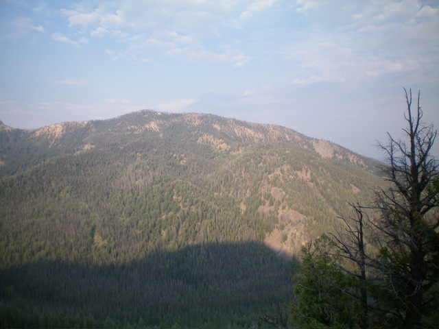
On the descent, the scree/gravel is much looser than on the ascent, so be careful. The north ridge wiggles quite a bit but is generally narrow and well-defined until you descend below 7,800 feet. Angle right-ish/northeast here to return to Fivemile Creek at the departure point and the trail. Enjoy the magnificent view of rocky, rugged Peak 8250 as you descend the FivemileCreek Trail.

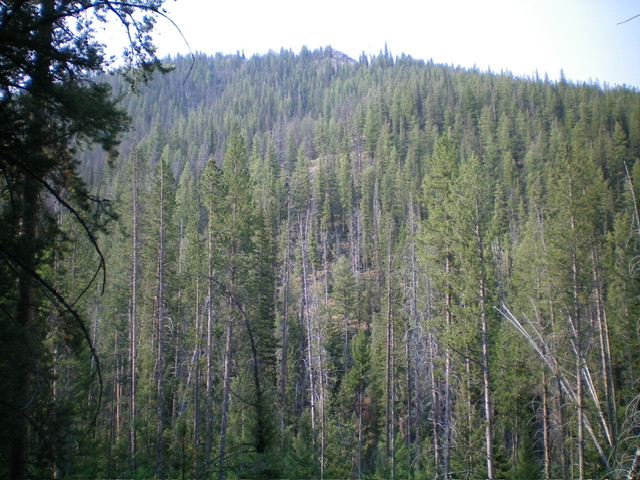
Looking up the forested toe of the north ridge Bachelor Mountain from Fivemile Creek Trail. This was the first leg of my ascent route. Livingston Douglas Photo

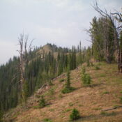
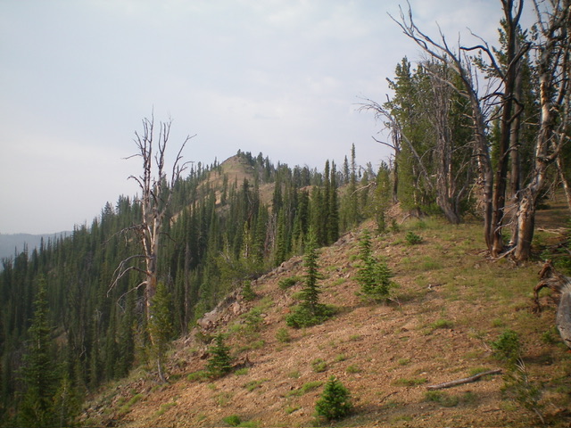
The summit hump (left of center) and the north ridge (right of center). This was the upper leg of my ascent route. Livingston Douglas Photo
Additional Resources
Regions: Eastern Salmon River Mountains->Salmon River Mountains->Southeast Corner Peaks->WESTERN IDAHO
Mountain Range: Eastern Salmon River Mountains
Longitude: -114.6425 Latitude: 44.3717
