Elevation: 8,969 ft
Prominence: 309

This peak is not in the book. Published November 2022
Bald Mountain is a seldom-climbed peak that towers above the historic hamlet of Custer, Idaho. It sits due south of the more prominent Mount Greylock (9,857 feet). Bald Mountain separates Swift Gulch from Puzzler Gulch in the Eastern Salmon River Mountains. USGS Custer
Access
From ID-75, drive north from Sunbeam on [signed] Yankee Fork Road/FSR-013. At 8.3 miles, reach a signed junction with Loon Creek Road/FSR-172 (left). At 10.1 miles, after passing through the Custer townsite, reach an unsigned junction with a spur road (left). Park at this junction (6,505 feet). GPS coordinates: 44⁰23’33”N, 114⁰41’20”W.
Southeast Ridge, Class 3
The Climb
From the road junction, bushwhack west through a short patch of forest to reach open scrub. Scramble right/north up steep-ishscrub and loose gravel to reach the crest of the southeast ridge in forested terrain. Reach an open, steep, rocky ridge section at about 7,000 feet. This ridge section goes at Class 3. At about 7,400 feet, the forest takes over and it is a pleasant ridge climb (not much blowdown) up to tree line at about 8,350 feet.
The terrain is now steep, loose scree/gravel. Firmer rock soon takes over and the southeast ridge merges into the east ridge at 8,400 feet. Scramble west up the reasonably stable talus/scree mix, skirting the left/south side of a final ridge hump using a game trail to make the final easy scramble to the summit hump. The small summit of Bald Mountain has triangulation posts and wiring laying on the ground and a torn-down summit cairn. I rebuilt the summit cairn on the high point into a respectable pile of rocks.

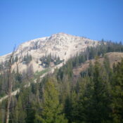
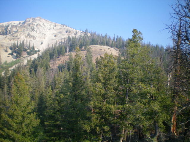
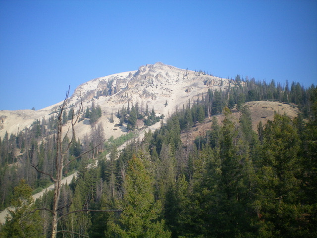
The upper southeast ridge (dead center) as viewed from Point 7781. This was my ascent route. The summit of Bald Mountain is left of center. Livingston Douglas Photo

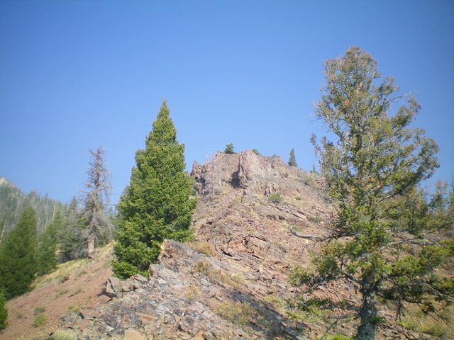
The Class 3 ridge rock high on the southeast shoulder of Bald Mountain. This was my descent route. Livingston Douglas Photo
East Ridge/Southeast Spur, Class 3
The Descent
From the summit, descend the east ridge. The ridge is initially open talus/scree (easy) but then becomes thickly forested after its juncture with the southeast ridge at 8,400 feet. The east ridge is tedious in this forested section and offers minimal visibility with a fair amount of blowdown to contend with. Continue descending east and aim for a rocky outcrop at 7,800 feet on a flat, elongated ridge section with a critical ridge juncture. At the east end of this flat section, leave the east ridge and descend a headwall of sorts (Class 3) on the steep, upper section of the southeast spur.
Continue southeast down the semi-open, rocky ridge crest to forested terrain below (with a rocky base at times). The southeast spur flames out lower down into a dry gully that separates the southeast spur from the southeast ridge. Bushwhack right/south across the gully on a weak game trail and contour onto the open scrub of the southeast ridge. Descend the southeast ridge briefly then drop off it to bushwhack east through a short patch of forest to reach the road junction and your parked vehicle.
Additional Resources
Regions: Eastern Salmon River Mountains->Salmon River Mountains->Southeast Corner Peaks->WESTERN IDAHO
Mountain Range: Eastern Salmon River Mountains
First Ascent Information:
- Other First Ascent: Southeast Ridge
- Year: 2022
- Season: Summer
- Party: Livingston Douglas
- Other First Ascent: East Ridge/Southeast Spur (Descent)
- Year: 2022
- Season: Summer
- Party: Livingston Douglas
Longitude: -114.70519 Latitude: 44.40061
