Elevation: 10,192 ft
Prominence: 1,142

Climbing and access information for this peak is on Page 336 of the book. Based on LiDAR measurements, the elevation is now 10,192 feet. Updated November 2024
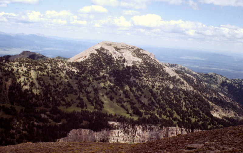
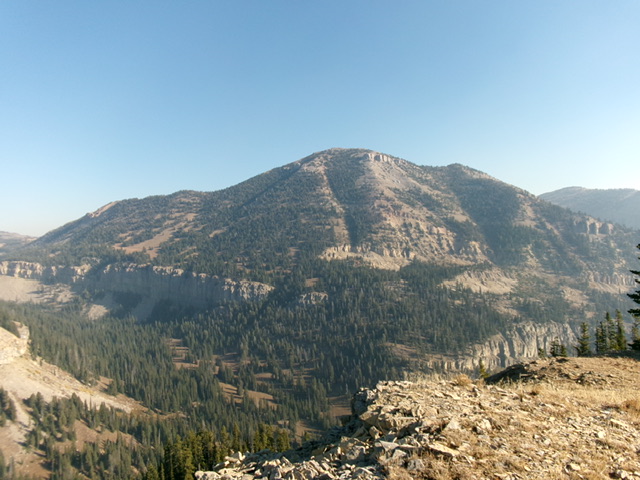
Bald Peak is an impressive, rocky summit that sits high on the Continental Divide and the ID/MT border northwest of Targhee Pass. It can be approached via either the Targhee Creek Trail (as per the book) or via the Continental Divide from Targhee Pass (my chosen route). Both options are lengthy and require a substantial amount of elevation gain. USGS Targhee Pass

Bald Peak as viewed from Targhee Peak
Access
Same as for Lionhead (9,574 feet). This is the second leg of a 2-peak adventure that includes Lionhead and Bald Peak. It covers 14.5 miles with 4,575 feet of elevation gain round trip.
Map Errors
The USGS and Caribou-Targhee National Forest maps mis-position the CDT after it leaves the snowmobile road.
Northeast Ridge, Class 3+/4
The Climb
From the 9,340-foot connecting saddle with Lionhead, follow the CDT all the way to just above (northeast of) the 9,420-foot saddle at the base of the northeast ridge of Bald Peak. The CDT crosses the ridge crest here and drops into a basin north of Bald Peak via a series of switchbacks. Now you face the crux of the climb—the crumbly, steep northeast ridge of Bald Peak. Initially, scramble up through a series of cliff bands. Use a goat trail to advance up the loose, steep gravel and past the hoodoos on this choppy ridge.
Reach a prominent cliff band at about 9,725 feet and find a cairn just under it. Move left/southeast through a narrow notch then scramble up a steep, gravel gully/face (Class 3+/4) to regain the crumbly ridge above the cliff band. This is the crux of the climb. This is only a 25-foot gully/face but it is scary steep on hard gravel/sand/dried mud with no reliable handholds. Stick to the right side to grab onto a few “stable” face boulders/talus to regain the ridge.
Once past this cliff band, the slope relents and is a Class 2 scramble to the summit area. There is some loose scree and tundra in this upper section of the climb. The summit of Bald Peak has two potential high points. The north summit is adorned with an iron ID/MT boundary post and cairn. The south summit has two USGS benchmarks (“Lionhead”) so it is probably the official summit. I built a cairn here. The south summit also has two rappel anchors attached to screws protruding from two separate ground boulders.
Additional Resources
Regions: EASTERN IDAHO->Henrys Lake Range
Mountain Range: Henrys Lake Range

