Elevation: 4,701 ft
Prominence: 156

This butte is not in the book. Published November 2024
Berger Butte is located just north of Mud Lake on the Snake River Plain. This area is a mix of private and public land, so be careful. This climb is entirely on BLM land. USGS Berger Butte
Access
From US-93 south of Twin Falls and north of Rogerson (about 15 miles from each), turn west onto [signed] 2900N. Drive 2.4 miles west on 2900N (paved for the first mile then a decent 2-track road) to an unsigned road junction and a fence row/gate. Park at this junction, just inside the gate (4,630 feet and 42⁰25’07”N, 114⁰37’26”W).
Southeast Face, Class 2
The Climb
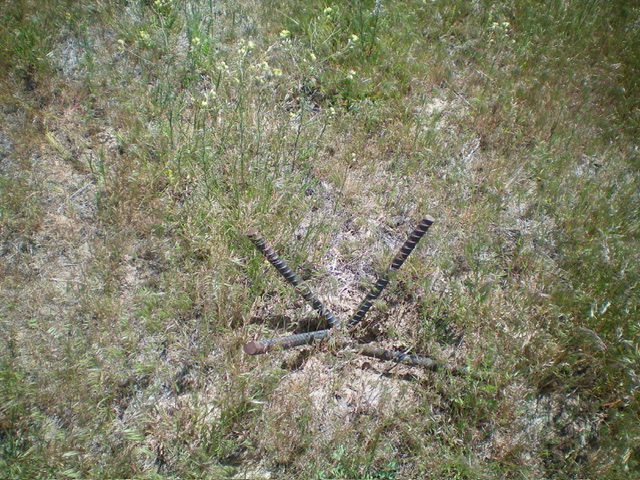
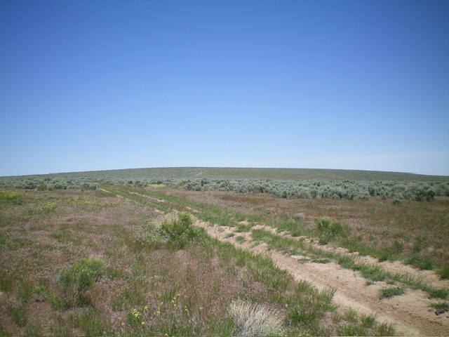
Most of this climb is Class 1. From the road junction, hike northwest up a 2-track road (shown on the USGS topo map) to approach the antenna-clad summit area. Leave the road and bushwhack northwest through easy grass and gapped sagebrush to reach the summit. The protruding rebar (high point) is just northwest of the communication antenna by 20 feet or so. There is no summit cairn. I found no benchmark on top. I returned to the 2-track road and investigated the north summit area, which is west of the road by about 100 feet or so. I found it to be slightly lower than the [official] south summit.

The rebar pieces protruding from the ground on the high point of Berger Butte. Livingston Douglas Photo
Additional Resources
