Elevation: 4,211 ft
Prominence: 302

This butte is not in the book. Published November 2024
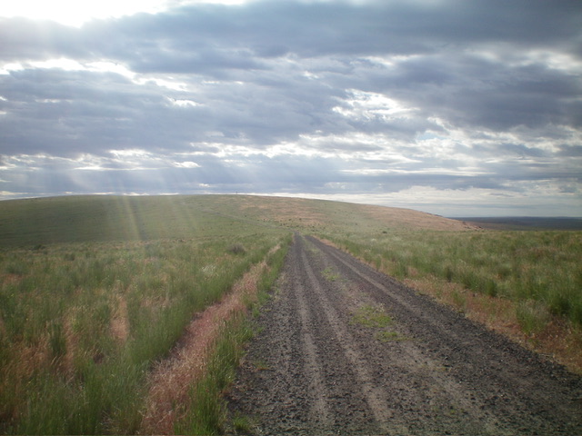
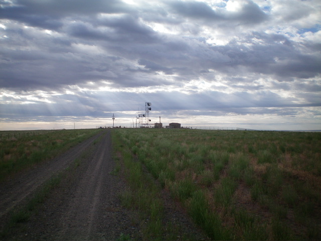
Thanks to LiDAR, Black Butte/Blue Benchmark is a newly-ranked summit. It is located in a desolate area of the Snake River Plain but it is easily reached via a service road to the antenna-clad summit. Black Butte is on the Bruneau Desert and is just east of the Saylor Creek Air Force Range. It is on BLM land. USGS Black Butte West
Access
From the junction of ID-78 and [signed] Browns Creek Road (at about 42⁰56’01”N, 115⁰33’34”W), drive south on Browns Creek Road. At 2.6 miles, the road bends sharply left/east. Continue to follow this meandering road as it heads generally southeast then south. It is a maintained BLM road and is relatively smooth. At 20.8 miles, reach a junction with the unsigned BLM road that heads left/east to the summit. You will pass Sailor Cap Butte about two miles before reaching this junction.
West Ridge, Class 1
The Climb
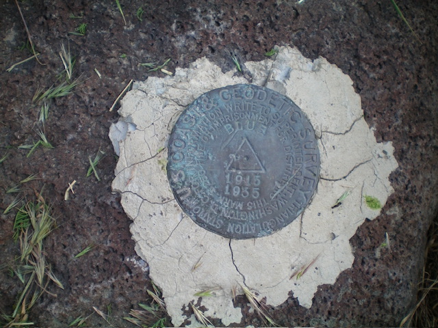
From the road junction, drive east up the BLM/service road for 2.6 miles to its end at the fenced communication towers. Park in an area just outside the fenced summit area (42⁰41’14”N, 115⁰23’02”W). The Blue Benchmark is located on the northeast corner of the summit area, just outside the fencing.
Additional Resources


