Elevation: 5,391 ft
Prominence: 56

This peak is not in the book. Published November 2024
Black Knoll is a hump of boulders and junipers that is located on BLM land east of the North Junipers in Fremont County. It requires a drive (then hike) across unposted private land to reach its rather desolate location. USGS Black Knoll
Access
Same as for North Junipers HP but leave Red Road at its signed junction with Grassy Ridge Road. Turn right/east onto an unsigned road heading east (with a few wiggles). This road is on private land but I saw no signs prohibiting entry or anywhere along it. This is a narrow, grassy road with a few spots of volcanic rock. I only made it 0.7 miles to a cattle fence wire gate with a nice, grassy parking area. Park here (5,240 feet; 44⁰04’20”N, 111⁰46’59”W).
West Face, Class 2
The Climb
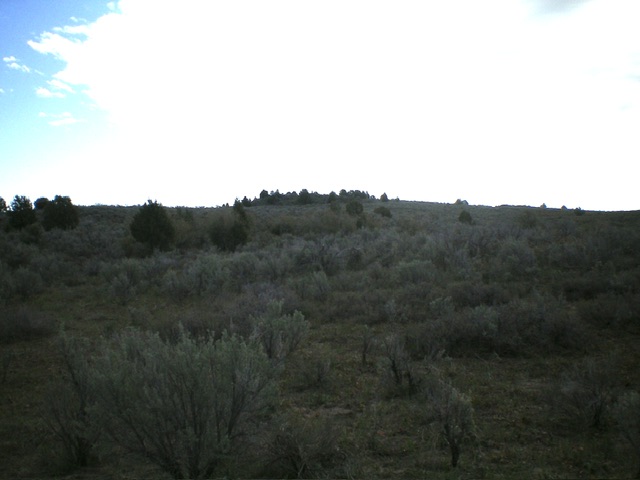
From the parking area, cross the cattle fence and follow the grassy 2-track road east (with some embedded lava boulders here and there) as it wiggles a bit and has some minor ups and downs. The road descends to a meadow and two north-south “T” road junctions. After the 2nd “T junction, continue east directly at Black Knoll, which has some junipers on it to make it stand out. Bushwhack east through thick-ish sagebrush (with gaps and lanes) or, better yet, find an east-west fence row about 200 yards east of the “T” junction (where the fence begins) and follow it to its end at a corner, where the fence heads right/south.
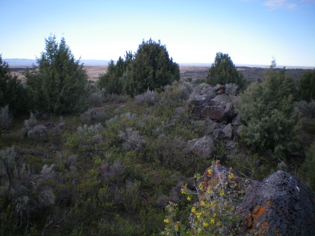
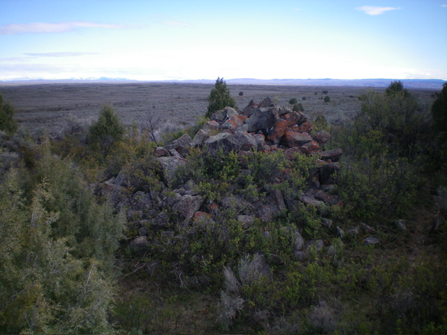
Jump the fence and follow a cattle trail near it briefly. Leave the fence and bushwhack east through cattle-grazed sagebrush (not too difficult) to approach Black Knoll. Scramble up some final large boulders (with thick brush mixed in) to angle left/northeast to reach the highest of two piles of large boulders (the north summit). This is the high point of Black Knoll. There were no signs of previous ascent.
Black Knoll has two distinctive, rocky summit humps. Investigate the south summit (a pile of boulders) to confirm that it is five feet lower than the north summit. From the south summit, descend west through the gapped sagebrush then follow a cattle trail near the fence row to get about 200 yards from the visible road junction in the meadow. Bushwhack through more sagebrush then follow the grassy 2-track for 1-1/2 miles west to the parking area and your vehicle.
Additional Resources


