The Black Pine Mountains are discussed on Pages 351-353 of the book. Updated May 2020
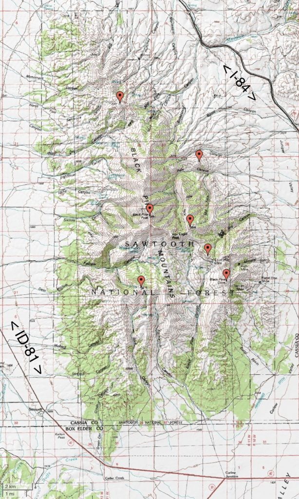
The Black Pine Mountains are located just north of the Utah border and west of I-84. Geographically, the range is the most distinctly defined mountain range in Idaho. It is surrounded by wide, flat valleys, and rises steeply on all sides. Geologically, the range is a textbook example of a Great Basin Mountain Range. The fault block, which forms the entire range, rises to 9,395 feet on Black Peak and is surrounded on all sides by broad alluvial fans. It is believed that Black Pine Peak is the range’s high point but this may be inaccurate. This issue is discussed on the Black Peak and Black Pine Peak Pine pages.
Access Update
Regarding the access information in the book, Livingston Douglas points out that he “I spoke with Mark Ballon (208-312-1120) of the NFS office in Burley this morning. Contrary to the information that was given to me last Fall by Jenny (real estate specialist) of the Burley BLM office, most of the roads leading into the Sawtooth National Forest (in the Black Pine Mountains area) are now open to the public and private land access crossings are not much of a problem. For example, Sweetzer Canyon (on the NE side of the Black Pine Mountains, as accessed from I-84) is open. Pole Canyon Road is open and always has been.
Use the following link to generate a table with all Black Pine Mountains peaks covered on this website: Black Pine Mountains Peaks.
Use this link to read about the Classic Black Pine Mountains Traverse.
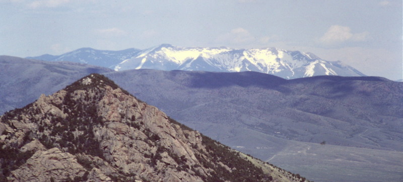
The Black Pine Mountains as viewed from the City of Rocks in the Albion Range.
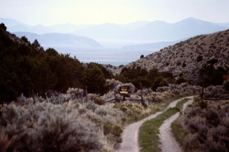
Kelsaw Canyon at the southwest corner of the range is the primary access point for the main crest. The two-track was in good shape when I travelled it.
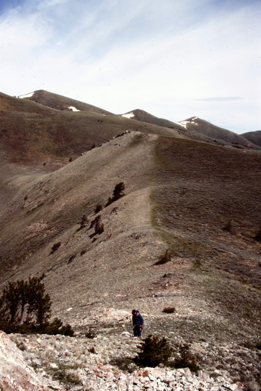
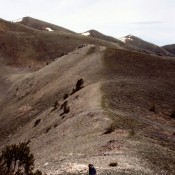
The Black Pine Crest is a windswept, treeless expanse with great views in every direction.
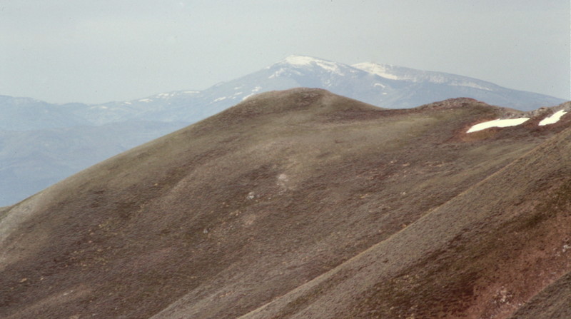
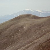
Looking west from the Black Pine Crest to Cache Peak and Mount Independence in the Albion Range.
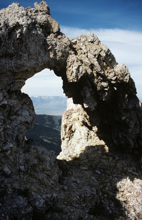
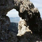
Natural bridge on Black Pine Mountain. This small range is seldom visited and needs looking after before mining interests build another open pit mine on its slopes.
