Elevation: 8,260 ft
Prominence: 440

This peak is not in the book. Published August 2020
Blue Lake Peak is located between the Secesh River and the South Fork Salmon River. It is one of four ranked peaks on the ridge that divides the two drainages between the the Lick Creek/Yellow Pine Road to the south and the Warren Wagon Road to the north. USGS Pony Meadows
Access
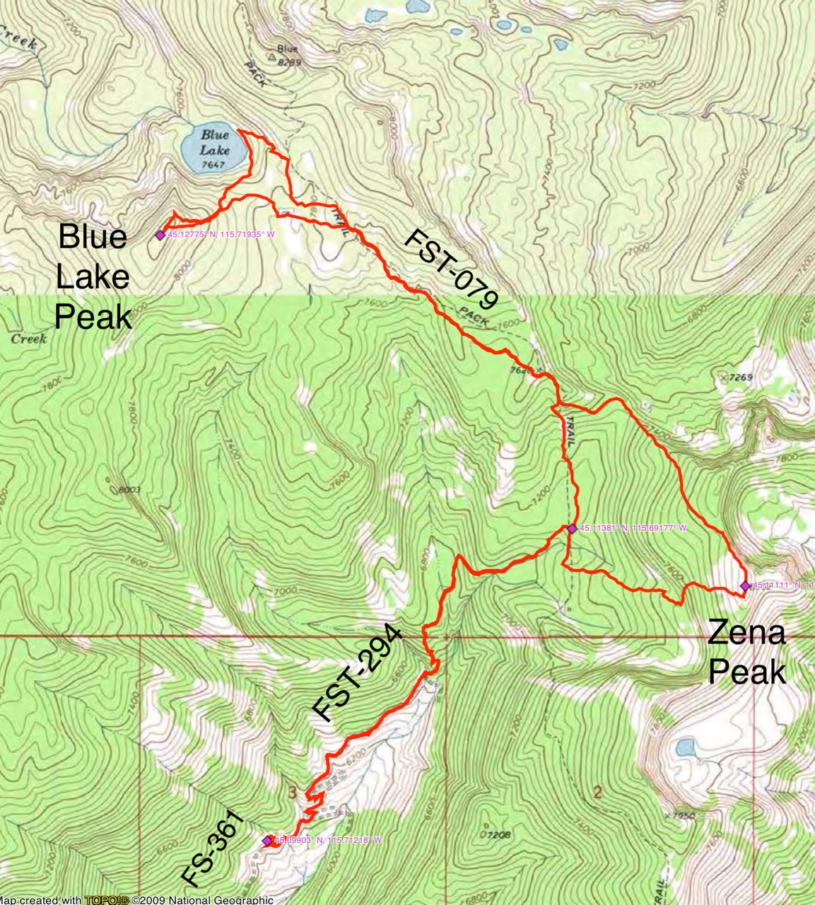
Primary access is via the FH-48, Lick Creek/Yellow Pine Road [(B)(3) on Page 136]. Follow this road to FS-361/Zena Creek Road which leaves FH-48 0.6 miles south of the Ponderosa Campground. Follow FS-361 to its end. From the road’s end, follow FST-294 north to its junction with FST-079. Turn left and hike to Blue Lake.
East Ridge, Class 2
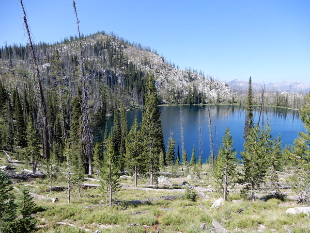
Follow the east ridge from the Blue Lake to the summit. John also climbed Zena Peak on this trip. His total round-trip distance was 10.4 miles with 3,700 feet of elevation gain.
Additional Resources
Mountain Range: Western Salmon River Mountains
Longitude: -115.71929 Latitude: 45.12769

