Elevation: 6,103 ft
Prominence: 33

This butte is not in the book. Published November 2024
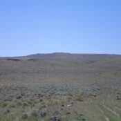
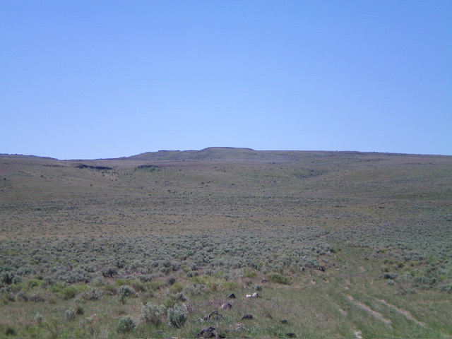
Bobcat Butte is an indistinct hump that sits between Monument Canyon to the west and Rocky Canyon to the east. It is overshadowed by Point 6765 to its south. It is most easily reached via a 2-track road on its north side. USGS Browns Bench North
Access
From US-93 at Rogerson, drive to the center of Rogerson and [signed] 1520N. This is the [paved] Rogerson-Jarbidge highway. Reset your odometer here. Drive 14.9 miles west on the Rogerson-Jarbidge highway to an unsigned junction with a 2-track road on both sides of the highway. Park at the wire fence gate for the 2-track road on the south side of the highway (5,315 feet and 42⁰11’27”N, 114⁰52’15”W). While LOJ shows this road crossing a small patch of private land near the highway, there is no signage and it sure looks like BLM land to me.
Northeast Face, Class 2
The Climb
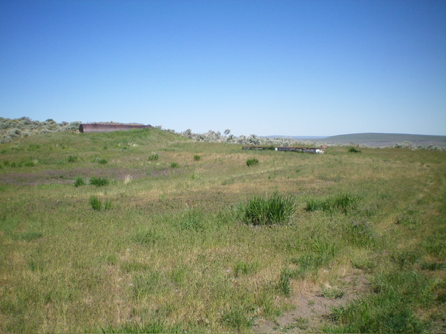
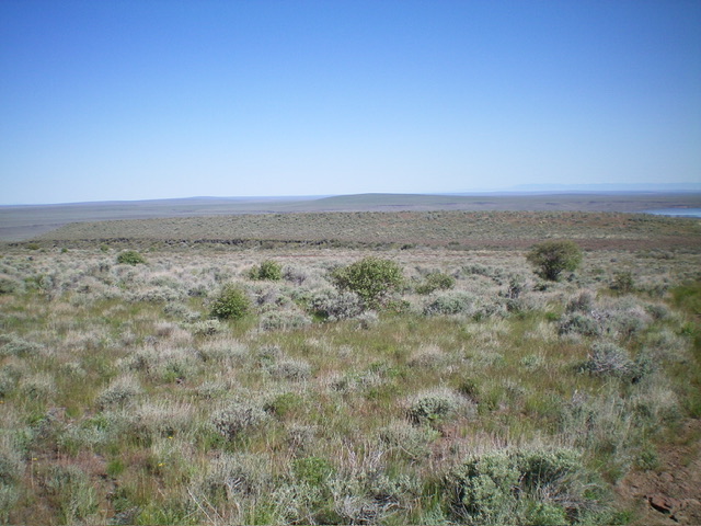
From the fence gate, follow the 2-track road south for about 2-1/2 miles to a small grassy patch with a large, rusty water tank and two cisterns nearby. Leave the road here (at about 5,950 feet) and bushwhack south-southwest up through reasonable grass and sagebrush to reach the brushy summit plateau. Head west through sagebrush to reach the open high point area. I built a cairn here.

The rusty water tank and two cisterns along the 2-track road. This is the critical departure point from the road. Livingston Douglas Photo
Additional Resources

