Elevation: 8,377 ft
Prominence: 797
Climbing and access information for this peak is on Page 114 of the book. Below you will find John Platt’s new and interesting route for this peak. Updated April 2018
This peak, one of 3 Idaho summits named Boulder Mountain, offers great views and is one of the easier summits to climb in the McCall area. As of July 2001, the Boulder Peak Trail had not been maintained in a long time. However, it is still in fair condition and can be followed most of the way to the summit. Look for cairns that lead over the spots where the trail’s tread is a bit sketchy. There is an excellent view from the top of this peak along with the ruins of an old fire lookout. Ask the Forest Service to repair the trail. USGS Fitsum Summit
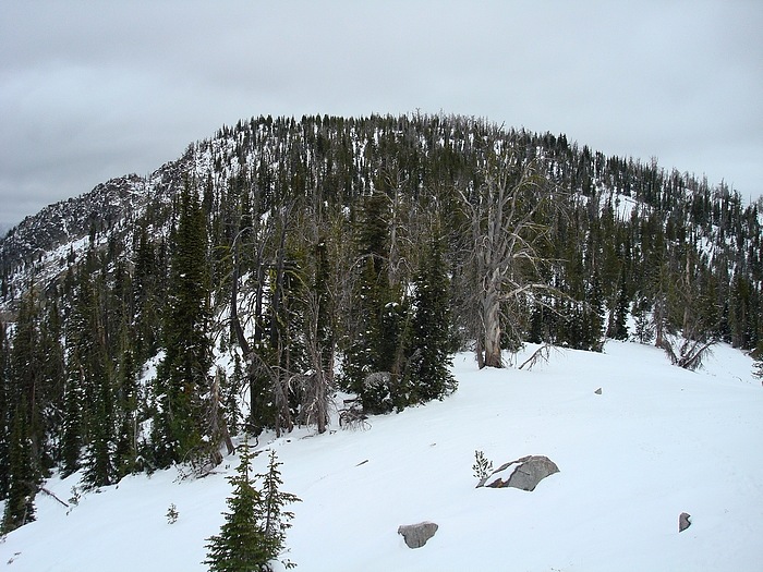
The West Ridge of Boulder Mountain. Dave Pahlas Photo
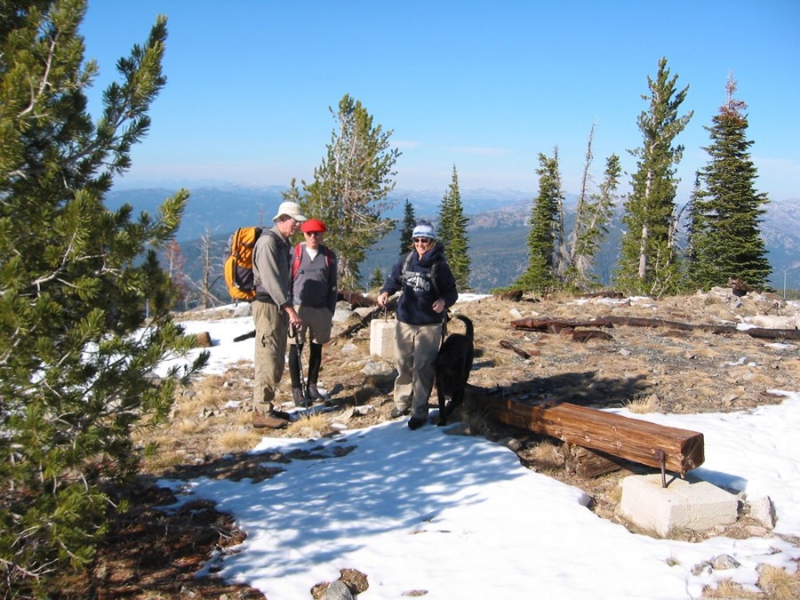
The summit of Boulder Mountain with 3 hikers and the sketchy remains of the fire lookout. John Platt Photoj
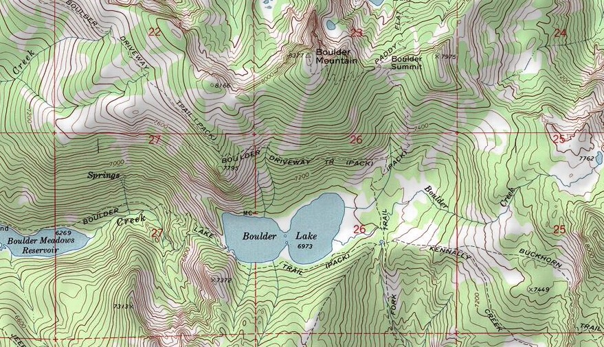
The Boulder Lake drainage is a good base camp for climbing Boulder Mountain and Buckhorn Mountain.
Northwest Ridge Route, Class 2 by John Platt
Access
Our access route. This map shows the network of roads leading toward the Northwest Ridge.
Route
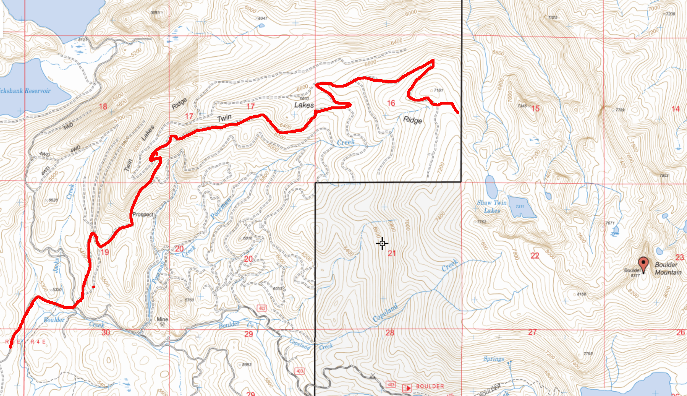
From the trailhead northwest of the summit, we hiked a loop heading into Shaw Twin Lakes. We then ascended, as shown on the map below, to the top of the Northwest Ridge which we followed to the summit. For our descent, we followed the Northwest Ridge back to the trailhead. Our round-trip stats: 5.4 miles with 1,560 feet of elevation gain and 3:59 hours of hiking time.
John’s trip report is linked below.
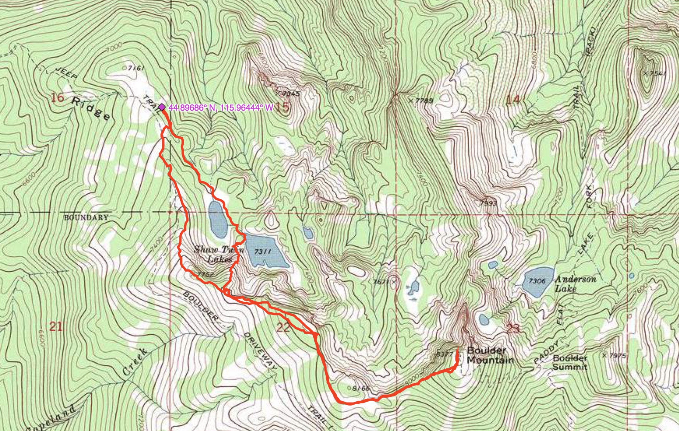
John Platt’s Northwest Ridge Route mapped out. Read John’s trip report for further details.
Additional Resources
Mountain Range: Western Salmon River Mountains
Year Climbed: 2006
Longitude: -115.93819 Latitude: 44.88119