Elevation: 7,386 ft
Prominence: 516

This peak is not in the book. Published November 2024
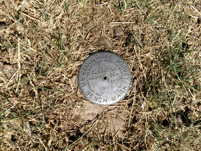
Brock Benchmark is the high point on a ridge that separates Bear Creek from Brockman Creek in the Caribou Range. It is most easily climbed from Brockman Road to its southwest. The USGS benchmark is still on the summit. USGS Herman

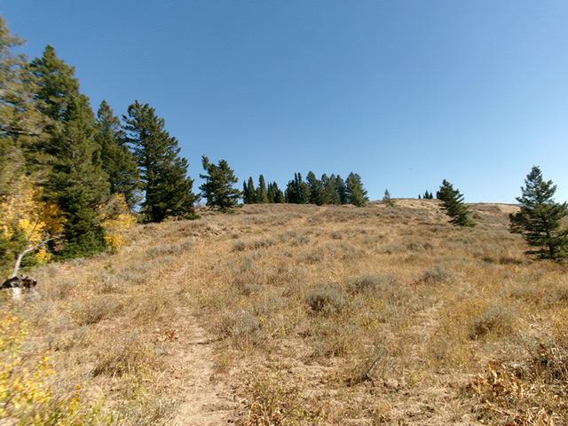
Looking up the southwest face of Brock Benchmark from Brockman Road (start of climb). The summit hump is not yet visible. Livingston Douglas Photo
Access
From Exit 116/Sunnyside Road on I-15 at the south end of Idaho Falls, drive east on Sunnyside Road to its end at a signed “T” junction with Bone Road. Drive 8.6 miles south on [paved] Bone Road to a signed junction with Blackfoot Reservoir Road (right). Continue straight on what is now Long Valley Road. The pavement soon ends but good gravel takes over. This is a maintained county road. Reset your odometer at this junction. At 20.8 miles, reach a signed junction with West Side Road (right) at the northwest corner of Grays Lake.
At 21.3 miles, reach a signed junction with Brockman Road. Turn left/north onto Brockman Road and reset your odometer. At 6.3 miles, reach a signed junction with Dan Creek Road (left). Go straight/north to remain on Brockman Road/FSR-086. Reset your odometer here. At 1.9 miles, reach the Caribou National Forest boundary. At 2.7 miles, reach a signed junction with FSR-075 (left). At 3.6 miles, park in a pullout where a small stream crosses under Brockman Road. This pullout is at 6,405 feet and 43⁰13’44”N, 111⁰26’19”W).
Map Errors
FSR-075 is incorrectly shown as FSR-077 on the USGS topo map. Brockman Road/FSR-086 is not as well maintained as maps indicate. It is a badly-potholed road from just before reaching the National Forest boundary. It must be driven very slowly and carefully.
Southwest Shoulder, Class 2
The Climb
From the roadside pullout, cross to the east side of Brockman Road and follow a cattle trail east-northeast through thick sagebrush up and across a drainage with a small stream. Once across the drainage, head left/north up onto a shoulder on the right/southeast side of the drainage. The initial climb directly up onto the shoulder is steep and thick with scrub. Once on the ridge crest, head northeast up the sagebrush shoulder using cattle trails (initially) and gaps/lanes to make upward progress. This bushwhack is a bit tedious, but it goes.
The slope eases higher up. Reach a forested ridgeline that is flattish and broad. There is an old 2-track road on this ridge. Follow it briefly right/southeast to reach an unsigned junction with another old 2-track. Both 2-track roads are now very weak and are mostly cattle trails in grassy lanes. Go left/east at this junction and head into the thick pine forest on a cattle trail. It is VERY HARD to follow this cattle trail (the only remnants of the 2-track road shown on maps) through this flat, overgrown, forested area with copious deadfall. The old road bed heads due east but is gone in this section. Just bushwhack east through the forest and pick up the 2-track later.
Find the remnants of the 2-track road (with a cattle trail in it) as it heads up a ridge and then bends right/southeast and goes into an area of open scrub. It then turns left/northeast and heads up to the right/south side of the summit ridge (the northwest ridge). Shortcut the road using a cattle trail in this steep push to the ridge crest where the road is heading south to do a final switchback. Once on the southwest side of the northwest ridge, follow a cattle trail in the grassy road bed all the way to the summit of Brock Benchmark.
The summit has a USGS benchmark in the ground (in cement) in short scrub. The high point is about 30 feet away on a slightly-higher bump with a sagebrush bush and several rocks around it. There used to be a summit cairn here, so I rebuilt it by unearthing the large talus rocks from the former cairn. The views from the open summit are splendid. It is clearly the high point on this high ridge.

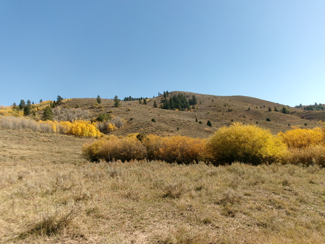
The summit of Brock Benchmark (just right of center) as viewed from high on the northwest ridge. Livingston Douglas Photo
Additional Resources
Regions: Caribou Range->SOUTHERN IDAHO
Mountain Range: Caribou Range
Longitude: -111.4131 Latitude: 43.2318
