Elevation: 4,629 ft
Prominence: 449

This peak is not in the book. Also see the Owyhee Mountains Peaks List for all of the peaks in this range. Updated April 2019
The access road described below was recently posted as a “PRIVATE ROAD.” The road crosses about 50 feet of private property and then enters public lands. Check with the BLM before using the access road: +1 (208) 384-3300
Jason Floyd climbed the peak from east via the Coyote Grade Road. His route description is set out down the page. Updated January 2021
There are six Buck Mountains in Idaho and a total of 23 peaks that include the word “Buck” in their names. This Buck Mountain is situated on the west end of the Owyhee Mountains, just east of US-95. While not a towering summit, it is a worthy goal in the Spring with excellent access. The summit can be reached in just over 1.0 miles with 800 feet of elevation gain. USGS Jump Creek Canyon
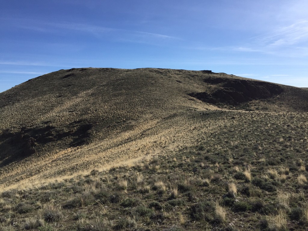
Buck Mountain’s summit as viewed from its West Ridge.
This is the view of the peak’s West Ridge from the road. The true summit is not visible; it is behind the point on the left.
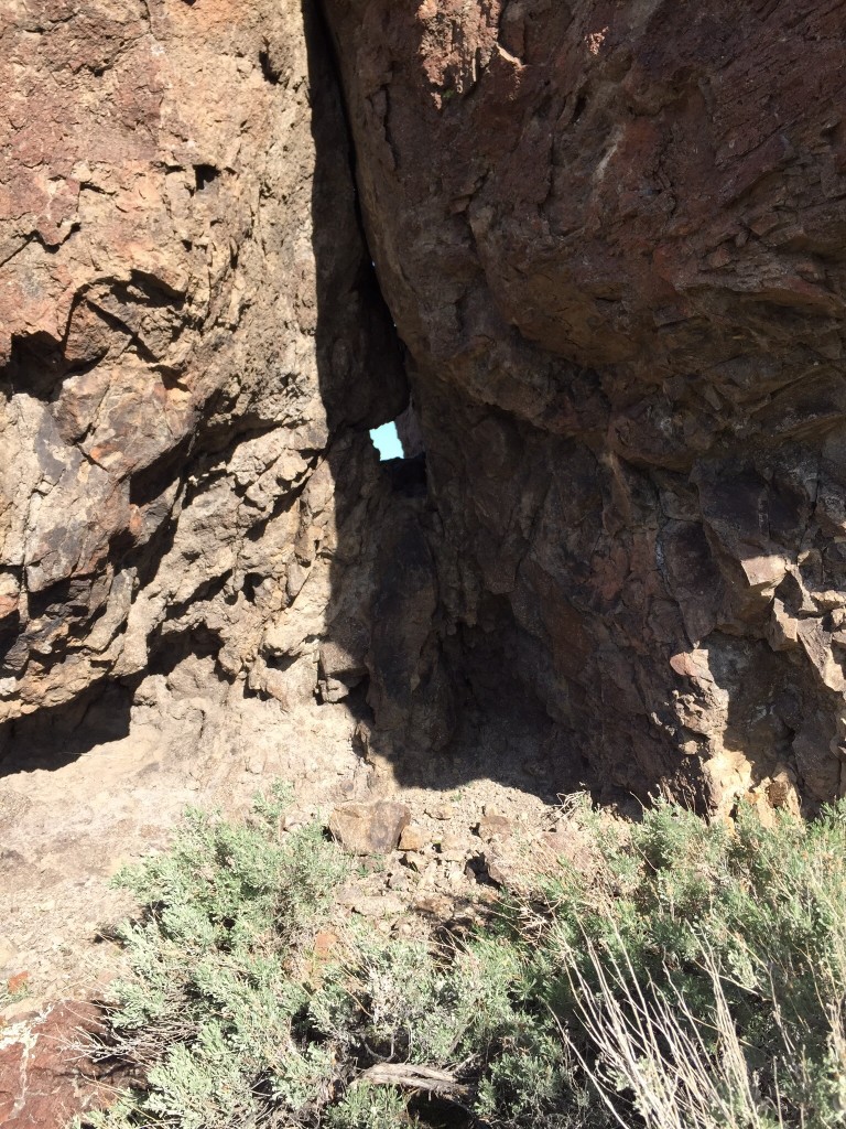
A natural window in a rock formation on the West Ridge.
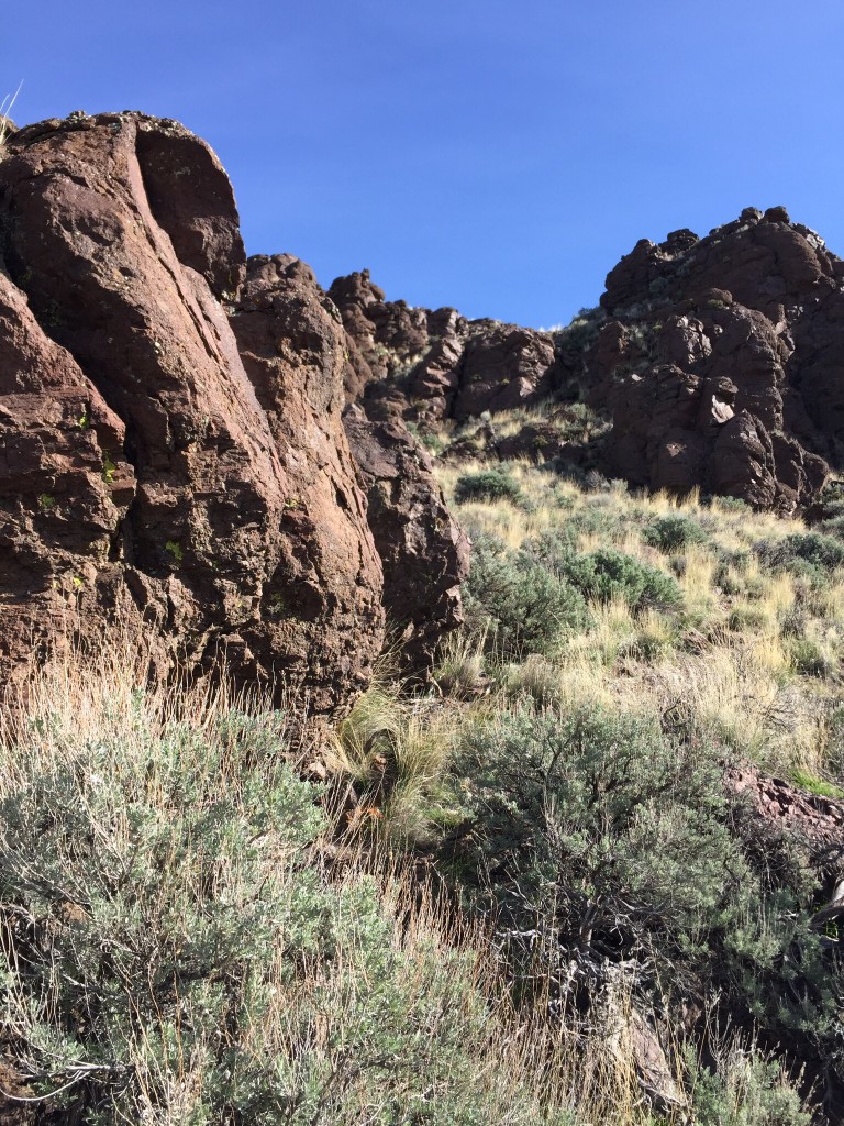
Nearing the top of the rocky point.
Western Access
Just east of Marsing, Idaho, US-93 and ID-55 meet. Drive 13.5 miles south from this junction and turn left/east onto Squaw Creek Road. Please note that this road looks private since a nearby ranch has built an arch over the entrance. Follow the road up and east past Peak 4540 and then down to Squaw Creek. There is a big turn crossing a drainage just before you reach the private ranch. Park at this point.
Western Slopes, Class 2
Follow the road east to the cattle guard and then follow the fence line down to the creek, passing through a gate. Leave the gate as you find it. Once across the creek, a cattle trail follows the fence line up the hill. Stay south of the fence (and remember to stay off the private land). You will reach the peak’s West Ridge, which you can climb over an intervening rocky point or contour into the drainage on your right. Either line will take you to the peak’s broad summit. From the summit, you can walk the broad ridge line to Peak 4620 which has a nice, rugged summit block.
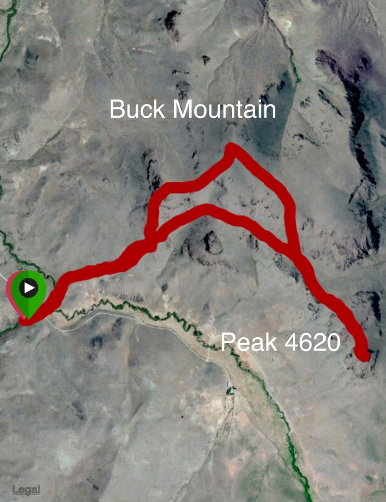
My GPS track for Buck Mountain and Peak 4620.
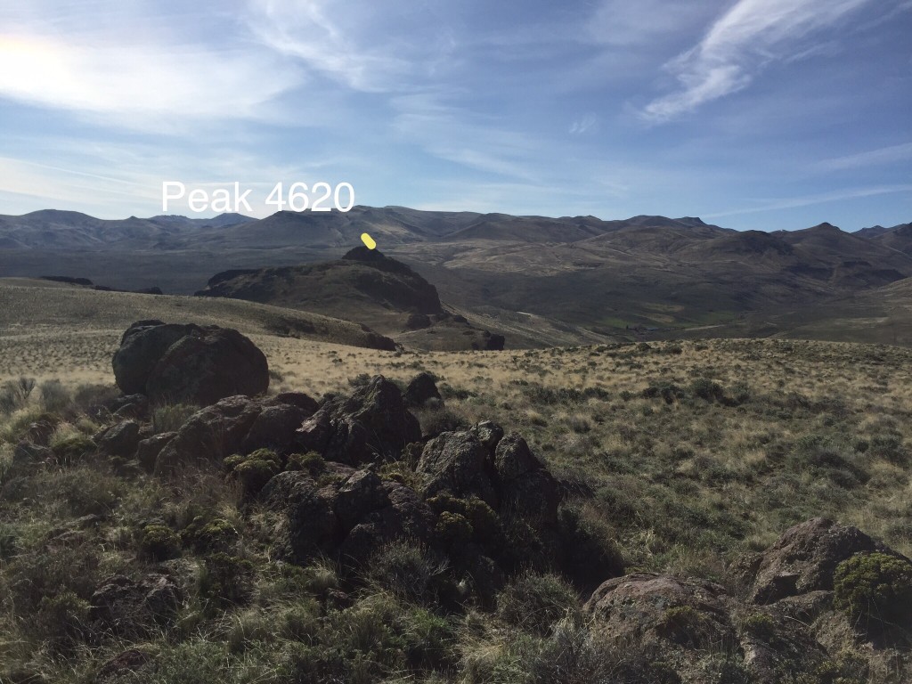
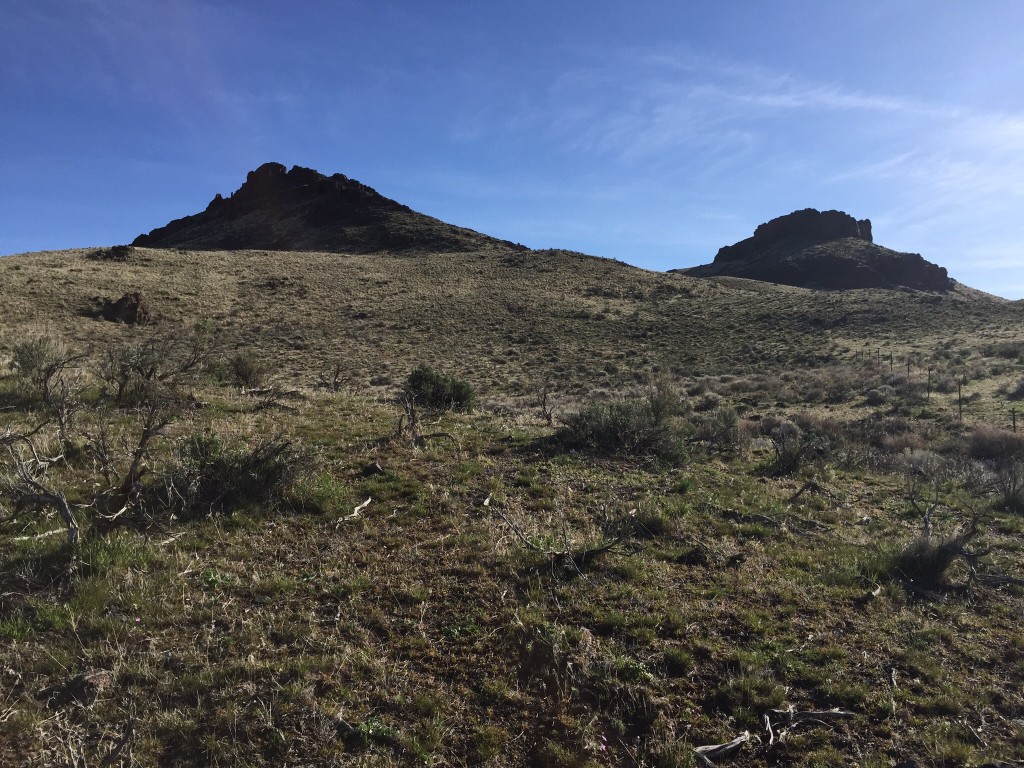
Peak 4620 as viewed from the summit of Buck Mountain with higher Owyhee Mountain terrain rising behind it.
Eastern Access and Route by Jason Floyd
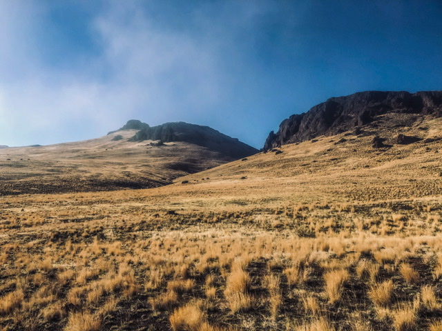
Peak 4620 viewed from the north. Jason Floyd Photo
Access
Peak 4620 and Buck Mountain, Class 3 and Class 2
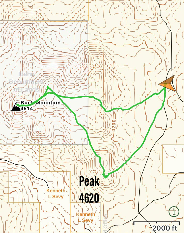
Jason’s GPS track.
Additional Resources