Elevation: 5,498 ft
Prominence: 408
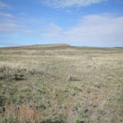
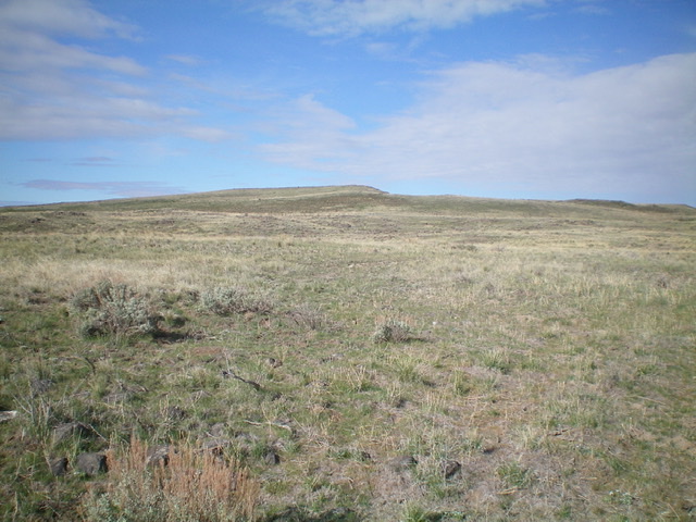
Mosby Butte served as a fire lookout at least as early as 1935 and into the 1950s. A road leads to its summit, making it a good goal for mountain bikers who want to explore this remote area of Power County. The butte is located midway between American Falls and Craters of the Moon National Monument. Google Maps provides good directions for reaching Mosby Butte. USGS Mosby Butte
Access
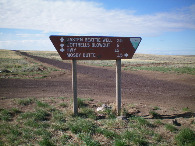
From Exit 93 on I-15 (south of Idaho Falls), drive west on US-26 for 0.2 miles to a signed junction with ID-39. Turn south onto ID-39 and drive 28.2 miles to a signed junction with 1000 South (Grandview Road). Reset your odometer here. Go right/west onto 1000 South. At 2.0 miles, the road surfaces changes from paved to good gravel. At 15.2 miles, reach a 4-way junction. The final 4.4 miles to this junction are on a good, but narrow, dirt road. Park at this junction (5,234 feet on the USGS map) or continue straight/west on an old 2-track jeep road that leads to the summit. A road sign here says “Mosby Butte 1.5 miles” but it is actually about 1-3/4 miles.
East Face, Class 2
The Climb
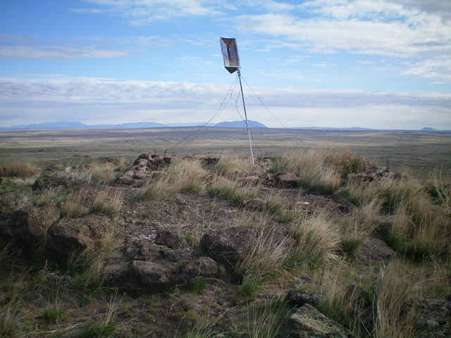
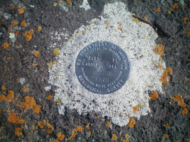
From the 4-way road junction, hike up the old 2-track road to the east face just below the summit. Leave the road and scramble west up through a mix of field grass and lava rock to the summit. The summit has no cairn but has a USGS benchmark and the remnants/foundation of an old fire tower. The old 2-track road is rocky in a few spots and is a bit rutted with a high, grassy median. I don’t recommend driving it unless you have a high-clearance 4WD vehicle with good AT tires.
Additional Resources
