Elevation: 6,485 ft
Prominence: 200

This peak is not in the book. Published November 2024
Butte Crater is located on the east side of Red Road in Fremont County, just east of Split Rock. Its high point is on the north rim of the crater. The very name “Butte Crater” is a contradiction in terms. USGS Split Rock
Access
Same as for North Junipers HP except continue north on Red Road from its signed junction with Grassy Ridge Road. Drive north (then northwest) up Red Road for another 11.9 miles (0.4 miles south of Split Rock) to an unsigned dirt road heading right/east. Park in a pullout at this road junction (6,130 feet; 44⁰14’04”N, 111⁰51’29”W). This is the first leg of a 2-peak adventure that includes Butte Crater and Pine Butte (6,545 feet). It covers 8.9 miles with 750 feet of elevation gain round trip. This area is a mix of private and public land but its sure seemed like it was all public BLM land to me.
Map Errors
There is a good road on the south face of Butte Crater that is not shown on maps. There is another good road that follows a fence row down the east face of Butte Crater to a confluence of major roads. This road is also not shown on maps. The latter road is particularly useful in getting from Butte Crater to Pine Butte to its northeast.
East Face/Crater Rim, Class 2
The Climb
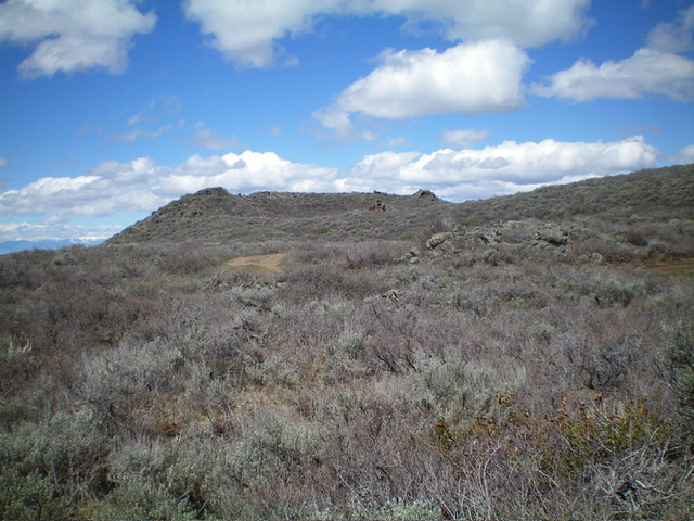
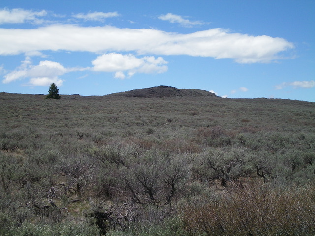
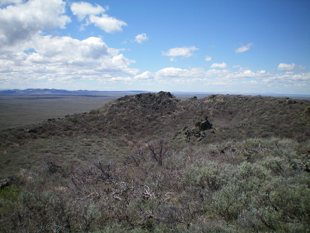
From the road junction, hike east then northeast then north up the BLM road (which is in poor shape with massive mudholes) to a road crest where the road turns right/east and begins to descend. Leave the road here and bushwhack northwest directly at Butte Crater (lots of weaving required) to reach the crater rim. Follow the crater rim northeast then north to the summit area. The high point is a rocky outcrop at the west end of the north rim.

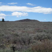
The final southeast approach to the high point of Butte Crater. The summit is just right of center. Livingston Douglas Photo
Traverse to Pine Butte, Class 2
From the summit, return south on the east rim and use a fence row to descend to a high road (not shown on maps) that traverses below the south rim. You will soon find another good road (not shown on maps) that heads east down the right/south side of the fence row all the way to the major road (shown on maps) just below 6,250 feet. This is the low point between Butte Crater and Pine Butte. It concludes the first leg of today’s 2-peak journey. Pine Butte is up next.
Additional Resources
Regions: Saint Anthony Dunes->SNAKE RIVER PLAIN
Mountain Range: Snake River Plain
Longitude: -111.8373 Latitude: 44.2467

