Elevation: 5,781 ft
Prominence: 290

This butte is not in the book. Published November 2024
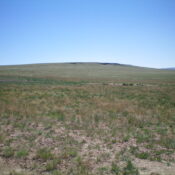
Cedar Butte is a handsome butte that is almost a ranked summit. It sits above John Boyd Flat on the Snake River Plain. It can be climbed entirely on BLM land from the northwest. USGS Cedar Creek Reservoir
Access
From US-93 at Rogerson, drive to the center of Rogerson and [signed] 1520N. This is the [paved] Rogerson-Jarbidge highway. Reset your odometer here. Drive 24.0 miles west on the Rogerson-Jarbidge highway to a signed junction with 17-Mile Road. Turn right/north onto 17-Mile Road (a good gravel road) and drive 7.3 miles to an unsigned junction with a 2-track BLM road that heads hard right/southeast. Reset your odometer here. This 2-track road (and the subsequent one) are consistently rutted and require a high-clearance 4WD vehicle.
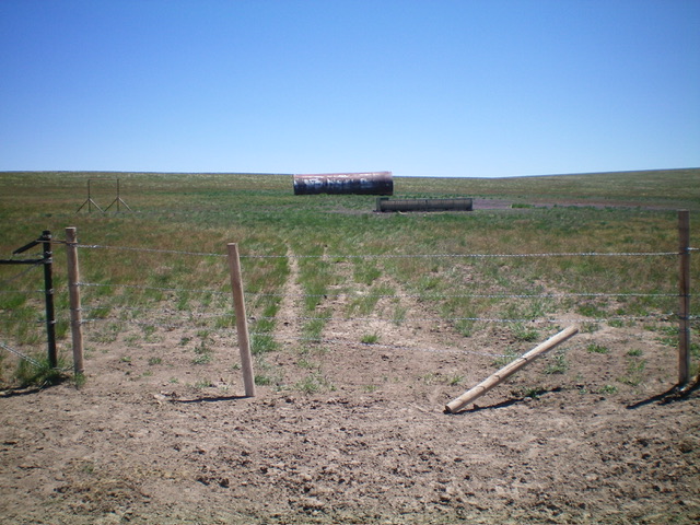
At 0.6 miles, reach an unsigned junction. Go left/east here onto the better of two roads. This eastbound 2-track is not shown on maps. At 0.8 miles, go through a cattle gate. At 2.0 miles, reach the end of the 2-track at a north-south cattle fence and a rusty water tank. Park here (5,440 feet and 42⁰13’50”N, 114⁰56’59”W).
Northwest Face, Class 2
The Climb
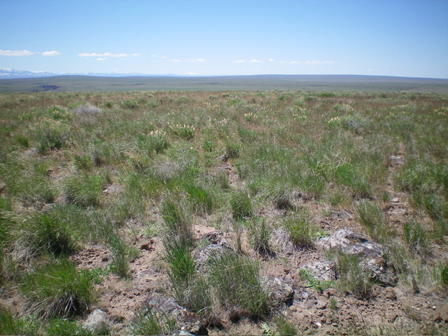
Cross the cattle gate and bushwhack southeast directly at Cedar Butte (which is obvious from here), staying just left/north of rocky outcrops/cliffs on the west face of the butte. The terrain is mostly short grass with some scattered scrub. Easy stuff. I never even put on my gaiters. The summit of Cedar Butte sits well back and is not visible from the start of this climb. It seems like an endless slog to reach the elusive summit on the tilted summit plateau. The high point had no summit cairn. Walk around a bit and stand on several ground boulders to assure yourself that you stood on the highest point.
Additional Resources


