Elevation: 7,307 ft
Prominence: 1,137

This peak is not in the book. Livingston Douglas completely revised this page with detailed access and route information as well as photos. Updated November 2024
Windy Ridge is the high point of the Chesterfield Range. It sits above the headwaters of Sawmill Creek and Grave Creek. Windy Ridge HP towers over Twentyfour Mile Reservoir to its southwest. Windy Ridge is most easily climbed from Cow Camp Road to its southeast. USGS Grizzly Creek

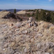
From the summit cairn atop Windy Ridge, this view looks northwest along the range crest (11/3/11). You would almost need a hand level to discern where the high point is located. Rick Baugher Photo
Access
From US-30 east of Lava Hot Springs (at virtual MM378.5), drive up the [paved] Lund Highway to Bancroft. Leave the highway at Bancroft and head north up [paved] Chesterfield Road. The road turns sharply left/west at the east end of Chesterfield to reach the old townsite. There is a signed junction here with Cow Camp Road. Turn right/east onto Cow Camp Road (a well-maintained, gravel/dirt county road) and reset your odometer. At 5.5 miles, reach a sharp right/east bend in the road. This bend is at the base of a steep, unmapped ATV trail that heads left/west up the ridge crest. Park at this road bend (7,120 feet and 42⁰53’38”N, 111⁰49’18”W).
Map Errors
The USGS topo map fails to show the ATV trail heading west up from the road bend onto the crest of the southeast ridge of Windy Ridge.

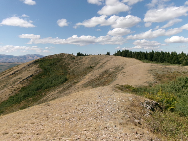
Windy Ridge (dead center) as viewed from the southeast ridge (left of center). This was my ascent route. Livingston Douglas Photo
Southeast Ridge, Class 2
The Climb
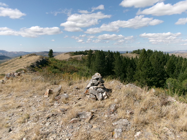
From the road bend, follow an old, rocky 2-track ridge road(now an ATV trail) west then northwest up the ridge crest. The road soon ends and becomes a game/use trail which comes and goes. The ridge terrain is easy, short grass and goes quickly even without a road or trail. However, the ridge ups and downs and tedious and endless. The net elevation gain to the summit is less than 200 feet. However, you must do 1,075 feet of elevation gain round trip to complete this climb. Stay on the ridge crest for the easiest going. The ridge weaves around quite a bit and does a final hard left/southwest bend up a use/game trail to reach the small, rocky summit that perch. The summit had a decent cairn, which I built up a bit.
Additional Resources
Regions: Blackfoot Mountains->Chesterfield Range->SOUTHERN IDAHO
Mountain Range: Blackfoot Mountains
Longitude: -111.85529 Latitude: 42.92039

