Elevation: 6,478 ft
Prominence: 900

This peak is not in the book. Published December 2024
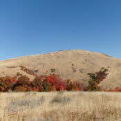
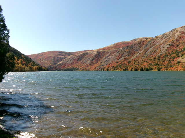
Cleveland Hill is a magnificent hill that oversees the south end of Oneida Narrows Reservoir. Pacificorp owns most of the land surrounding Oneida Narrows Reservoir and allows hiking on their private land. It is unclear if Cleveland Hill is on Pacificorp land or not, but I saw no signage or fencing prohibiting entry. USGS Treasureton
Access
From virtual MM29.0 on ID-34, turn right/east onto Hot Springs Road (signed for “Maple Hot Springs”). After 3.0 miles, the road becomes Oneida Narrows Road at a road fork (go right here) at Maple Hot Springs. You can also reach this junction by driving west from ID-36 at virtual MM12.6 at a signed junction with Maple Grove Road. Drive west on Maple Grove Road for 2.1 miles to this road junction at Maple Hot Springs.
From the signed junction at Maple Hot Springs, continue south on Oneida Narrows Road. At 5.4 miles, reach the Maple Grove Campground. At 6.5 miles, reach a roadside pullout across from a picnic area and boat dock (day use area). At 7.3 miles, reach a large parking area (signed for “Sportsman Access”) on the left/west side of the road with a good footbridge across Bear River. Park here (4,750 feet and 42⁰15’50”N, 111⁰45’09”W).This is the first leg of a 2-peak adventure that includes Cleveland Hill and Rocky Peak (6,471 feet). It covers 7.0 miles with 2,350 feet of elevation gain round trip.
Map Errors
There are numerous 2-track roads on both Cleveland Hill and Rocky Peak that are not shown on the USGS topo map or the Caribou-Targhee National Forest Map.
South Ridge, Class 2
The Climb
From the parking area, follow an excellent hiking trail across a footbridge over the Bear River. Once across the footbridge, leave the well-beaten trail (an old road) and scramble west up a steep slope of grass/scrub and loose scree/gravel. Quickly reach a grassy, open ridge heading right/northwest. Work through a patch of maples (gapped a bit with grassy lanes mixed in) to reach open grass higher up. Head northwest then north up to Point 6031. From Point 6031, hike northwest then north on a 2-track road (briefly) to curl around the top of a massive gully and reach the grassy south ridge of Cleveland Hill.
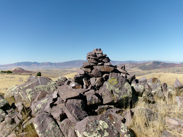
The 2-track road passes briefly through a patch of maples at the head of the gully. This road is not shown on maps. It heads northwest then west to God-Knows-Where. Leave the 2-track road after it emerges from the maples and bends left-ish/northwest. Scramble northeast up easy, open field grass to the rocky summit of Cleveland Hill. There is a section of ground boulders (with grass mixed in) high up on the south ridge. The summit has a large cairn in the rocky outcrop that is the obvious high point.
Traverse to Rocky Peak, Class 2
From the summit, descend the south ridge and return to the 2-track road. Follow this ridge road as it skirts the west side of Point 6031. Go right/southwest at an unsigned junction onto a newly-bulldozed 2-track road. Continue a short distance farther on the 2-track as it heads uphill. Leave the newly-bulldozed 2-track where the road crests. From here scramble south and quickly pick up a weak 2-track that heads up a sagebrush drainage.
Follow this road south up over a small ridge then southeast to reach the powerlines. The road descends to cross under the powerlines. Soon after this crossing, the road reaches an unsigned junction at about 6,040 feet. This junction is the low point in the traverse between Cleveland Hill and Rocky Peak. It concludes the first leg of today’s 2-peak journey. Rocky Peak (6,471 feet) is up next.
Additional Resources
Regions: Portneuf Range->SOUTHERN IDAHO
Mountain Range: Portneuf Range
Longitude: -111.7624 Latitude: 42.2849


