Elevation: 9,178 ft
Prominence: 1,878

This peak is not in the book. Updated October 2025
Cold Benchmark is the high point on a lengthy ridge that separates Dry Fork Creek from Cold Spring Canyon in the Pioneer Mountains. It is most easily climbed from Leadbelt Creek Road to its northwest. An old mining road leads up to its north ridge. Cold Benchmark has a whopping 1,878 feet of prominence and, consequently, is a worthy climbing objective. USGS Blizzard Mountain North

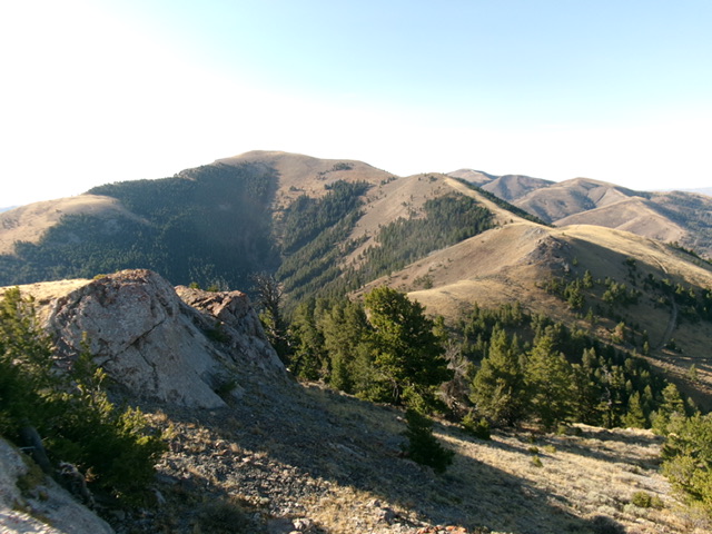
Cold Benchmark as viewed from the north. The summit is left of center. The north ridge (my ascent route) is right of center. Livingston Douglas Photo
Access
Same as for Peak 8621 (Thimble Peak). This is the third leg of a 3-peak adventure that includes Peak 8621, Peak 8729, and Cold Benchmark (9,178 feet). It covers 8.0 miles with 3,250 feet of elevation gain round trip.
North Ridge, Class 1
The Climb
From the 8,420-foot connecting saddle with Peak 8729, follow a 2-track ridge road south then southeast to the summit. The rocky road gets quite steep in two sections with loose scree/gravel in the road bed. It crosses a ridge hump midway up and drops 35 vertical feet to a minor saddle. Contrary to the USGS topo map, the 2-track goes all the way to the summit. There was a large, torn-down cairn near the high point so I built a new cairn on the nearby high point.

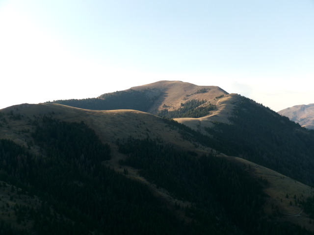
Cold Benchmark (summit is in dead center) and its curving north ridge (coming at the camera). Livingston Douglas Photo
North Ridge/West Face, Class 2
The Descent
From the summit, return northwest then north on the 2-track road to the 8,420-foot connecting saddle. From the saddle, bushwhack west down through a steep pine forest to reach a jeep road that heads right/north to the road junction where today’s journey began. The forest bushwhack is easy initially but gets thicker with more blowdown and much more understory lower down. The terrain is a mix of face, minor gullies, and minor shoulders, but it goes quickly. Once on the jeep road, follow it north for about ½ mile back to the road junction and your parked vehicle.
Additional Resources
Regions: EASTERN IDAHO->Pioneer Mountains
Mountain Range: Pioneer Mountains
Longitude: -113.6537 Latitude: 43.5763

