Elevation: 3,051 ft
Prominence: 176

This peak is not in the book. Livingston Douglas added two photos to the initial page. Updated November 2022
Coyote Butte is a minor volcanic cone located roughly 3.5 miles south of Initial Point and west of the Swan Falls Dam Road. I hesitate to include it since it has only 176 feet of prominence and the various roads leading to it from the paved Swan Falls Dam Road are deeply rutted. Also, you will often be potentially in the line of fire, as every time I have visited this area there were several groups of people shooting into the void. I hiked up to the summit from the road on its South Side but it can be reached from all directions with no difficulty other than the drive in. USGS Coyote Butte
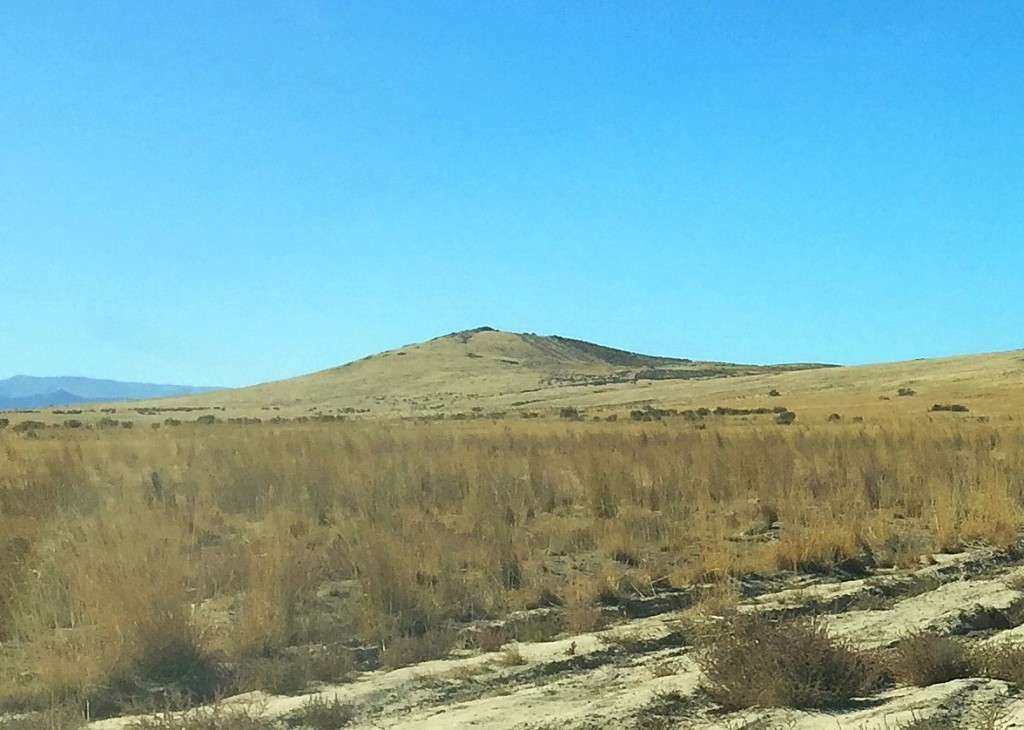
Coyote Butte as viewed from the east.
As an aside, there are 7 officially-named features in Idaho with the name “Coyote”: four Coyote Buttes in Idaho, two Coyote ridges and one Coyote Rock. Not one of these features has 300 feet of prominence.
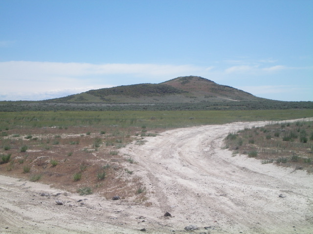
Coyote Butte as viewed from the road junction to its west-northwest (start of hike) Livingston Douglas Photo
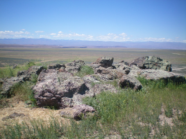
The summit boulders atop Coyote Butte. Livingston Douglas Photo
Additional Resources
Regions: SNAKE RIVER PLAIN
Mountain Range: Snake River Plain
Year Climbed: 2015
Longitude: -116.37119 Latitude: 43.32569