Elevation: 2,999 ft
Prominence: 87

This butte is not in the book. Published November 2024
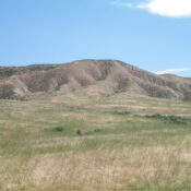
Crabb Butte (i.e., Bruneau Benchmark) is a handsome butte with a steep southwest face. It is located east of Bruneau and sits above the Bruneau Cemetery on BLM land. Crabb Butte is most easily climbed from the Bruneau Cemetery. USGS Bruneau
Access
From ID-78 in the center of the small hamlet of Bruneau, drive southeast on [signed] Hot Springs Road for about 50 yards to a signed junction with [paved] Bruneau Cemetery Road. Turn left/northeast onto Bruneau Cemetery Road and drive 0.7 miles to the cemetery and park at the upper end of the large parking area at the cemetery (2,715 feet and 42⁰53’08”N, 115⁰46’59”W).
This climb is almost entirely on BLM land. There is a short patch of unposted, unfenced private land (probably owned by the municipality of Bruneau) between the cemetery and the nearby BLM land. There is no signage to prohibit access here.
West Shoulder, Class 2
The Climb
From the northeast corner of the Bruneau Cemetery parking area, bushwhack east-northeast directly at a prominent open shoulder that leads up to the summit plateau (top of the butte). Cross one or two dry gullies early on, in reasonable grass/scrub, to reach the toe of the shoulder. Climb the easy grass/scrub on the shoulder (using an unofficial foot/MC trail) to reach the flat top of the butte. The shoulder narrows and steepens as you gain altitude.
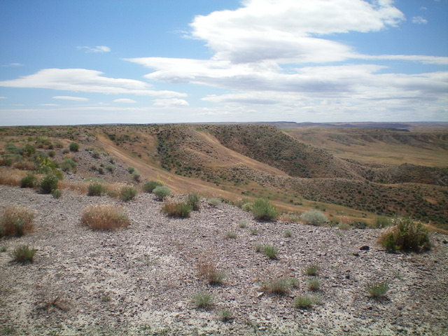
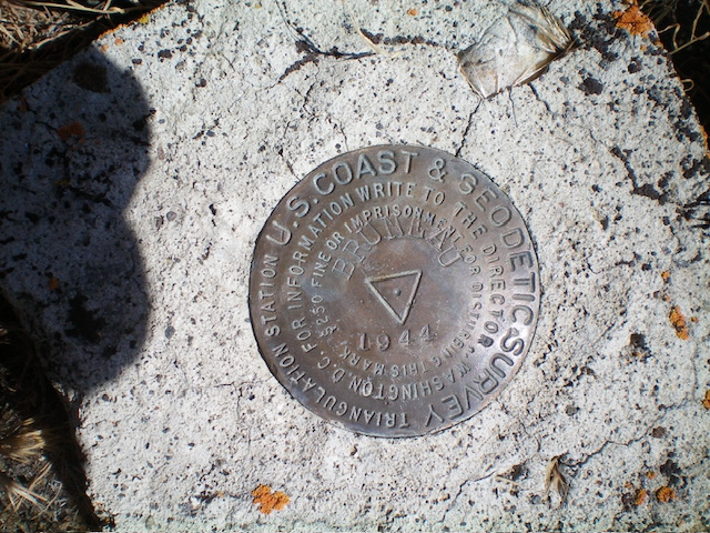
Once on the summit plateau, bushwhack east then southeast for several minutes to reach the high point. This bushwhack is a bit tedious and is a mix of ground rock and sagebrush. Look for the Bruneau Benchmark. It is still there, hiding in the sagebrush on a ground boulder. The benchmark is a good 100 feet from the cliff face, not next to the cliff face as the USGS topo map suggests. The benchmark seems to be the high point of Crabb Butte.

The summit of Crabb Butte (mid-ground in center) as viewed from the top of the west shoulder. Livingston Douglas Photo

The Bruneau Benchmark atop Crabb Butte. It is hiding in the grass/sagebrush. Livingston Douglas Photo
Additional Resources
