Elevation: 6,806 ft
Prominence: 1,146
This peak is not in the book.
Davis Mountain is the highest point in the central section of the Bennett Mountain Hills. The summit is accessed via the Davis Mountain Road. This rugged 4WD road passes just west of the summit. A spur road can be followed east to the electronic installation near the high point. USGS Davis Mountain
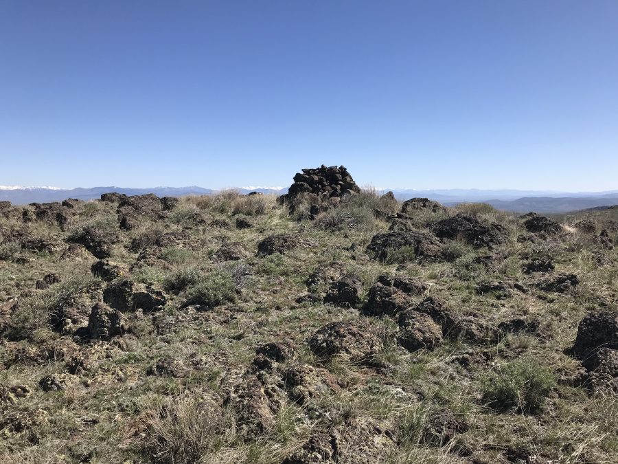
Davis Mountain as viewed from East Twin Peak.
Access
The Davis Mountain Road runs for 21.0 tortuous miles between the Gooding City of Rocks Road in the east and the Monument Gulch Road in the west. It crosses rocky terrain as weaves in and out of drainages on the southern slopes of the central section’s major peaks and passes just west of the summit of Davis Mountain. The eastern end of the road is in fairly good condition until it reaches the East Fork Clover Creek just south of West Twin Peak. From this point, the road deteriorates significantly. In places, it is deeply rutted and rocks present many difficult obstacles. The road is better suited for ATVs in spots. If you start at the west end, it is 8.0 miles to the spur road. If you start at the east end, it is 13.0 miles to the spur road.
More access information is found on the Bennett Mountains Hills page.
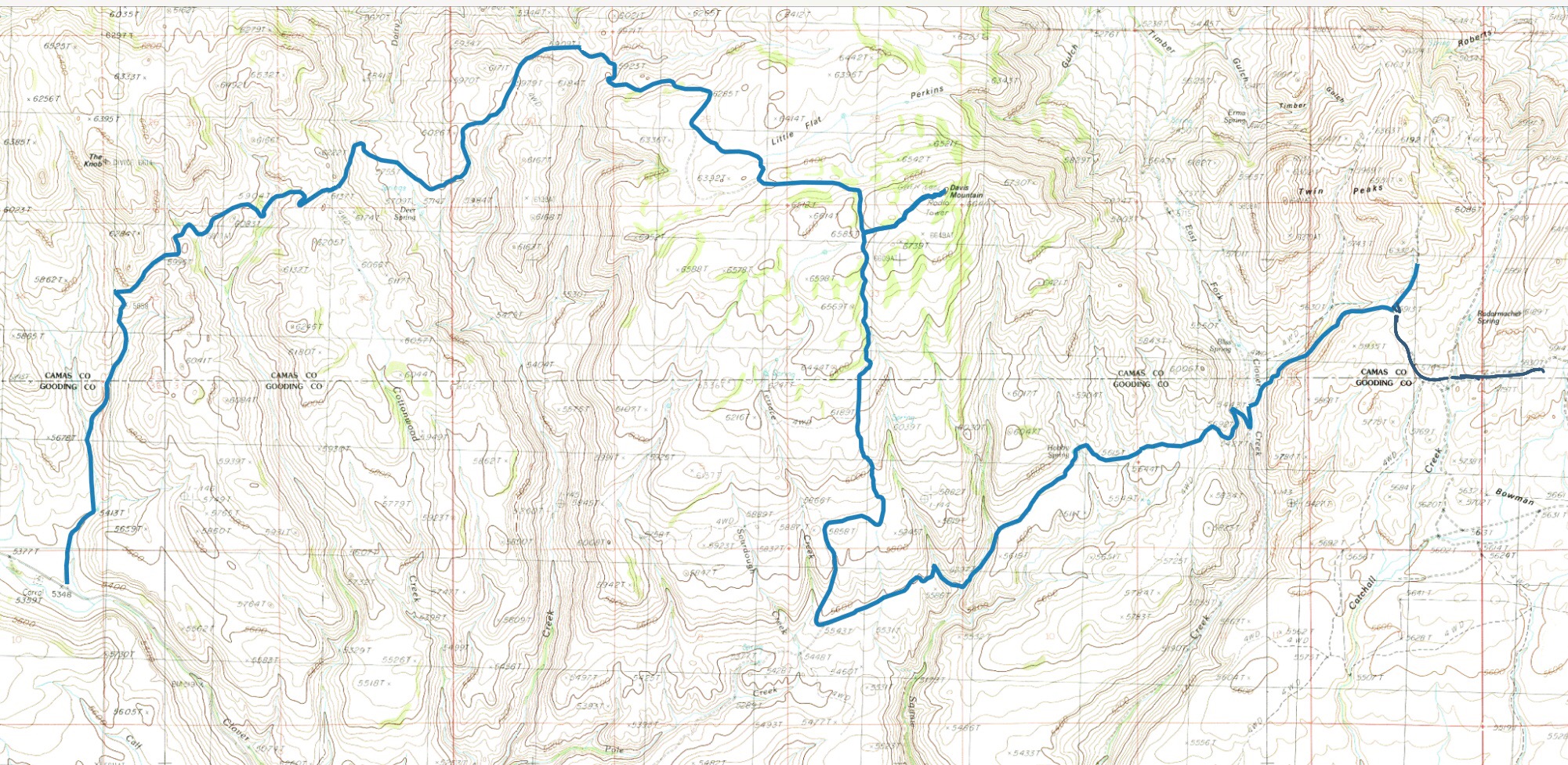
A GPS track for the Davis Mountain Road. This road requires a 4WD with skid plates, all terrain tires and a driver with a lot of patience between the East Fork Clover Creek in the east and the Knob in the west. Beware: it is a challenging road.
Spur Road, Class 1+
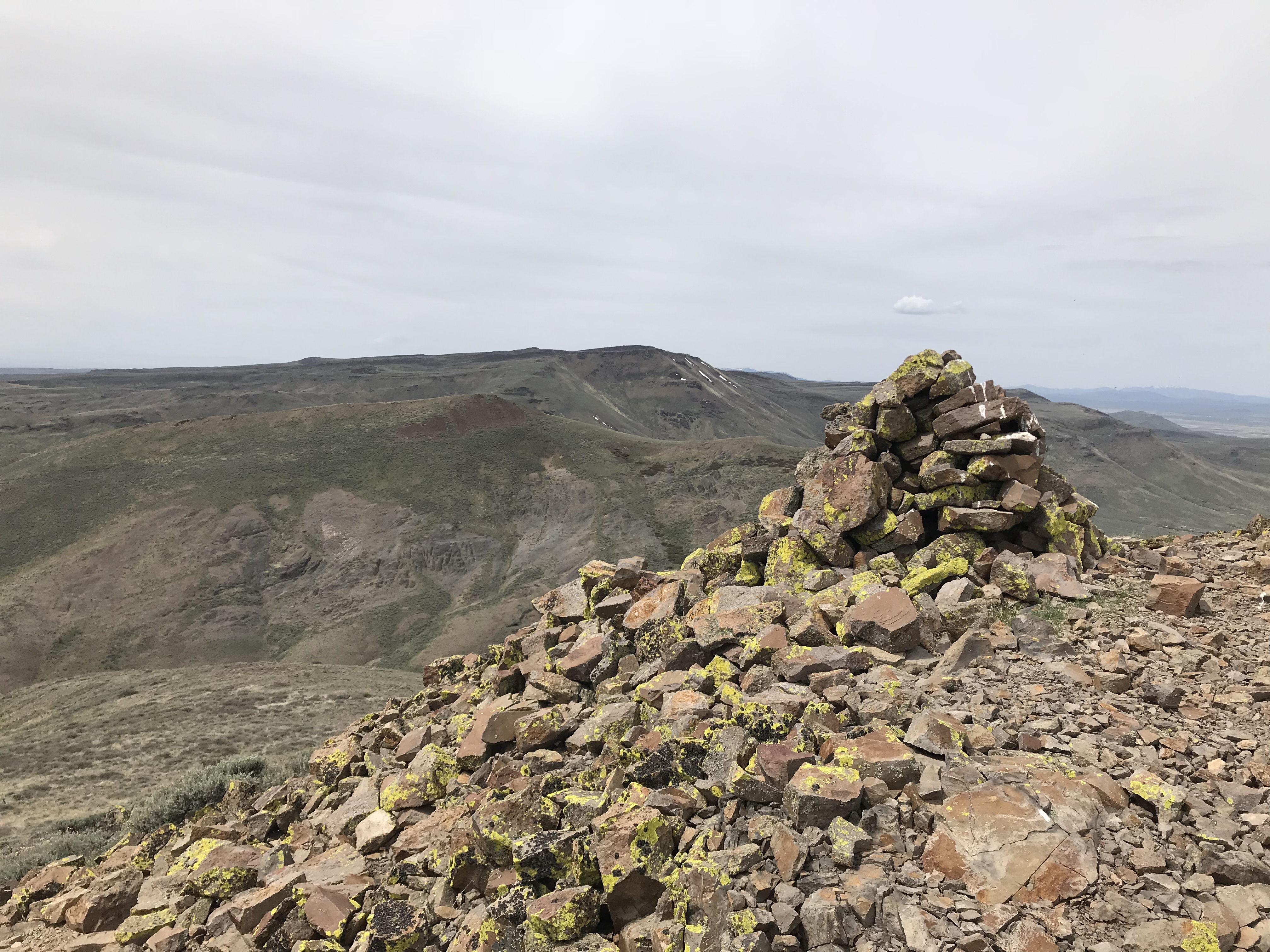
The spur road is nearly level but is extremely rocky. Once you get to the electronic installation, it is another 100 feet to the large cairn and the benchmark that sit on the summit. This may be the toughest Class 1 route in Idaho because the Davis Mountain Road is brutal.

The summit cairn atop Davis Mountain.
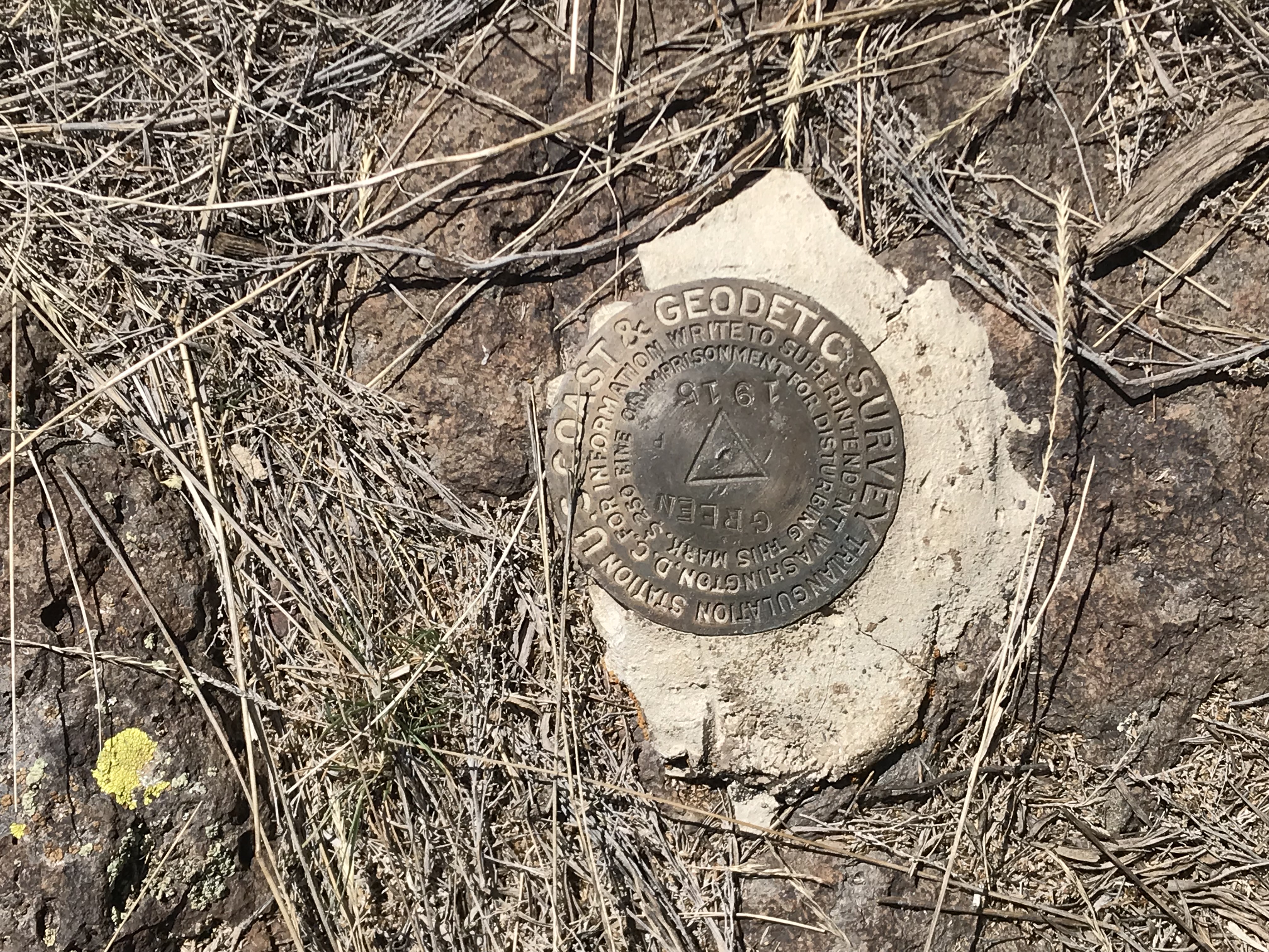
The summit benchmark.
Additional Resources
Regions: Bennett Mountain Hills->WESTERN IDAHO
Mountain Range: Bennett Mountain Hills
Year Climbed: 2018
Longitude: -114.91249 Latitude: 43.21379