Elevation: 4,850 ft
Prominence: 230

This peak is not in the book. Published November 2023
Eagles Nest is a rocky crag located above the confluence of Pine Creek and the Salmon River. It is most easily climbed from its north or northeast sides but the approach could be problematic. The south and west sides of Eagles Nest are rocky and very steep. Extreme caution is advised in those areas. USGS Pine Creek Rapids
Access
From US-93 at North Fork, drive west on FSR-030/Salmon River Road for 19.4 miles to a signed junction with FSR-032/Pine Creek Road, just after crossing to the south side of the Salmon River on a solid bridge. Park in a roadside pullout alongside the Salmon River just southwest of the bridge and the road junction. Pine Creek Road was destroyed by a torrential thunderstorm in mid-August 2023 so the road is closed. The roadside pullout is at 3,355 feet and 45⁰21’48”N, 114⁰18’02”W.
Southwest Rib/West Ridge, Class 3
The Climb
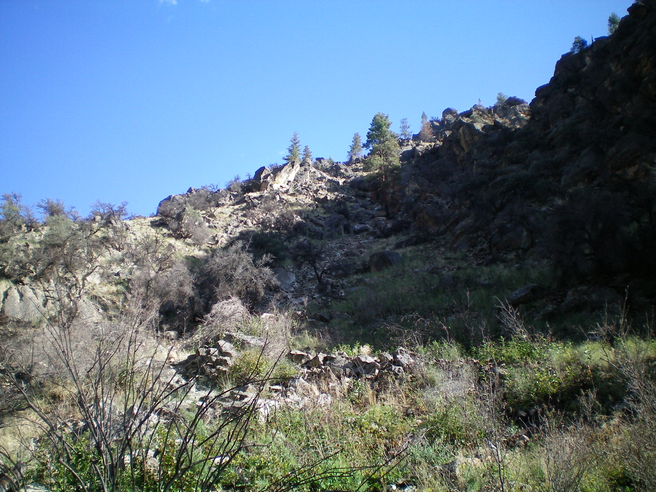
From the road junction, hike southeast up the remnants of Pine Creek Road to reach an area where the is completely washed away and Pine Creek has taken over. Bushwhack left/north up onto a steep slope and find a use trail that follows Pine Creek southeast until the road reappears. Descend back to the road and follow it southeast for a short distance to find a wide gully with a ridge on its left/west side. This is the first gully in the Pine Creek drainage that looks climbable up to the west ridge of Eagles Nest.
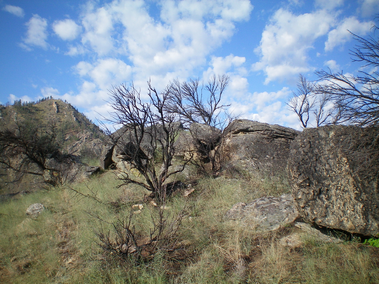
Leave the road here and scramble up steep-ish scree/gravel and boulders, quickly moving left/west onto a rib for better footing. This rib leads up to a high ridge at a minor notch. Follow this higher ridge right/east-northeast until it merges into the west ridge. Follow the rocky west ridge to the small, open summit. The west ridge is Class 3 with a few ridge buttresses/blocks to skirt. Early on, move slightly off the ridge crest to its right/south side to make progress.
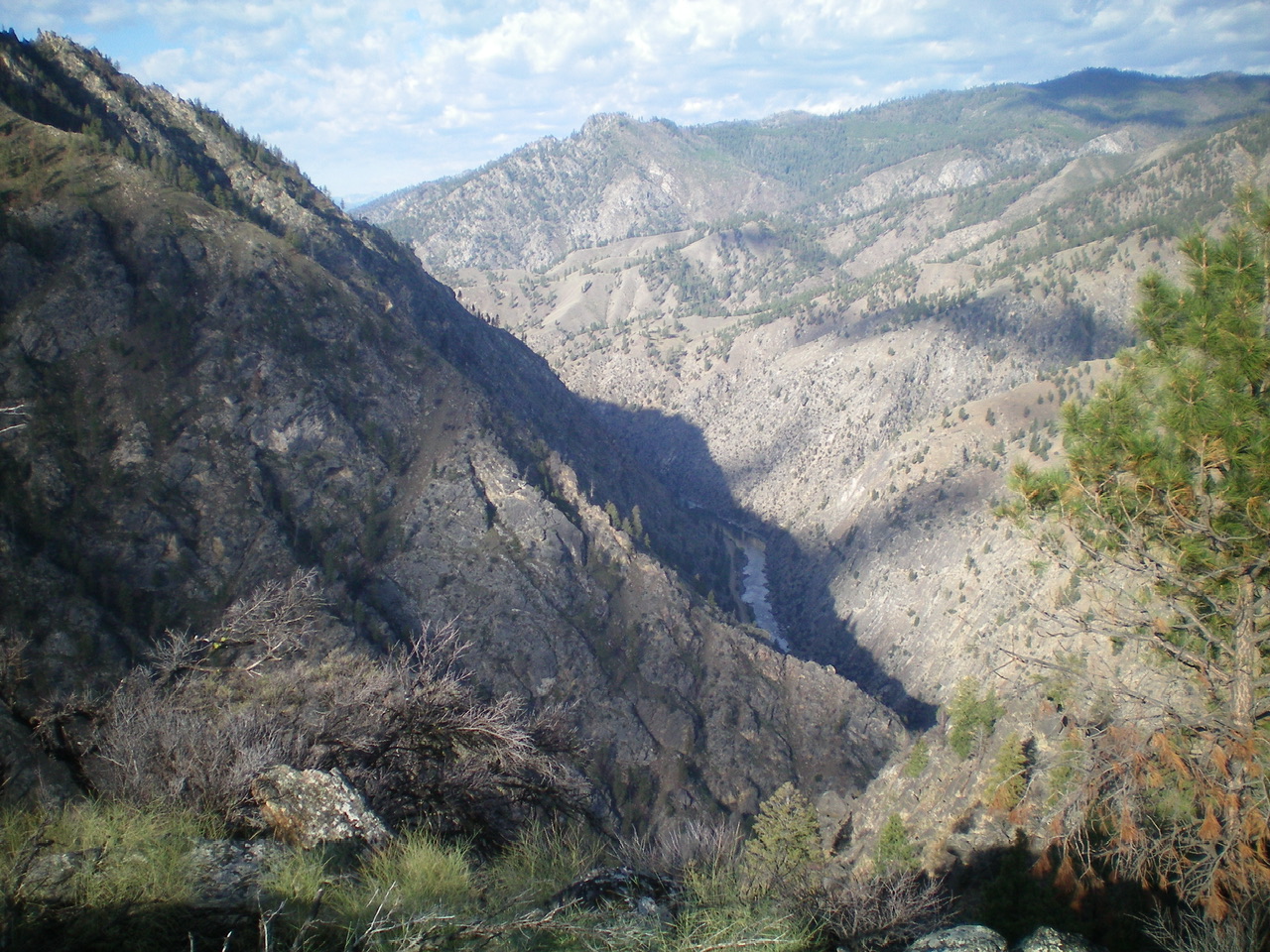
Higher up, the ridge blocks are larger and should be skirted on their left/north side, moving well under the ridge crest on angled, loose dirt/scree with veg/grass mixed in. The final upper section of the west ridge is easy but still requires two or three Class 3 moves up through slots in the steep ridge rock. The small summit is a collection of large boulders. It showed no signs of previous ascent. The northeast side of the summit perch is surprisingly grassy and gentle. What a contrast to the west ridge! The summit offers amazing views of the Salmon River Valley well below.
It is stunning to see the massive multi-ton boulders and full-sized pine trees that were pushed around like pebbles/twigs by the rushing water coming down the sides of this narrow canyon during the wicked thunderstorm. This wasn’t a 100-year storm. It was epic. It was Biblical in proportion. The only thing I can compare it to is the damage from a large avalanche. This storm also did serious damage to nearby Salmon River Road and Panther Creek Road, both of which have been subsequently repaired by the use of heavy, earth-moving equipment. The caretaker at the Girl Scout Camp farther up Pine Creek Road was stranded by the storm and had to be rescued by the National Forest Service.
Additional Resources
Mountain Range: Eastern Salmon River Mountains
First Ascent Information:
- First Ascent Year: 2023
- Season: Summer
- Route: Southwest Rib/West Ridge
- Party: Livingston Douglas
Longitude: -114.2883 Latitude: 45.3624


