Elevation: 4,901 ft
Prominence: 201

This peak is not in the book.
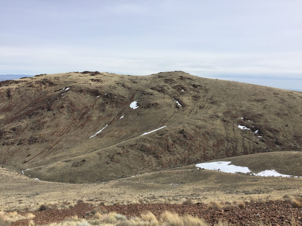
Federal Butte sits southwest of Murphy, Idaho. The peak juts out from the higher peaks to the south, giving it a nice 360-degree view, which encompasses a huge swath of southwestern Idaho. This peak is Class 2 from almost any direction. USGS Murphy
Access
The peak can be approached from Murphy and ID-78 via the Silver City Road which leads past the peak’s steeper east side or from Moores Creek on its west side. I climbed the peak from Moores Creek.
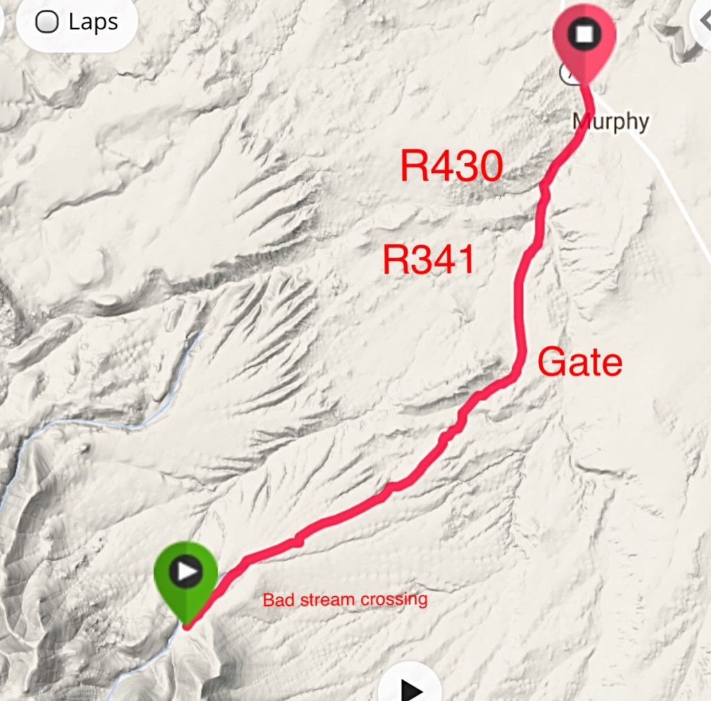
Turn off ID-78 onto Old Highway 45 and follow this paved road south for 1.0 mile. Then turn left onto BLM Road #R430 and follow it for 1.5 miles. Finally, turn right onto BLM Road #R341 and follow this road for 2.8 miles to a fence line. Just before reaching the fence, the road crosses a small drainage that will have water in it during the Spring. The road makes a hard right after it goes through the fence and then leads south up Moores Creek. The road eventually crosses Moores Creek. You will need a 4WD to get through this rough crossing.
We drove another 1.3 miles up this road and parked at roughly 4,000 feet. You can drive to the next drainage but there is not much room to turn around. See my GPS track below for the road approach.
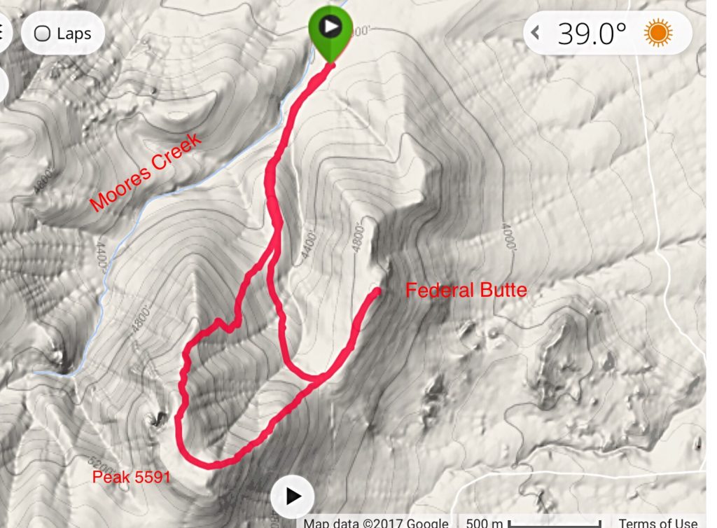
Once you are on the west side of the peak, you can ascend any place that you like. We followed the drainage that runs up to the pass between Federal Butte and Peak 5591. Then we ascended the broad South Ridge to the summit. We reached the summit in 1.4 mikes with 900 feet of elevation gain.
Additional Resources
Regions: Owyhee Mountains->SOUTHERN IDAHO
Mountain Range: Owyhee Mountains
Year Climbed: 2017
Longitude: -116.62301 Latitude: 43.14019


