Elevation: 2,839 ft
Prominence: 295

This butte is not in the book. Published November 2024
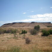
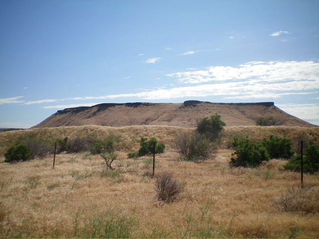
Formerly a ranked summit, Flatiron Butte is a handsome butte with steep sides. It is located on the south side of the Snake River, just east of the Bruneau Duck Ponds and just north of ID-78. Much of the butte is on unposted, private land. However, it can be approached from the west on BLM land. USGS Bruneau Dunes
Access
There is a good gravel road coming up from ID-78 to the west side of Flatiron Butte. Unfortunately, it is on private land and is blocked by a private ranch near the highway. However, there is an alternative way to get close to the west side of Flatiron Butteon BLM roads. Here it is.
Leave ID-78 at virtual MM82.9 at a road junction that is signed for “Bruneau Duck Ponds.” This junction is 0.6 miles east of the turnoff for Bruneau Dunes State Park and 2.4 miles east of the ID-51/ID-78 junction. The poorly-maintained, 2-track road heads north then northeast on BLM land, close to a fence row that separates BLM land from private ranch land. Reset your odometer at this road junction along ID-78.
At 0.4 miles, go right at an unsigned junction. At 0.5 miles, go right at a signed junction (“public access” sign). At 0.8 miles, go left at a road fork. At 1.4 miles, park alongside the road (or continue a little farther to a large parking area down near the Snake River). My parking pullout is at 2,500 feet and 42⁰56’05”N, 115⁰41’15”W.
West Face, Class 2
The Climb
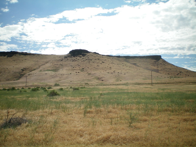
From the improvised roadside pullout, hike briefly north down the 2-track road to get past a fence corner and the north end of irrigated ranch land. Drop to cross a dry gully and bushwhack east across easy grass/scrub. Cross a gravel road to reach the base of the west face, just left/north of a prominent shoulder/rib. Cross a dilapidated BLM cattle fence and scramble up a mix of grass and underlying talus/boulders to reach the summit plateau.
Turn right/south and cruise across easy, short grass/scrub to the high point at the south end. Stand on several different ground boulders to be sure that you caught the high point. The summit offers magnificent views of the nearby Snake River and the valley floor. The upper west face and entire summit plateau is on private land but there is no fencing or signage to prohibit entry. Be sure to stay left/north of a fence row (and irrigated ranch land) to stay out of trouble.

The west face of Flatiron Butte. Climb up the steep grass/boulder/talus slope just left of the rocky buttress in the center of the photo. This was my ascent route. Livingston Douglas Photo

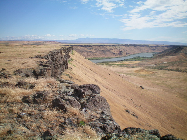
Looking northeast from the summit of Flatiron Butte at the Snake River. The east face is the steep slope in the center of the photo. Livingston Douglas Photo
Additional Resources
