Elevation: 7,468 ft
Prominence: 318

This peak is not in the book. Published November 2024
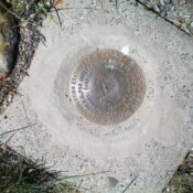
Gilmore Benchmark is located along ID-28 just north of Gilmore. It is a rather insignificant scrub hump along the highway. But it is a ranked summit and is an easy Beaverhead foothill to conquer. USGS Powderhorn Gulch

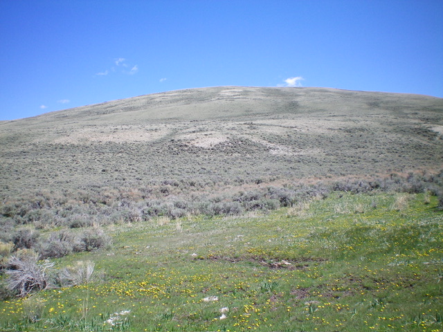
Gilmore Benchmark as seen from a grassy patch along an old 2-track to its southwest. This is early in the climb. Livingston Douglas Photo
Access
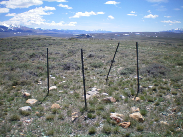
Park at an unsigned junction with a weak 2-track road along ID-29 at virtual MM76.3. This 2-track begins at a cattle gate and a fence row. Park just off the highway at the fence gate in a grassy pullout area. The parking area is at 6,735 feet and 44⁰29’48”N, 113⁰15’56”W.
Southwest Face, Class 2
The Climb
From the cattle gate, hike briefly east up the old 2-track road to a green, grassy patch where it is easy to cross the gully (with no drop) to reach the base of the southwest face. Leave the 2-track road and bushwhack northeast through some tall, thick sagebrush to quickly reach much shorter, easier sagebrush and a shoulder of sorts. Aim for the highest hump in the center of the massif. Work up through short, easy scrub with a few patches of thicker sagebrush in the minor gullies.
Reach the ridge crest on a gentle hump and follow an old 2-track ridge road (shown on the USGS topo map) heading right/southeast down to a minor saddle. From the saddle, scramble southeast to the highest hump and the Gilmore Benchmark. The summit ridge is deceiving when viewed from ID-28. The center of it appears to be the high point, but it is not. The benchmark hump sits back and is not visible from the highway.
I descended a more direct route back to the fence gate and the highway but had more patches of thick scrub and a lot of diagonal face crossing instead of direct uphill/downhill. A shorter route, perhaps, but not as much fun as the ascent route.
Additional Resources
Regions: Beaverhead Range->EASTERN IDAHO
Mountain Range: Beaverhead Range
Longitude: -113.25055 Latitude: 44.50391

