Elevation: 9,420 ft
Prominence: 120
Climbing and access information for this formation is on Page 175 of the book.
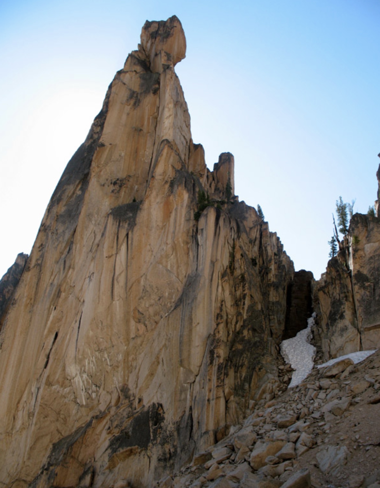
To read more about the history of Grand Aiguille, see Ray Brooks’ article: Fred, Pete and Jack’s Big Sawtooth Adventure. USGS Mount Cramer
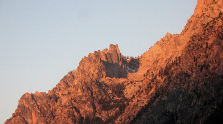
Early-morning alpenglow on the Grand Aiguille at center of photo. Ray Brooks Photo
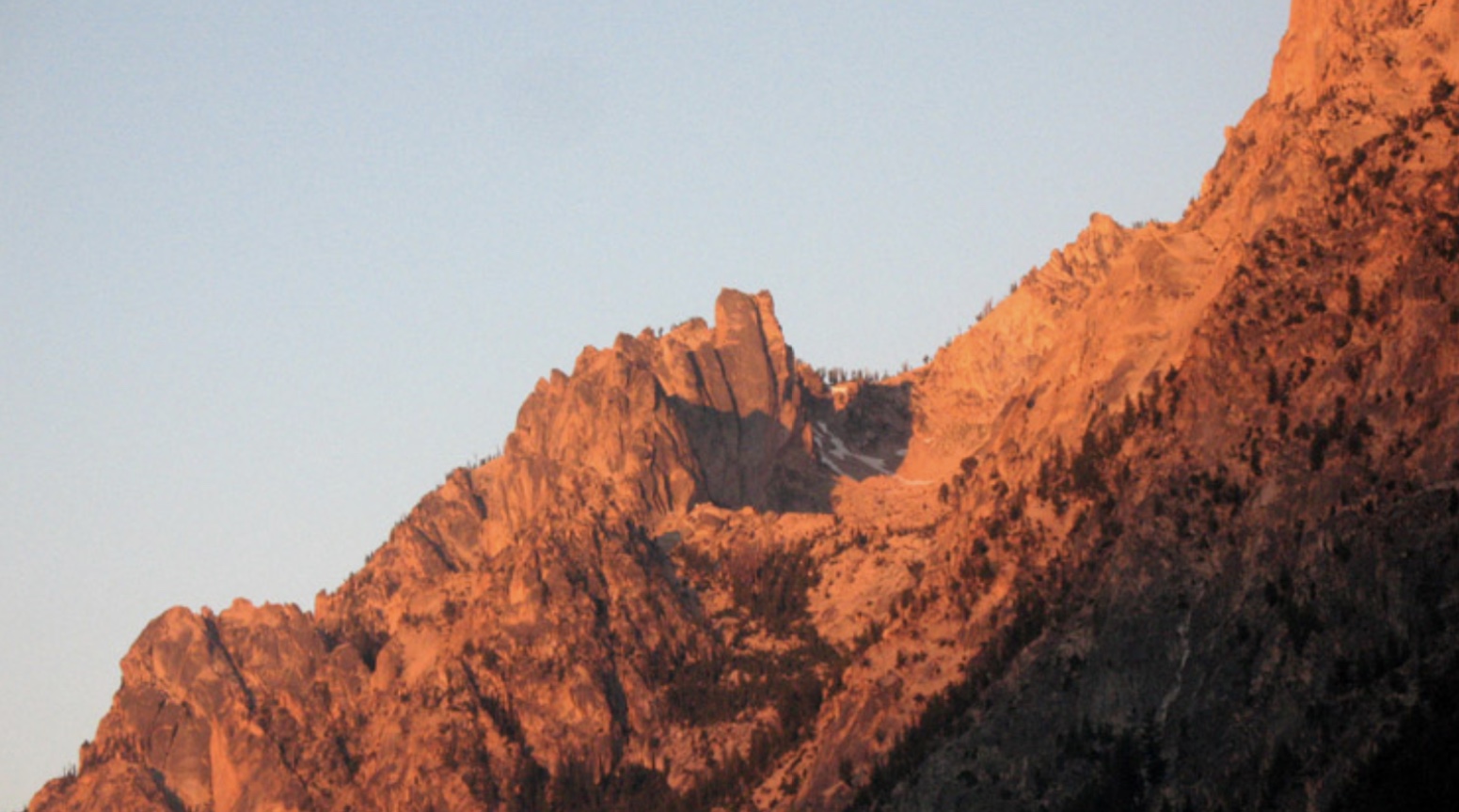
The Northeast Side of Grand Aiguille. The route goes up the snowy gully to the ridge, then apparently follows the ridge until it goes out of sight to the right. Ray Brooks Photo
Additional Resources
Regions: Heyburn Divide->Sawtooth Range->WESTERN IDAHO
Mountain Range: Sawtooth Range
Longitude: 114.98501 Latitude: 44.09059