Elevation: 6,315 ft
Prominence: 305
Livingston Douglas added additional route information which can be found down the page. Updated December 2019
Grassy Cone is Peak #1 of the Craters 10-Pack
This small, nondescript butte sits just north of US-20 just west of the main entrance to Craters of the Moon National Monument. This small peak shelters an interesting crater on its North Side and is a great place to view the volcanic terrain south of the highway. There is a large pullout on the south side of the highway. An ascent to the summit from this point is a short, but steep, 0.5 mile hike through sagebrush. Please take care of this pristine environment and watch out for rattlesnakes. USGS Inferno Cone
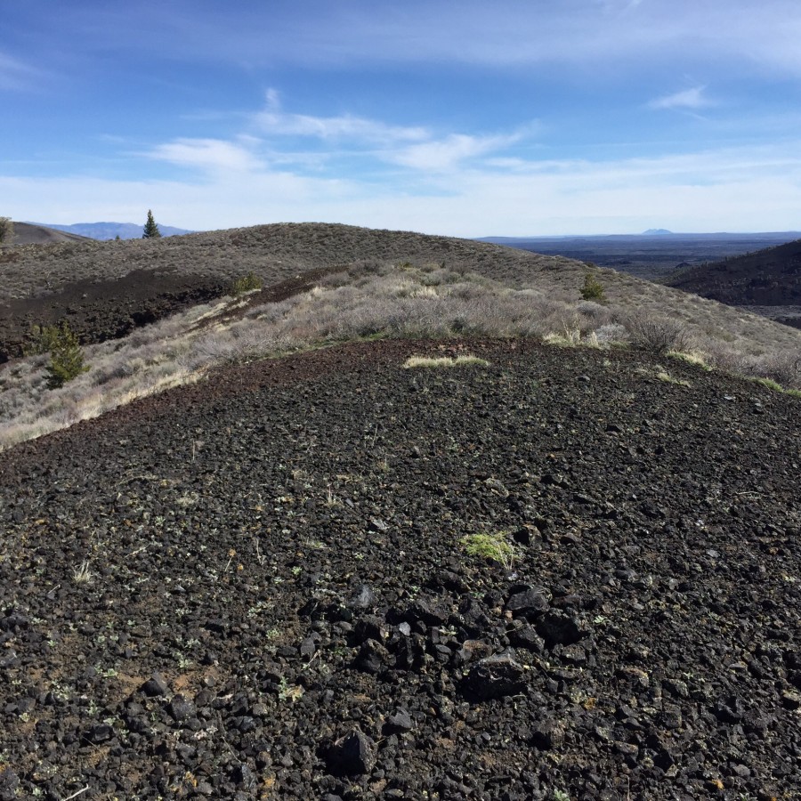
The summit of Grassy Cone
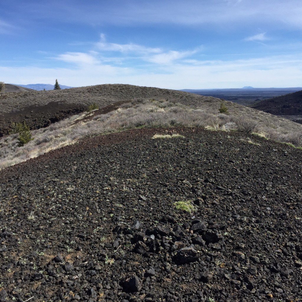
Grassy Cone’s crater
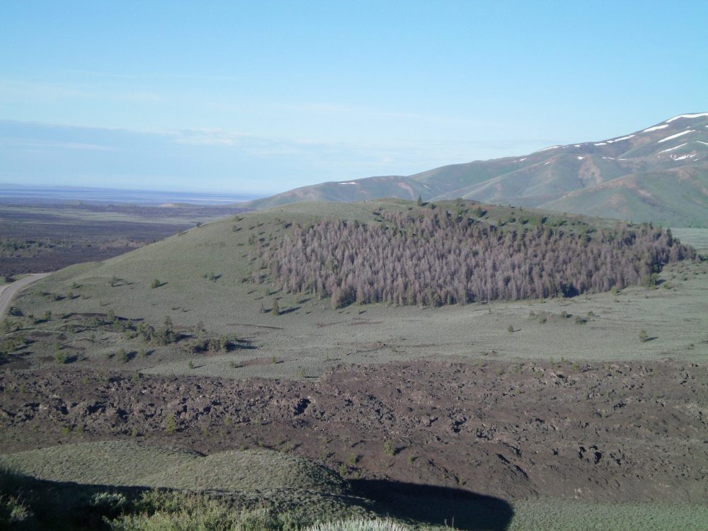
Grassy Cone as viewed from the summit of Sunset Cone. US-20 is on the left edge of the photo. Livingston Douglas Photo
Southeast Face and South Face Routes by Livingston Douglas
Grassy Cone is hardly grassy. It’s mostly thick sagebrush and is not a pleasant climb from US-20 to the southeast. It has a hidden forest on its north face that is not visible from the highway. The summit appears to be rarely visited. Not even a summit cairn, until I built one on top. The east summit is the high point (6,315 feet). The west summit is 15 feet lower, based on visuals and altimeter measurements.
Southeast Face, Class 2
Access
From the entrance to Craters of the Moon National Monument, drive 0.8 miles west on US-20 to the [higher] second pullout on the south side of the highway. The elevation here is about 6,000 feet.
The Climb
From the large parking pullout along US-20, cross to the north side of the highway and bash your way up a steep hillside of thick sagebrush and prickly bushes to the summit area (east summit). The east summit is a mix of scrub and open areas of lava gravel/talus. There was no summit cairn so I built one. The west summit is completely bare and is a hump of lava gravel. The USGS topo map contours make the west summit appear to be much higher than the [measured] east summit but it’s not. The traverse from the east summit to the west summit is not fun. The terrain is thick with sagebrush and prickly brush. I hope you decided to wear hiking PANTS today. You must drop 45 vertical feet to a minor saddle then climb 30 vertical feet to reach the west summit.
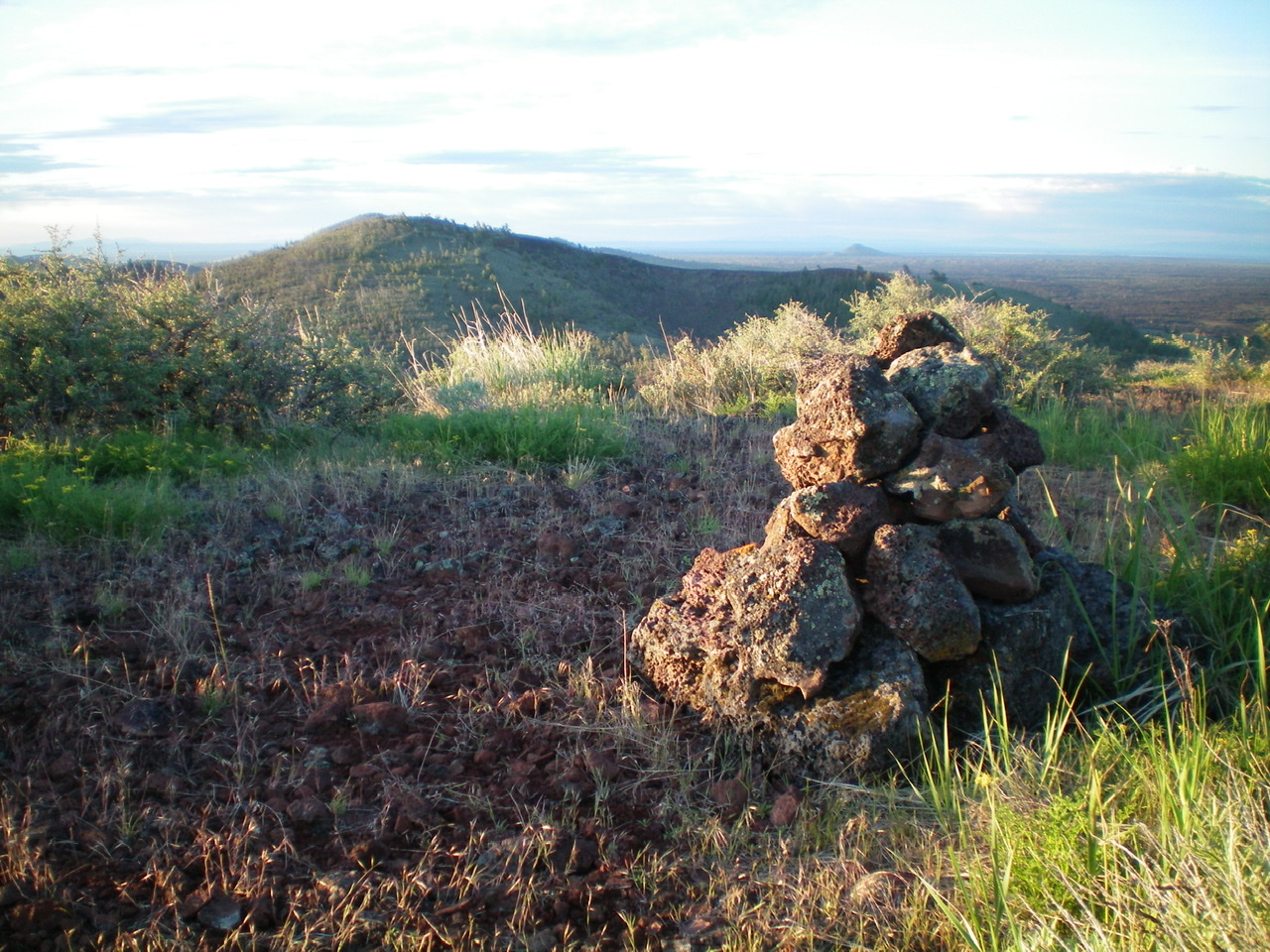
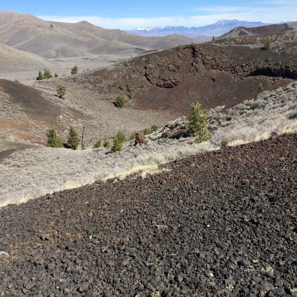
The summit cairn atop Grassy Cone, looking south. Silent Cone is in the distance. Livingston Douglas Photo
South Face, Class 2
Access
Same as for the southeast face
The Descent
From the west summit of Grassy Cone, descend south down the steep face to reach US-20. The brush/sage here isn’t as bad as on the [steeper] southeast face, but it’s still unpleasant. Once you reach the highway, walk east about 0.2 miles to the parking pullout and your vehicle.
Additional Resources
Regions: SNAKE RIVER PLAIN
Mountain Range: Snake River Plain
Year Climbed: 2015
Longitude: -113.58169 Latitude: 43.45519