Elevation: 9,100 ft
Prominence: 320
This peak is not in the book. Livingston Douglas added two photos. Updated November 2023
Gutzman Ridge is located northwest of Baldy and southwest of Salmon, Idaho. USGS Leesburg

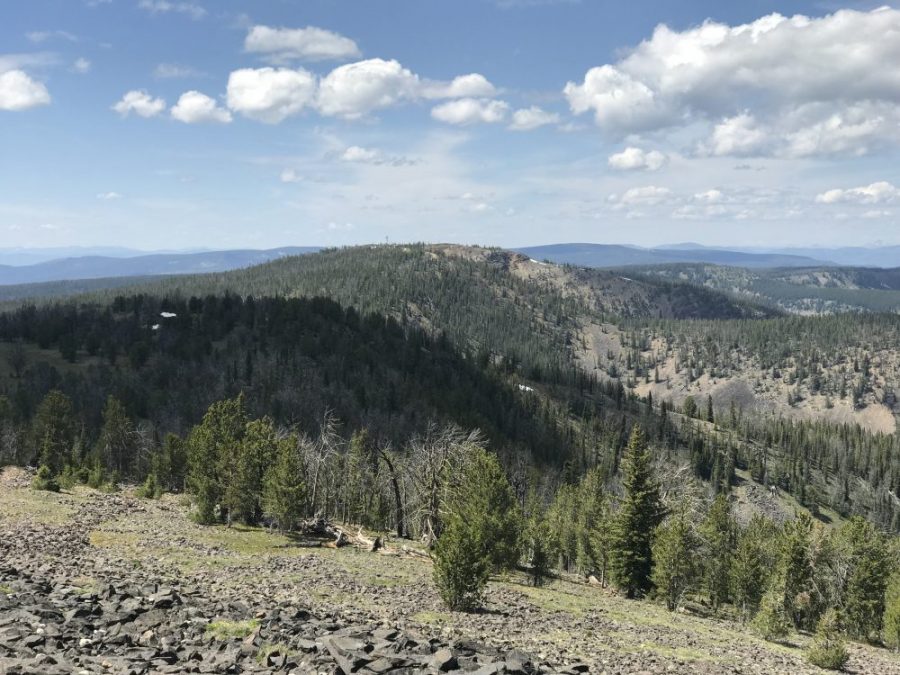
Gutzman Ridge as viewed from Baldy
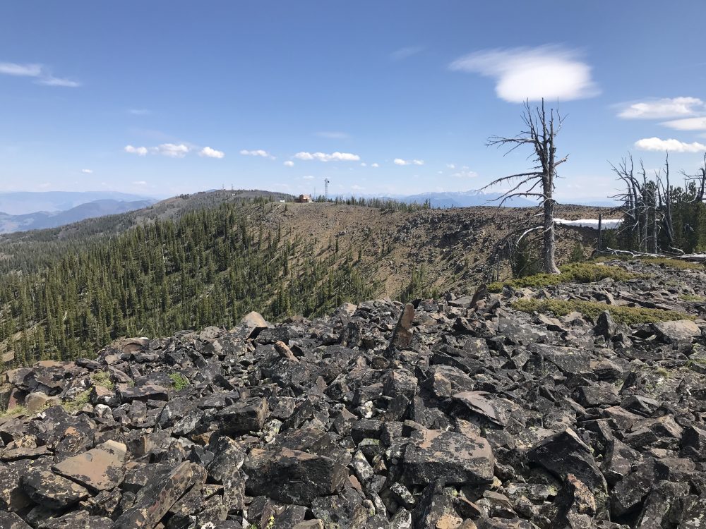
Looking toward Baldy from the summit of Gutzman Ridge. The route begins at the communications facility and crosses the nearly-level ridge top.
Access
See [(H)(1) and (2) on Page 142] updated here. Drive south from Salmon and the junction of US-93/ID-28 on US-93 for 4.9 miles. Turn west, cross the Salmon River, and follow FS-021 for 13.0 steep miles to Williams Creek Summit. This road is paved at first and is then a well-maintained, gravel road that is plowed in Winter. From Williams Creek Summit, turn north onto the Salmon River Mountain Ridge Road/FS-020. The ridge road is an occasionally-maintained road with its share of rough spots. Follow FS-020 north for 5.6 miles to its unsigned junction with FS-026. Take FS-026 for roughly 1.0 miles where you will encounter a Y-junction. Veer left and follow a rough road to an communications installation east of the summit. A 4WD vehicle is recommended from Williams Creek Summit.
Summit Ridge, Class 2
From the communication installation, follow the rocky ridge to the summit. The round trip distance is 0.7 miles with only 40 feet of elevation gain.
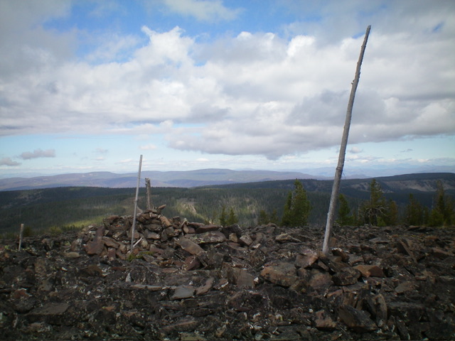
The summit area of Gutzman Ridge. Livingston Douglas Photo
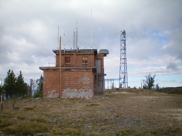
The boarded-up lookout and communication tower on the [lower] southeast summit of Gutzman Ridge. Livingston Douglas Photo
Additional Resources
Mountain Range: Eastern Salmon River Mountains
Year Climbed: 2019
Longitude: -114.02939 Latitude: 45.16219