Elevation: 4,745 ft
Prominence: 260

This butte is not in the book. Private land impacts access to this butte. You should secure permission before climbing this peak. Published November 2024
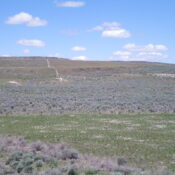
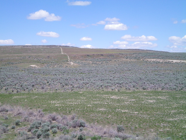
Horse Butte is a rather insignificant hump along I-84. The west side of Horse Butte is almost entirely BLM land. To reach it, you must cross a short patch of private land near the base of the south face. I encountered no signage to prohibit entry. The summit is on unposted private land. USGS Lake Walcott SW
Access
From Exit 228/North Yale Road on I-84, drive southwest for 0.2 miles to a “T” junction with ID-81. Drive south on ID-81 for 2.1 miles to a signed junction with 300S. Go left/east on 300S for 0.5 miles to a side road that goes left/north into a small sub-development of modular homes. Drive north up this side road for about 100 yards and park near a closed, gated 2-track road and a cattle fence. Park here (4,460 feet and 42⁰29’20”N, 113⁰23’30”W).
South Face, Class 2
The Climb
From the gated road closure, cross to the north side of the cattle fence and follow an old 2-track road northward up the left/west side of a fence row that separates irrigated farmland (to the right/east) from scrub (to the left/west). The 2-track soon ends just before reaching a fence corner. Bushwhack north then northwest (using cattle trails in the sagebrush) to reach the south end of the tilted summit plateau. Continue north-northeast to the high point and the USGS “Brush” benchmark. Much of this bushwhack is in easy field grass rather than sagebrush.
Additional Resources


