Elevation: 6,820 ft
Prominence: 1,290

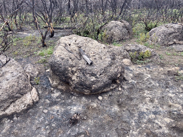
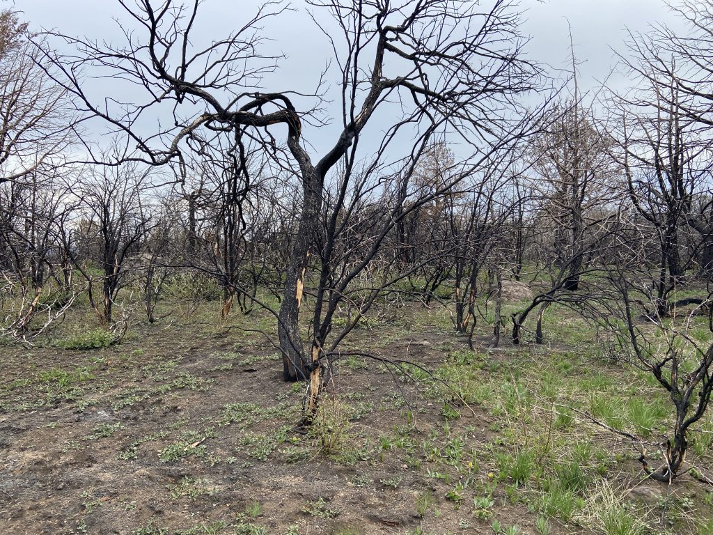
This peak is not in the book. A fire recently burned the summit area. The road is in surprisingly good condition. Updated May 2021
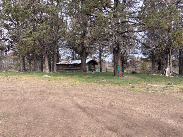
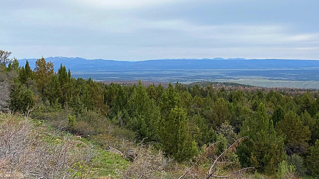
Juniper Mountain is located in the southern Owyhee Mountains about 45 miles southeast of Jordan Valley. Although only 6,820 feet in elevation, Juniper Mountain is large and has several unranked summits. Juniper Mountain is a drive up. [The Juniper Mountain area is a unique landscape covering an immense stretch of country. The views from the peak’s slopes include Steens Mountain in Oregon, a large of stretch of Nevada as well as South Mountain and the entire Silver City Range crest.] USGS Smith Creek
Access and Route, Class 1
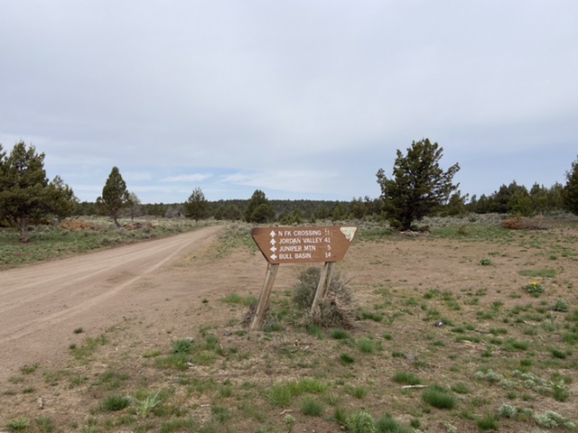
Take Yturri Boulevard east out of Jordan Valley, Oregon. This road quickly changes names, first to Trout Creel Road and then to Pleasant Valley Road. Follow the road south for 41.0 miles to the signed turnoff for Juniper Mountain. [These roads are part of the BLM’s Owyhee Uplands Backcountry Byway.] Follow the road south for about five miles and park. The summit is a few feet east of the road according to the LOJ, although on topo maps Juniper Mountain is marked about a mile to the southeast which is 100 vertical feet lower. On such a broad summit, the high point is difficult to locate. A high-clearance vehicle is recommended. The road is also a nice spot to run or hike as the area has excellent views of the Owyhees and neighboring mountain ranges. The summit road is quite gradual, gaining only about 1,200 feet in elevation.
Additional Resources
Regions: Owyhee Mountains->SOUTHERN IDAHO
Mountain Range: Owyhee Mountains
Year Climbed: 2021
Longitude: -116.8734 Latitude: 42.4491
