Elevation: 4,820 ft
Prominence: 186
This peal is not in the book. Published May 2019
This is one of seven Idaho peaks named Kelly Mountain. It is located east of Riggins, Idaho and just north of the main fork of the Salmon River. John Platt recommends this peak as a great early-season hike. His trip report is linked below. USGS Kelly Mountain
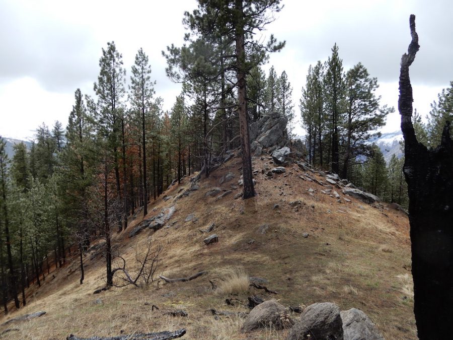
The summit of Kelly Mountain. John Platt Photo
Access
Access this peak from Riggins by taking the Big Salmon River Road/FSR-1614 east for 14.0 miles to the point where the road crosses from the north side of the river to the south side. The trailhead for FST-119 is located on the north side at this point.
South Ridge, Class 1+
Follow FST-119 along the river for roughly 0.75 miles to its junction with FST-121. Take FST-121 steeply uphill to the site of the old fire lookout. Continue up the ridge to the summit. FST-121 does not get much use but crosses mostly open slopes.
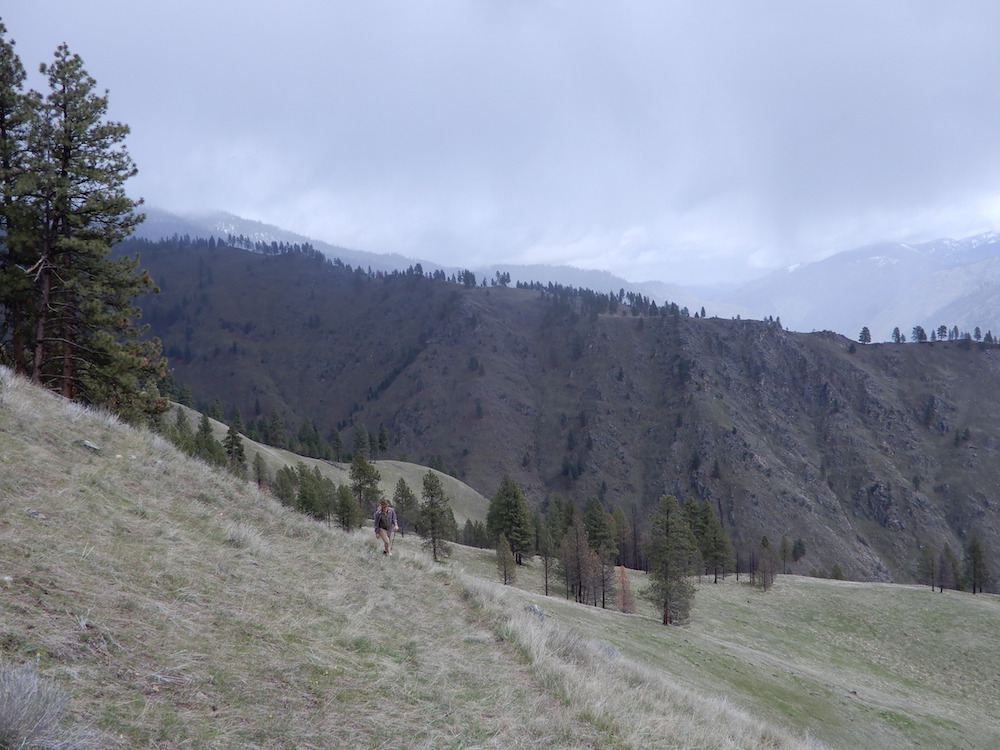
FST-121 climbing up the peak’s South Ridge. John Platt Photo
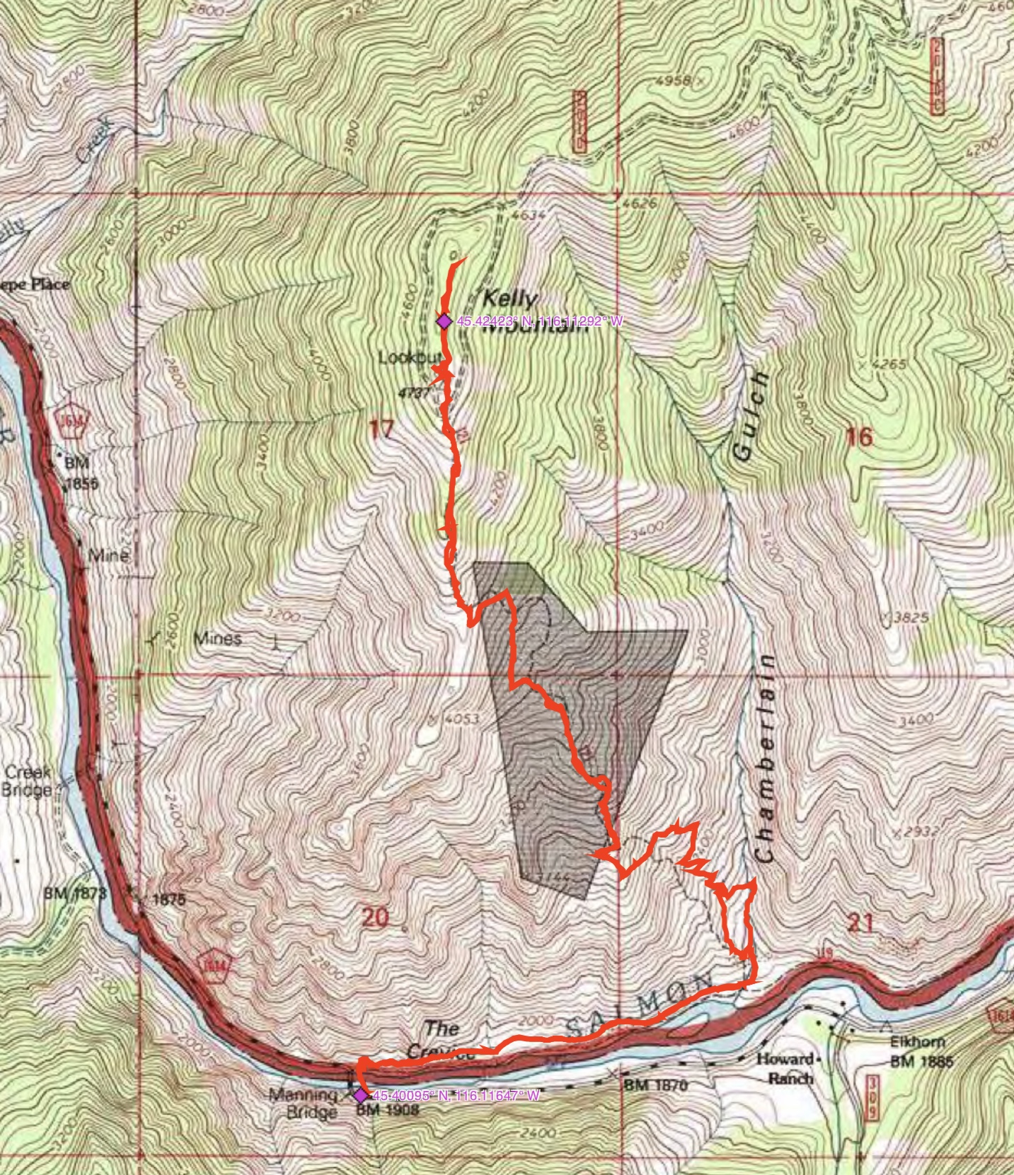
John Platt’s GPS track. Round-trip stats: 7.3 miles with 3,747 feet of elevation gain. The elevation gain figure seems a bit high considering that the starting point is 1,908 feet.
Additional Resources
Mountain Range: Southern Clearwater Peaks
Longitude: -116.11239 Latitude: 45.42629