Elevation: 10,490 ft
Prominence: 550
Climbing and access information for this peak is on Page 305 of the book. Livingston Douglas supplemented the book text by providing the description for the southeast ridge found below. Updated December 2019
The Knoll is located on the main Lemhi Range Crest between Umpleby Peak and Medusa. The northeast ridge is a steep Class 2 climb. The ridge traverse to Umpleby Peak is a more difficult Class 3 jaunt. USGS Coal Kiln Canyon
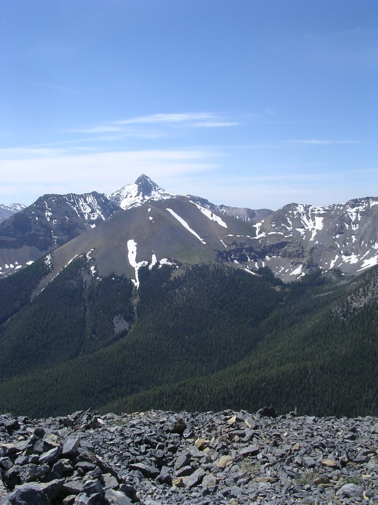
The Knoll viewed from the west ridge of Bell Mountain.
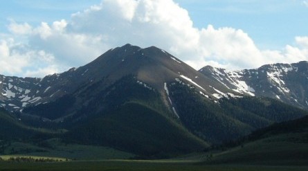
Bell Mountain, Umpleby Peak, and The Knoll (left to right).
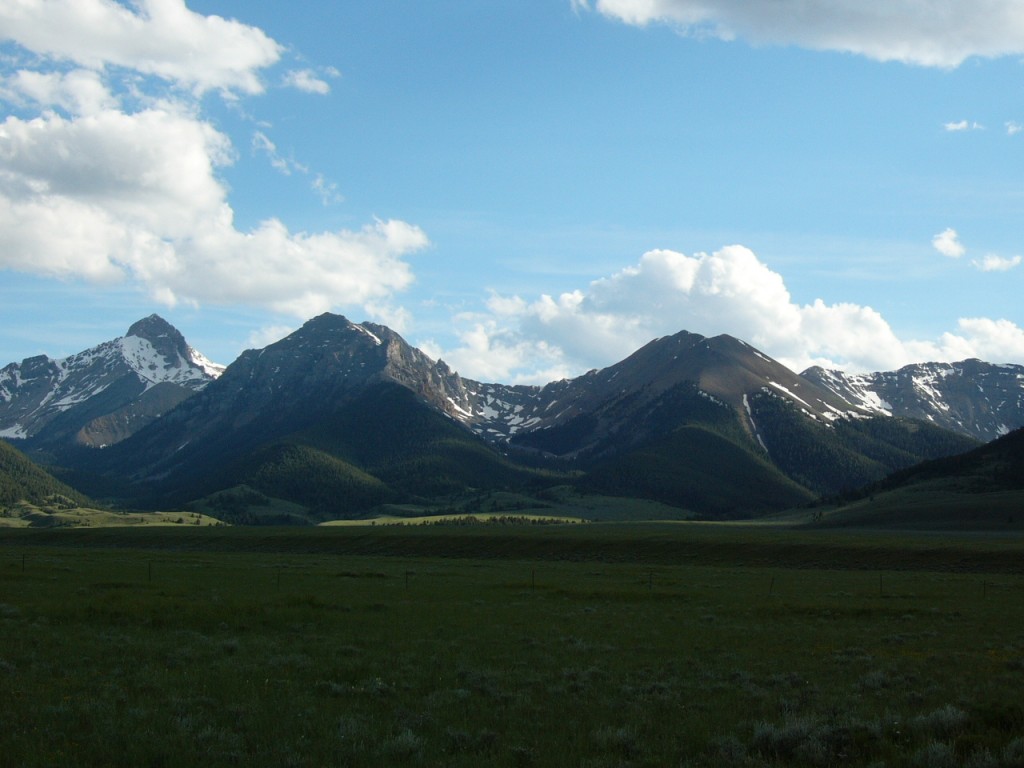
The Knoll as viewed from Rainbow Mountain with Bell Mountain in the distance.
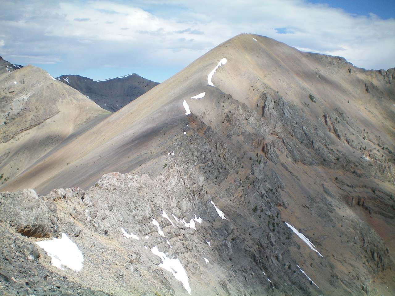
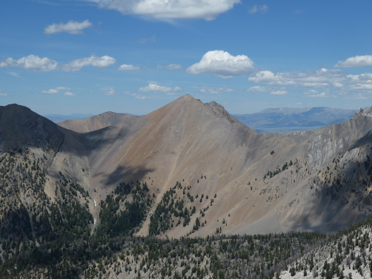
The southeast ridge of the Knoll (summit is just right of center) as viewed from low on the northwest ridge of Umpleby Peak. Livingston Douglas Photo
Southeast Ridge, Class 2+ by Livingston Douglas
Access
Basinger Canyon Road is located along the Little Lost River Highway exactly 5.8 miles north of Clyde. From the highway, turn right/east onto [unsigned] Basinger Canyon Road. At 0.8 miles, pass sheep pens on the right side of the road. At 1.0 miles, cross a bridge. At 1.1 miles, go left at an unsigned road fork. At 3.9 miles, reach the Challis National Forest boundary. Park here (6,675 feet). If road conditions permit, you can drive another mile up narrow, rocky Basinger Canyon Road/FSR-840 to shorten this climb.
The Descent
This route is the first leg of a ridge traverse from The Knoll to Umpleby Peak. From the gentle summit of The Knoll, descend the ridge crest about ½ mile and 550 vertical feet to a saddle at 9,940 feet. The ridge terrain is very loose talus/scree with rocky ridge outcrops and steep, embedded rock strata/ledges. It goes at Class 2+ but be very careful with your footing on this ridge, particularly when descending it.
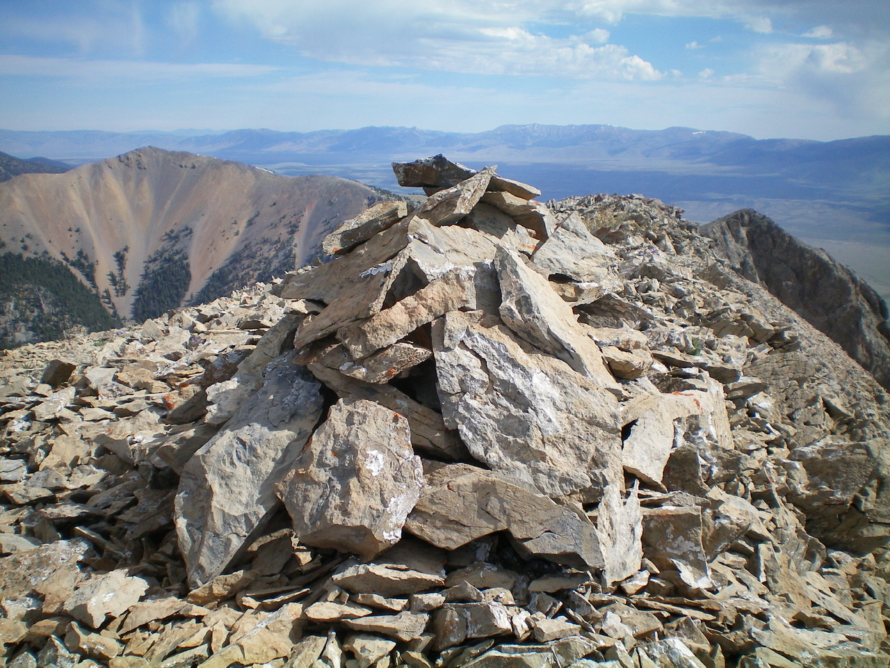
The newly-enhanced summit cairn atop The Knoll. Livingston Douglas Photo
Additional Resources
Regions: EASTERN IDAHO->Lemhi Range
Mountain Range: Lemhi Range
Year Climbed: 2005
Longitude: -113.20479 Latitude: 44.26179