Elevation: 5,318 ft
Prominence: 938
This peak is not in the book. Livingston Douglas added three new photos. Updated 2025
Krall Mountain is a good destination for the month of May before summer temperatures hit. The peak is located north-northwest of Prairie, Idaho. The peak was burned over by a massive forest fire in the early 1990s and is mostly treeless. Since it has nearly 1,000 feet of prominence, it is a great place to view the surrounding country. USGS Long Gulch
Access
Access the east side of the peak from FS-213. This road runs between Prairie and the Middle Fork Boise River. The road is usually well maintained in the Summer and is drivable by passenger vehicles after it has been graded.
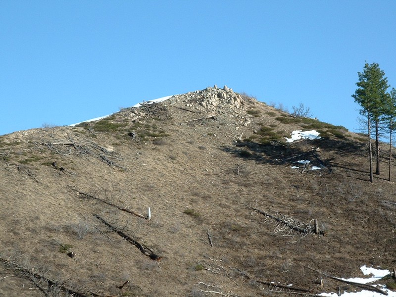
Krall Mountain burned over in the 1990s and is nearly devoid of trees as a result. John Platt Photo
East Ridge, Class 2
Climb the peak via its East Ridge, which is accessed from FS-213 where the road crosses a pass between Rattlesnake Creek and Long Gulch. The ridge is broad at first but narrows as you approach the summit.
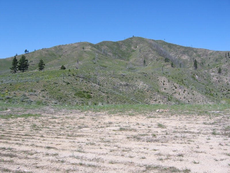
Krall Mountain is a short hike from the nearest road. Dan Robbins Photo
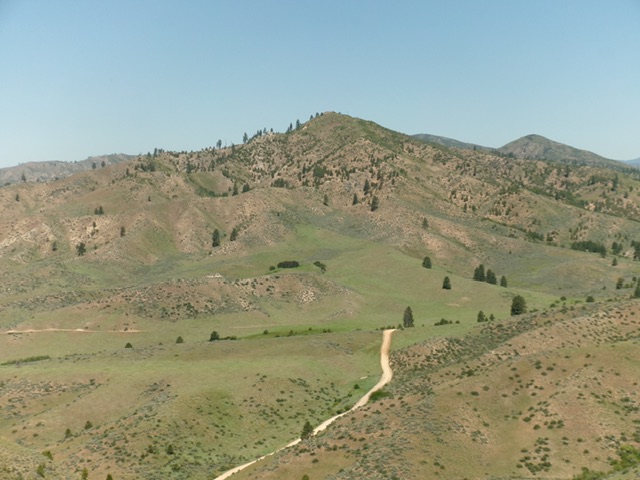
Krall Mountain (in center) as viewed from the southeast. Livingston Douglas Photo
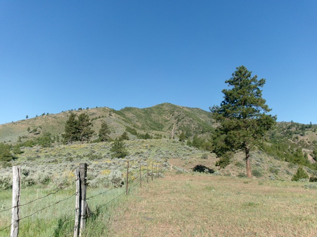
Krall Mountain (dead center), its east ridge (skyline left of center), and the initial fence row to follow. This is the view from the start of the climb. Livingston Douglas Photo
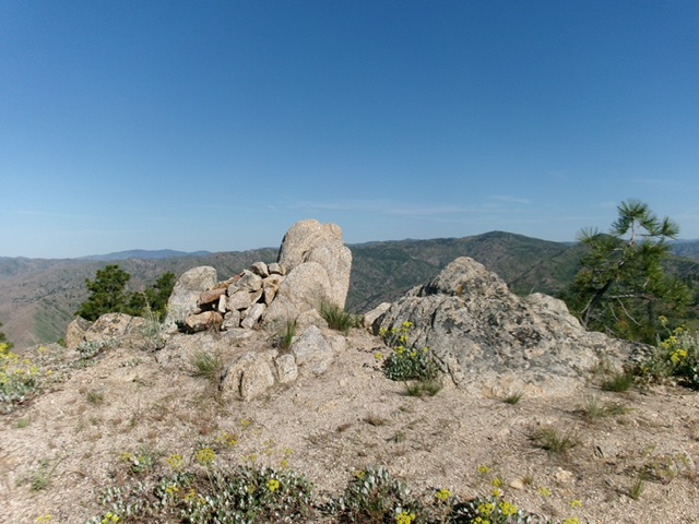
The summit boulders atop Krall Mountain. Livingston Douglas Photo
Additional Resources
Regions: Boise Mountains->WESTERN IDAHO
Mountain Range: Boise Mountains
Year Climbed: 2005
Longitude: -115.69839 Latitude: 43.56669