Elevation: 9,179 ft
Prominence: 2,319
Climbing and access information for this peak is on Page 117 of the book.
Since my first ascent of Log Mountain in 1988, a lot of the forest on its West Side has burned. In 2013, I climbed the peak with John Platt and John Fadgen from the East. Shell Rock Peak is located just east of Log Mountain and is also a worthwhile ascent. To reach the East Side of Log Mountain, start in Cascade and take the Warm Lake Highway [(C)(1) on Page 138] past Warm Lake to the Johnson Creek Road [(C)(1.3) on Page 139]. Drive north roughly 10 miles to FS-410 [(C)(1.3.1) on Page 139]. Follow FS-410 for 10 miles to a nice trailhead with campsites and a concrete Forest Service toilet. Much of this route traverses burned mountain slopes. USGS Log Mountain
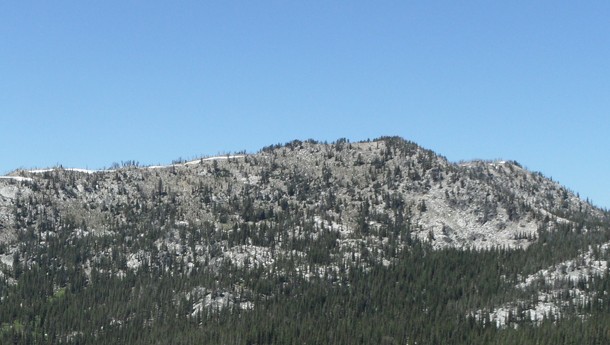
Log Mountain as viewed from Shell Rock Peak. John Platt Photo.
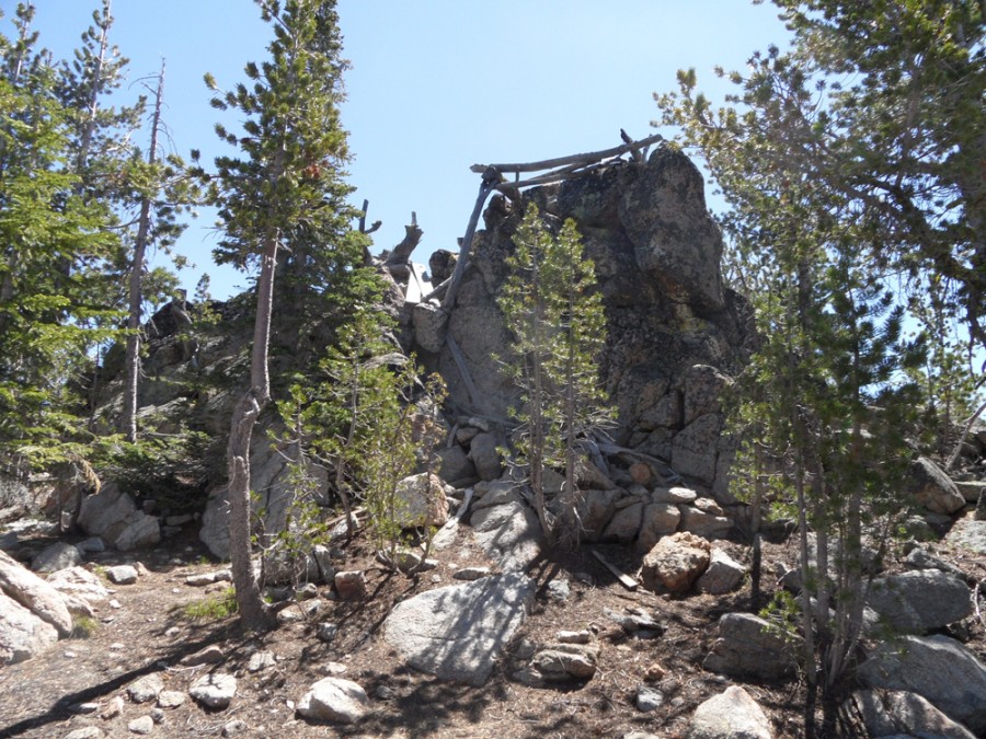
The remains of a fire lookout crown Log Mountain’s highest point.
Additional Resources
Regions: Central Salmon River Mountains->Log Mountain - Deadwood Divide Peaks->Salmon River Mountains->WESTERN IDAHO
Mountain Range: Central Salmon River Mountains
Year Climbed: 1988, 2013
Longitude: -115.60469 Latitude: 44.82119