Elevation: 6,978 ft
Prominence: 398

This peak is not in the book. Published November 2024
Long Ridge is the fifth of five ranked summits on Upper Valley Road in the Soda Springs Hills. This high ridge separates Ninety Percent Canyon from Robinson Draw. Long Ridge is most easily climbed via its west face from Upper Valley Road. USGS Alexander

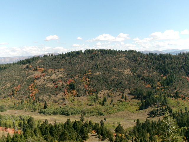
Long Ridge (dead center) and its west face (my ascent route) as viewed from Peak 6926 to its west. Livingston Douglas Photo
Access
From US-30 a few miles west of Soda Springs (and 0.9 miles east of the US-30/ID-34 junction), turn north onto [signed] Oregon Trail Road. Drive 1.4 miles north up Oregon Trail Road to a signed junction with Upper Valley Road/BLM-11. Reset your odometer here. At 4.1 miles, park in a grassy pullout on the right/east side of the road near an iron pipe fence corner (6,375feet and 42⁰41’39”N, 111⁰39’58”W).
West Face/South Ridge, Class 2
The Climb
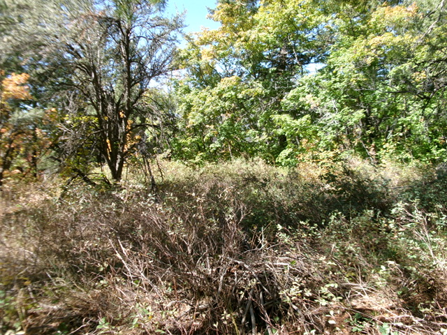
From the grassy pullout, bushwhack east up through open scrub then a thick aspen forest. Reach an area of pines then open scrub. Find a nice shoulder with scattered mountain mahogany. Scramble east up this semi-open shoulder of grass, scrub, and scattered mountain mahogany to reach the south ridge just above, and south of, a ridge saddle. Bushwhack north up the forested, brushy ridge (not fun), looking for any gaps/lanes of open grass/scrub.
Reach a semi-open hump that may be the high point of Long Ridge. Continue north a bit farther and find a forested hump of identical height (according to my altimeter) but higher, according to my GPS. There is a pile of tree limbs here (a “tree limb” summit cairn, perhaps?). The ridge clearly heads downhill to the north from here. One of these two humps is the high point. Stand atop both “just to be sure.” The ridge is thickly forested so you can’t do a visual comparison of the height of the two humps.

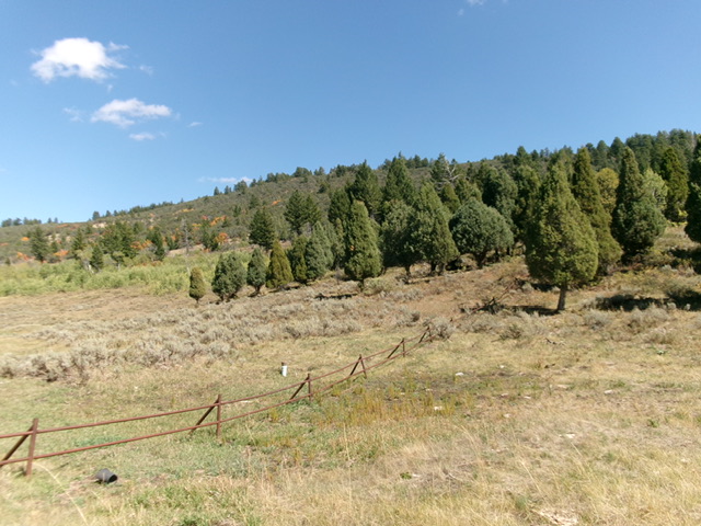
Looking up the west face of Long Ridge from Upper Valley Road (start of climb). Livingston Douglas Photo
West Face, Class 2
The Descent
From the north summit, descend diagonally southwest down the face in an easy forest of mountain mahogany (now THAT is unusual). It is nicely gapped with no brush. Lower down, bash through an area of thick scrub then a patch of aspens to return to the grassy pullout. This descent route is a more direct and easier line than my ascent route.
Additional Resources
Regions: Blackfoot Mountains->Soda Springs Hills->SOUTHERN IDAHO
Mountain Range: Blackfoot Mountains
Longitude: -111.6581 Latitude: 42.6979
