Elevation: 9,965 ft
Prominence: 1,874
Climbing and access information for this peak is on Page 219 of the book. LiDAR updates: The elevation and prominence figures are now updated with the recent LiDAR statistics. Livingston Douglas provided the 2024 updates. Updated December 2024
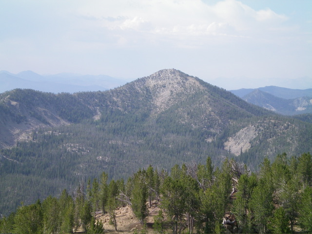
Lookout Mountain is a Class 1 peak with a first-class view. If you want to extend your hike a bit, you can follow the peak’s northeast ridge to Robinson Bar Peak. USGS Casino Lakes
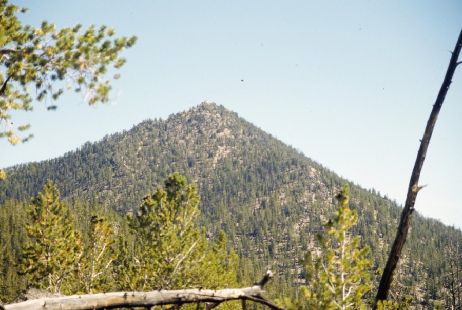
Lookout Mountain
2024 Updates by Livingston Douglas
Map Errors
The USGS topo map misplaces the first crossing of Rough Creek. The actual crossing is on a nice footbridge and is about 0.2 miles upstream from the map’s placement. The map also fails to show the footbridge across Rough Creek here. The Adventure Maps trail segment mileage figures appear to be slightly understated by about 0.1-0.2 miles for each segment.
Access to the Fire Lookout
Contrary to the book information, the fire lookout is boarded up and locked. There is no longer any public access to it.
Trail Updates
The Climb
From the Rough Creek trailhead (7,405 feet), hike 2.8 miles south up Rough Creek Trail/FST-647 to a signed trail junction. Go left/east onto FST-617 (also signed for “Lookout Mountain”) and hike 0.6 miles up this rocky, steep trail (with several switchbacks) to reach the southwest ridge of Lookout Mountain. Once on the high ridge crest, reach a signed trail junction (at 9,060 feet) with FST-647. Go left/northeast onto FST-647 and follow it to the summit. There is a lot of loose, steep gravel and sand on the upper section of FST-647 as you approach the summit. Both FST-617 and FST-647 have a lot of large ground boulders on the trail and would not make for a good ride on a motorcycle. Both FST-617 and the upper section of FST-647 (lots of switchbacks) are quite steep and rocky. Wear appropriate footwear.
The book implies that you should just hike up FST-647 from the Rough Creek trailhead to the summit. While you can do that, it adds quite a bit of mileage since FST-647 heads right/southwest for 0.9 miles (away from Lookout Mountain) from a signed junction. It then turns hard left/east and then climbs up over Peak 9334 then descends northeast to reach a signed trail junction at the base of the southwest ridge of Lookout Mountain (another 1.1 miles). So FST-647 adds a needless 1.4 extra miles (each way) to the hike and an extra 500 vertical feet (round trip). Stick with the FST-647/FST-617 combo for the shortest hike to the top.
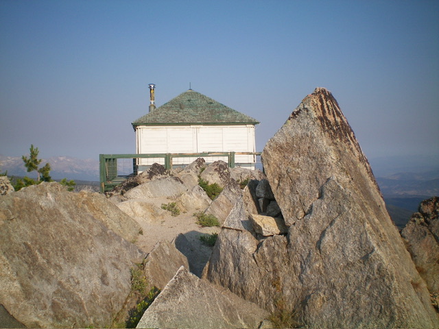
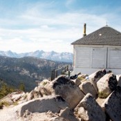
The summit of Lookout Mountain and its fire lookout. The high point is the large block right of center. Livingston Douglas Photo
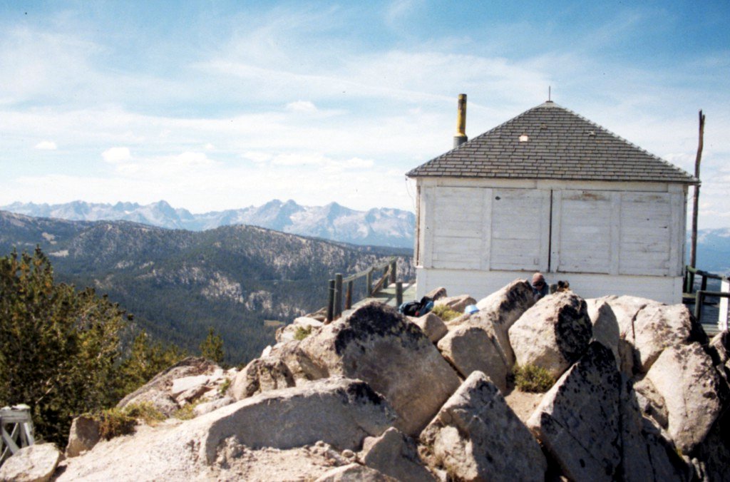
The summit of Lookout Mountain
Additional Resources
Regions: EASTERN IDAHO->White Cloud Mountains
Mountain Range: White Cloud Mountains
Year Climbed: 1989
