Elevation: 8,441 ft
Prominence: 751

This peak is not in the book. Published December 2024
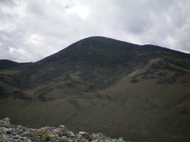
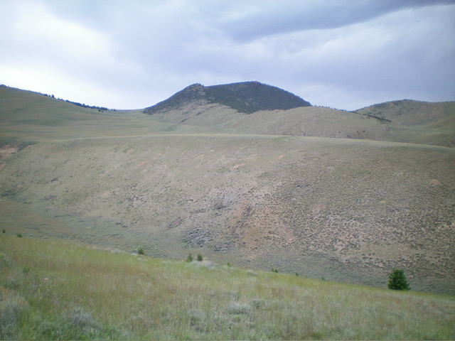
Mahogany Hill is the highest of a collection of ranked summits that sit on the west side of the Pahsimeroi Valley. It is most easily climbed from a Forest Service road on its southwest side at a high saddle. USGS Mahogany Hill
Access
BLM-106 is located along Doublespring Road at the same junction as for the Peak 6558 climb. Turn left/southwest off Doublespring Road and drive 0.1 miles to an unsigned “T” junction. Go left/south here and reset your odometer (this is BLM-106 on maps). At 0.4 miles, go right at an unsigned junction. At 1.5 miles, go right onto unsigned BLM-418. At 2.1 miles, go right/southwest at a signed BLM junction. At 2.4 miles, reach an unsigned junction with a weak 2-track heading left/southeast. Park at this junction (6,450 feet and 44⁰23’31”N, 113⁰49’17”W).
Map Errors
There are a few 2-track roads in this area shown on the USGS topo map that no longer exist.
Southwest Face/South Ridge, Class 2
The Climb
From the road junction, hike west then northwest up a 2-track road. It meanders its way up a bench to reach a final gully (Mulkey Gulch) and climbs it to an open, grassy saddle with multiple unsigned road junctions at 7,936 feet (map). Leave the road at this saddle and scramble northeast up through gapped mountain mahogany to reach the crest of the south ridge. There is a game trail heading diagonally left/north early on. It ends about midway up the face.
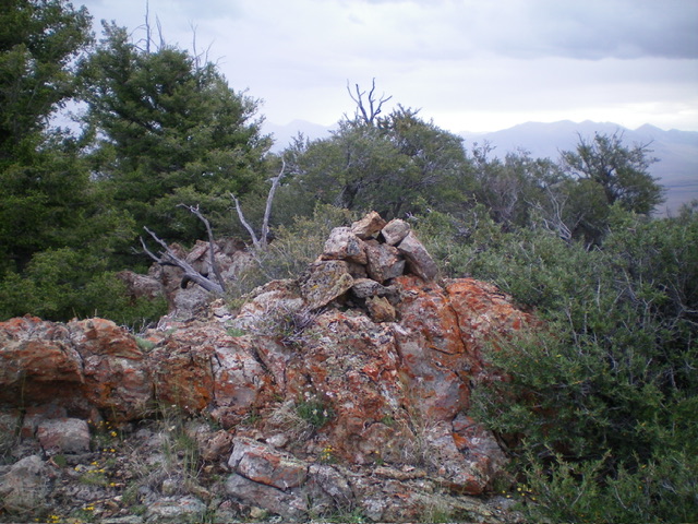
Once on the south ridge, head left/north and follow the easy ridge crest through gapped mountain mahogany, easy field grass, and ground rock. The summit of Mahogany Hill is semi-open with mountain mahogany around it, justifying the name of this summit. There is another rocky ridge outcrop to the left/southwest of the cairned summit. It is of equal height so stand on it just to be sure that you can claim the high point of Mahogany Hill.
Additional Resources
Regions: EASTERN IDAHO->Lost River Range->Pahsimeroi Range
Mountain Range: Lost River Range


