Elevation: 6,043 ft
Prominence: 543

This peak is not in the book.
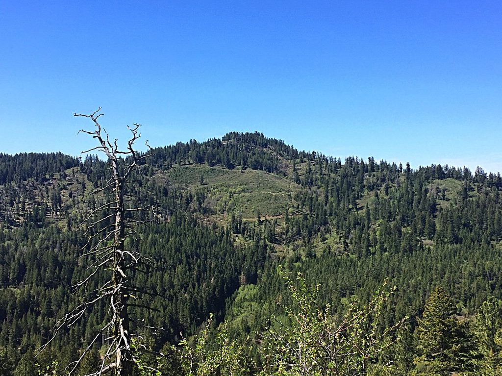
Monroe Butte is located south of Iron Mountain on a high ridge that parallels the Snake River and the Idaho/Oregon border. This peak can be reached after a short hike. The view from the summit is massive. USGS Monroe Butte
Access
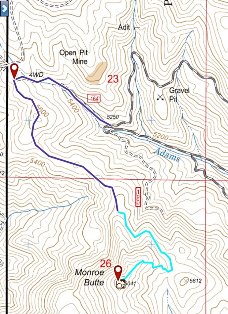
Drive US-95 10.0 miles north of Weiser and turn onto FS-600/Mann Creek Road. The road is paved to the Mann Creek Reservoir. From the reservoir, it is a good gravel road that follows Mann Creek NNW into the forest. Continue until you reach the junction with FS-025. Turn left, cross Mann Creek on a bridge, and follow this improved road up Adams Creek until it turns back on itself and climbs north out of the drainage. A junction with FS-164 is found on this curve. FS-164 requires, at a minimum, a high-clearance vehicle. Follow the road uphill to a ridge top. FS-164 continues to the right at this point. On your left, you will find an unnumbered road. This road passes through a gate and continues to a dead end at the base of Monroe Butte.
Semi-Circuit Route, Class 1+
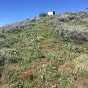
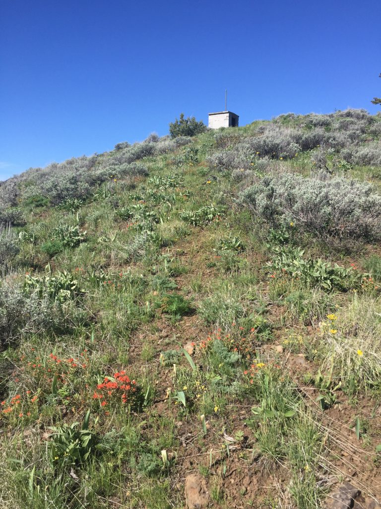
From the end of the road, look for an old road running southeast. Follow this road until it dies out. A rough trail continues southeast and then turns into the saddle between the summit and Point 5812. You will find an old logging road in this saddle. Follow it across the saddle through a brushy spot and then turn right. The summit is directly above you. Climb up the grass-covered slope to the top where you will find the ruins of a small CMU building and a summit register left by Jon Fredland.

My GPS track for Monroe Butte. The black line is the road approach from FS-025 and the blue line is the hiking route.
Additional Resources
Regions: Cuddy and Hitt Mountains->WESTERN IDAHO
Mountain Range: Cuddy and Hitt Mountains
Year Climbed: 2017
Longitude: -117.02819 Latitude: 44.52039

