Elevation: 12,140 ft
Prominence: 640
Climbing and access information for this peak is on Pages 278, 280 and 281 of the book. Also, see Wes Collin’s article on The Lost River Traverse in the Climbing History Section. In 2019 Marc Hanselman and Paddy McIlvoy climbed a daring new route on the peak’s north face I added a link to Hanselman’s article on the climb in the American Alpine Club’s 2020 journal. Updated December 2022
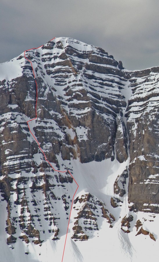
Mount Breitenbach is Idaho’s 5th-highest summit and is located in the Lost River Mountain Range. It is one of the nine Idaho 12ers. It’s a toss up between this 12er and Mount Borah as to which peak possesses the most impressive North Face. While Borah’s North Face hangs on to its snow and ice and sees more ascents, in my opinion, Breitenbach wins the North Face competition. Read about the first ascent of the North Face at this link: Mount Breitenbach’s North Face – North East Ridge and First Ascent.
This page has additional information and photos about Breitenbach’s South Ridge Route (the standard approach) as well as information on a West Face approach to the summit. Links to additional information are provided following the photo essays. USGS Leatherman Peak
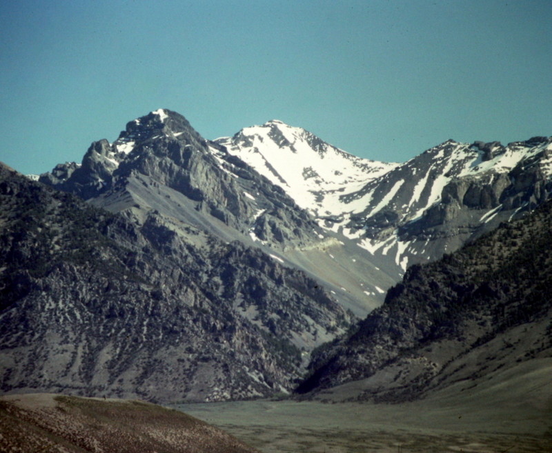
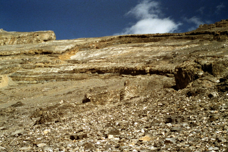
Mount Breitenbach and the Pete Creek drainage, as viewed from the west.
South Ridge Route via Pete Creek, Class 3
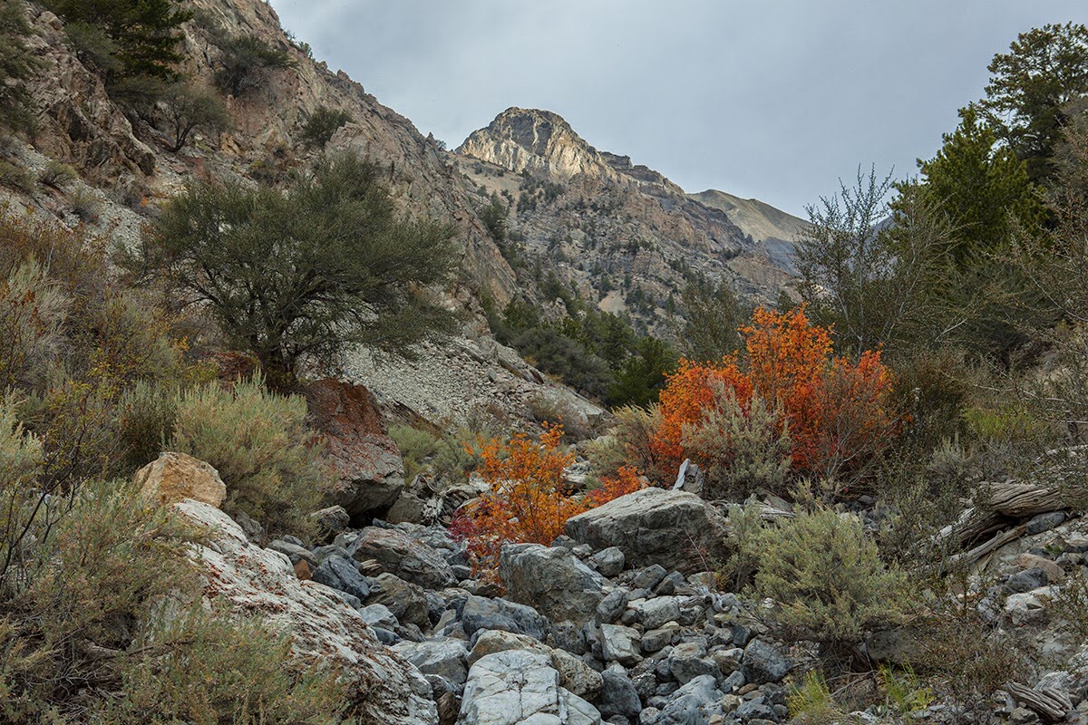
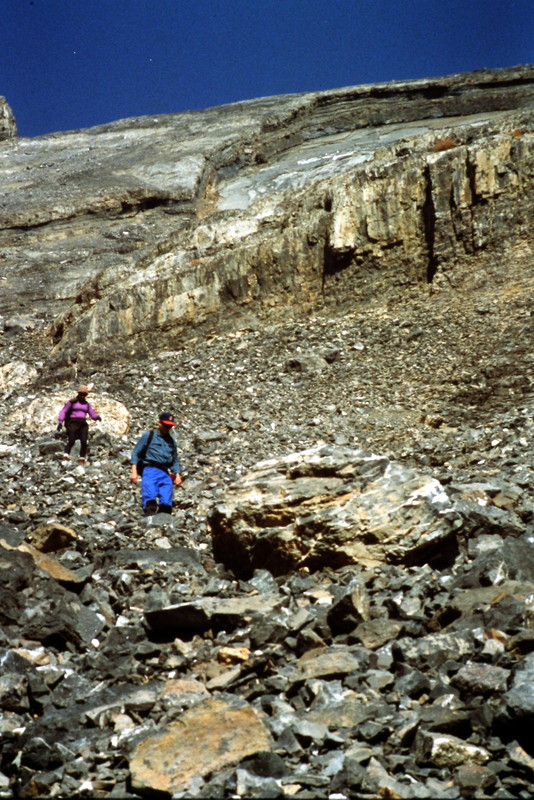
The South Ridge Route described in the book has better footing than you might think from viewing the following photographs. Still, there is enough talus to make it an arduous climb when the snow is completely gone.
The hike starts out by ascending the Pete Creek drainage. Larry Prescott Photo
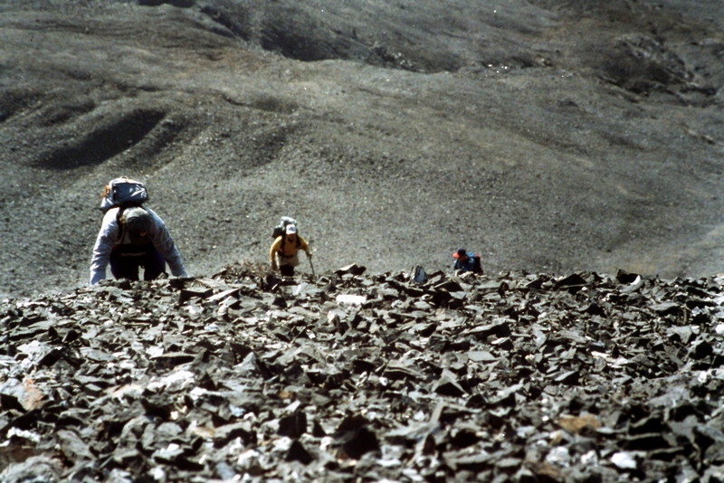
Mount Breitenbach is most often climbed via its South Ridge. The approach up Pete Creek is straightforward and gives relatively quick access to the rubble-covered slope that leads to the ridge.
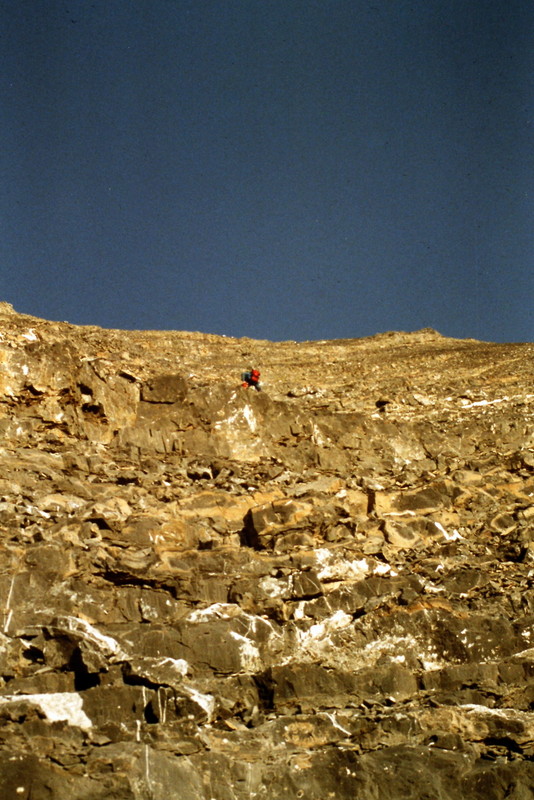
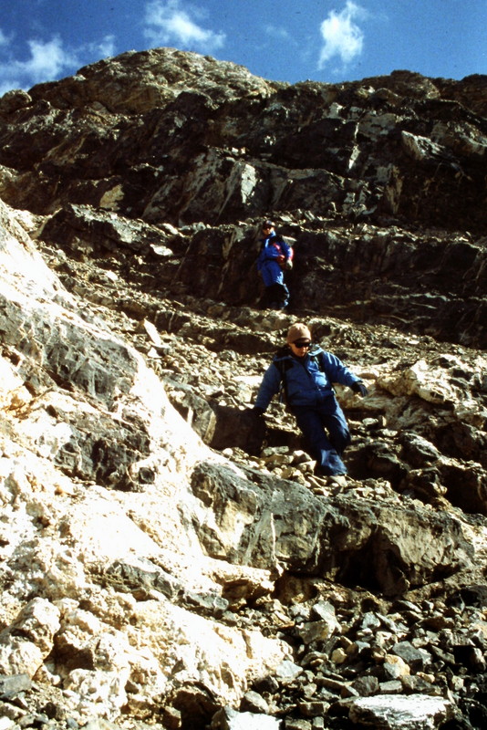
Approaching the ridge crest.
Looking down Pete Creek from the saddle on the Mount Breitenbach’s South Ridge. Larry Prescott Photo
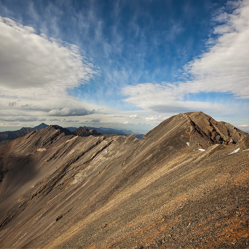
Looking from the saddle to the summit (right). No Regret Peak is the peak to the left along the ridge. Larry Prescott Photo
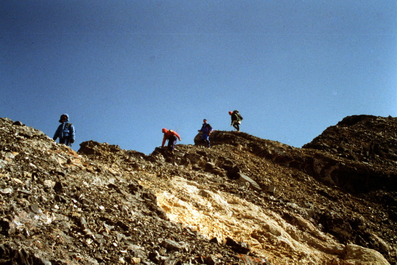
Moving along the ridge near the summit of Mount Breitenbach.
West Face Route via Jones Creek, Class 3
I have only descended this route and, while it is not too difficult technically, the rotten rock and long walk up Jones Creek make it much harder than the South Ridge Route.
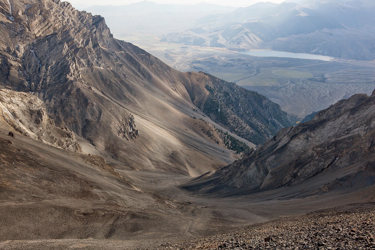
The West Face of Mount Breitenbach as viewed from the upper reaches of Jones Creek.
Two climbers descending the lower face. There are a number of cliffs to skirt around on this route and enough loose rock to trip any climber up.
The actual crux may be a series of cliffs lower down in Jones Creek. I’ve ascended Jones Creek three times. It is constantly-changing terrain full of rubble.
Visit these pages for additional information
- Mount Breitenbach’s North Face – North East Ridge and First Ascent.
- Mount Breitenbach, North Face, Cowboy Poetry Route, AAC Journal, 2020
- Larry Prescott’s Trip Report, with outstanding photography of the South Ridge route and surrounding peaks.
- March 13, 2015, Winter Ascent of the South Ridge Route: Eric Newell’s Photo Essay.
Return to the Idaho 12ers Page.
Additional Resources
Regions: EASTERN IDAHO->Lost River Range
Mountain Range: Lost River Range
Year Climbed: 1991
First Ascent Information:
- Other First Ascent: North Face
- Year: 1983
- Season: Summer
- Party: Bob Boyles, Mike Weber and Curtis Olson.
Longitude: -113.6729 Latitude: 44.06511
Pingback: From Diamond Peak to Hyndman Peak: Kelly Lance’s 12er Traverse by Tom Lopez - IDAHO: A Climbing Guide