Elevation: 10,063 ft
Prominence: 643
Climbing and access information for this peak is on Page 131 of the book. Livingston Douglas added the major update found below based on his 2024 ascent. Updated December 2024
Mount Jordan sits on the southern border of the Frank Church River of No Return Wilderness, west of Loon Creek Summit above the headwaters of Jordan Creek in the Eastern Salmon River Mountains. Its north face is particularly rugged and has probably never been climbed. USGS Mount Jordan
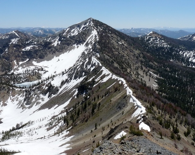
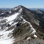
Mount Jordan as viewed from The General. Dan Robbins Photo
2024 Update by Livingston Douglas
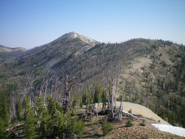
Mount Jordan (summit is left of center) as viewed from the north ridge of Peak 9734 to its south. Livingston Douglas Photo
This climb is the first leg of a 3-peak adventure that includes Mount Jordan, Peak 9628, and Peak 9734. It covers 9.5 miles with 3,900 feet of elevation gain round trip.
Access
From Yankee Fork Road/FSR-070, drive north up [signed] Loon Creek Road/FSR-172 for 6.0 miles to a signed junction with Jordan Creek Road/FSR-536. Go straight onto Jordan Creek Road and drive 0.1 miles to a spur road (right). Park here (7,535 feet and 44⁰27’21”N, 114⁰44’40”W) or continue another 0.4 miles up the two-track road to a parking pullout (and campsite)just before the road fords Jordan Creek. The road gets much rockier and rougher/steeper after this pullout. It is best suited for ATVs and Jeeps at this point.
South Ridge, Class 2
The Climb
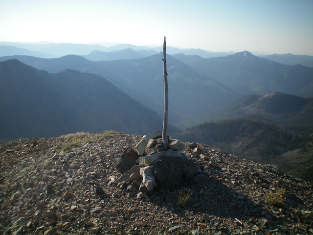
From the spur road at the 0.1 MP on Jordan Creek Road, hike west then northwest up the rugged Jordan Creek Road to its end just above a meadow on a shoulder, where it turns into a foot trail. Follow the foot trail north then west then southwest to a crossing of the south ridge of Mount Jordan at a saddle (9,500 feet). Leave the trail here and scramble north up the easy, open scree/gravel on the ridge crest to reach the small summit hump of Mount Jordan. There is a brief goat trail initially in this climb but then, surprisingly, there is no trail of any kind. The summit has a modest cairn with a tree branch in it.
Ridge Traverse to Peak 9628, Class 2
From the summit, return down the south ridge to the 9,500-foot saddle. Contrary to the USGS topo map and the Challis National Forest map, there is no foot trail crossing the ridge and heading southwest from the saddle area. But it does exist farther down the west side of the south ridge. Leave the ridge and bushwhack diagonally right/, aiming for the 9,180-foot saddle northeast of Peak 9628. This face is a burn area with charred downed timber, field grass, and gravel. It goes reasonably well for a burn area.
About halfway down, you will find a foot trail (shown on maps) heading southwest to the aforementioned saddle. Follow the trail to where it crosses the west ridge of Point 9695. Bushwhack west downhill for a short distance through a relatively easy mix of burnt and live pines to reach the aforementioned 9,180-foot saddle. There is a trail coming up to this saddle from Lightning Lake to the north. This is the low point in the traverse from Mount Jordan to Peak 9628. It concludes the first leg of today’s 3-peak journey. Peak 9628 is up next.

The final section of jeep road then foot trail to the ridge saddle on Mount Jordan. Livingston Douglas Photo
1989 Climb Photos
Mount Jordan is located in a beautiful area that was crowded with wildlife when I climbed it in 1989. On the route to the summit, we saw deer, elk, bighorn sheep, and one mountain goat.
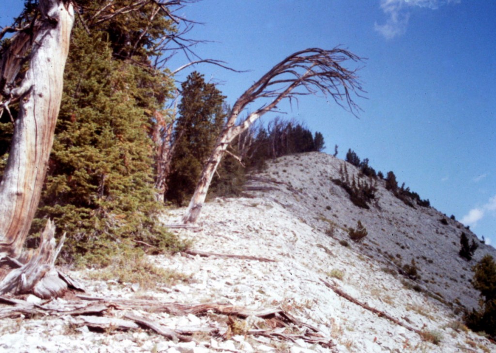
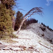
Mount Jordan’s south ridge provides good access to the summit
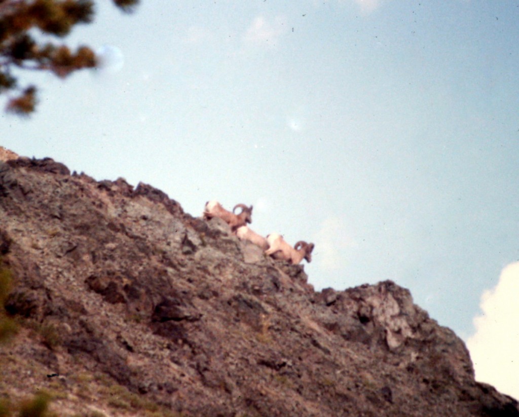
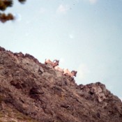
Bighorn sheep on Mount Jordan’s south ridge
Additional Resources
Regions: Eastern Salmon River Mountains->Salmon River Mountains->Southeast Corner Peaks->WESTERN IDAHO
Mountain Range: Eastern Salmon River Mountains
Year Climbed: 1989
