Elevation: 10,785 ft
Prominence: 1,525
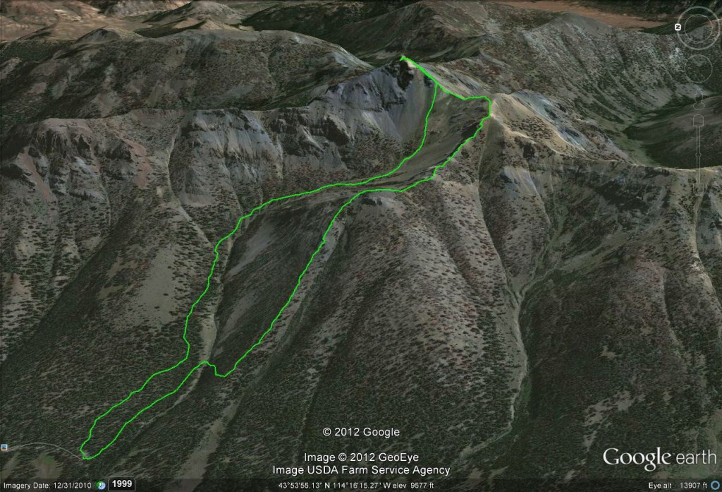
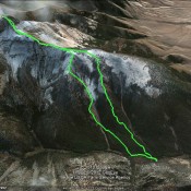
Climbing and access information for this peak is on Page 239 of the book. Livingston Douglas added a more detailed description of the access, a new ascent route (the west face/northwest gully) and a description of his descent down the southwest ridge/east face as well as new photos and a route map. Updated November 2024
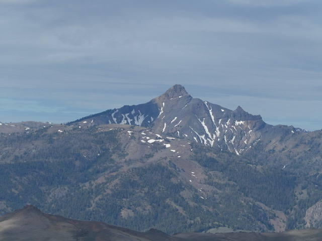
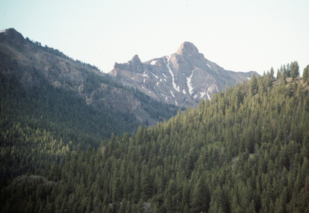
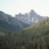
Mystery Peak is not an official name. I adopted the name after spotting the peak from a number of surrounding peaks. Its rugged, horn-shaped summit is impressive from a distance and even more so when I climbed the peak. I had asked a lot of climbers about the peak but none of them knew anything about it. How was it that no one knew about this peak? It was a mystery; hence the name. USGS Meridian Peak
West Face/Northwest Gully and Southwest Ridge/East Face by Livingston Douglas
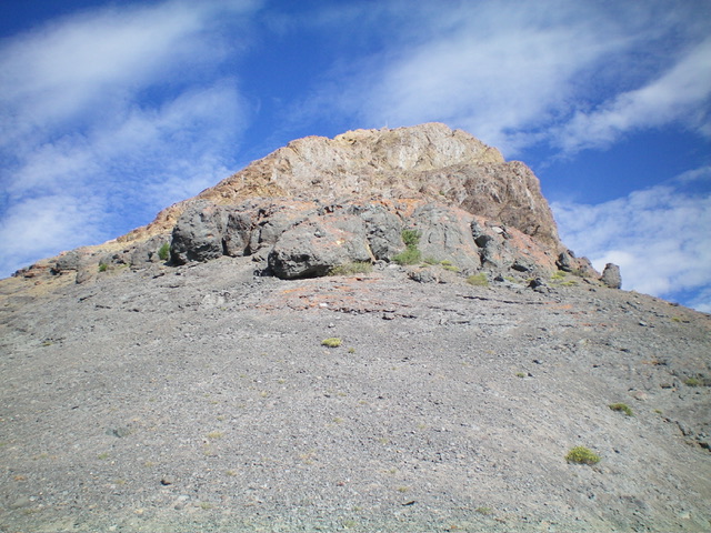
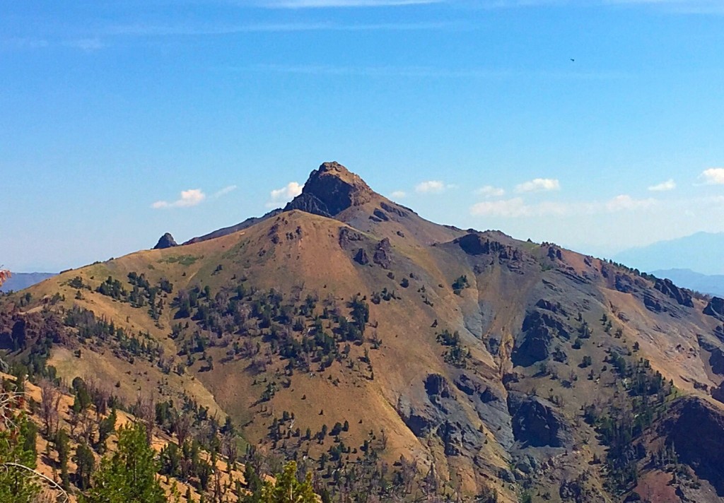
Mystery Peak as viewed from the base of the east face. This was the final leg of my ascent route. Livingston Douglas Photo
Access
Miller Canyon Road [(B)(2)(b) on Page 242 of the Book]. From 8.9 miles up North Fork Big Lost River Road, turn left/south onto [signed] FSR-601. Reset your odometer here. At 0.1 miles, reach a signed junction with FSR-476/Miller Canyon Road. Go left onto FSR-476. At 0.2 miles, reach a signed junction with FSR-476B. Go straight to remain on FSR-476. At 1.7 miles, reach an unsigned fork in the road. Continue straight about 100 feet to the end of the road and a parking area (8,100 feet and 43⁰54’25”N, 114⁰16’45”W). Miller Canyon Road is a rugged, narrow road. A 4WD vehicle with high clearance is required to cross an exposed culvert pipe across a narrow, deep gully.
Map Errors and Other Corrections
The USGS topo map fails to show the full extent of Miller Canyon Road. Dan Robbins refers to FSR-476B as FSR-476A. There is no FSR-476-A. Robbins refers to Miller Canyon Road as a “pretty good road.” In 2024, it was no longer that. Baugher refers to the northwest gully as “generally open cross-country travel.” In fact, the gully is now a thick, forested mess of rock, brush, downed timber, and pine forest.
West Face/Northwest Gully, Class 2
The Approach Climb
From the end of Miller Canyon Road, bushwhack east-northeast up the steep, forested west face. This is an easy pine forest with minimal blowdown and scrub. Reach open sagebrush terrain at about 8,700 feet and a clear view of the critical northwest gully. Angle diagonally right/southeast toward the northwest gully. Contour at about 8,900 feet through sagebrush (not difficult) then pine forest (more difficult) to reach the left/north side of the gully as it is about to bend right/south. The entire northwest gully is visible from the open field/slope of sagebrush, as is the critical ridge saddle at the head of the drainage.
The traverse into the northwest gully is challenging due to angled, loose terrain with thick pines, blowdown, and a couple of narrow side gullies to cross. Once in the northwest gully, follow its left/north side until about 9,100 feet. At this point, cross to the right/west side for better terrain. Scramble up onto a steep, forested shoulder and follow it in a thick-ish pine forest and scrub. After that, angle left-ish/southeast to return closer to the creek drainage. Cross a few easy, dry gullies to reach rockier terrain. Drop about 25-30 vertical feet to stay under talus fields and rocky aretes to rejoin the creek drainage at tree line and a high bowl/meadow.
From the meadow, scramble south then southeast in veg and underlying scree/gravel. Skirt the left/north side of a rocky buttress to reach flatter veg above it. Continue up the right/south side of the small creek drainage but cross two dry gullies (sometimes deep and narrow) to make the final push up tundra with a loose gravel base, heading southeast directly at the gentle, wide ridge saddle above.
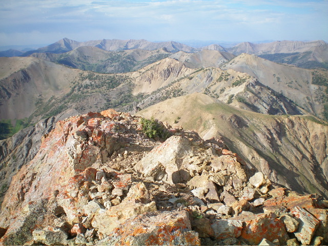
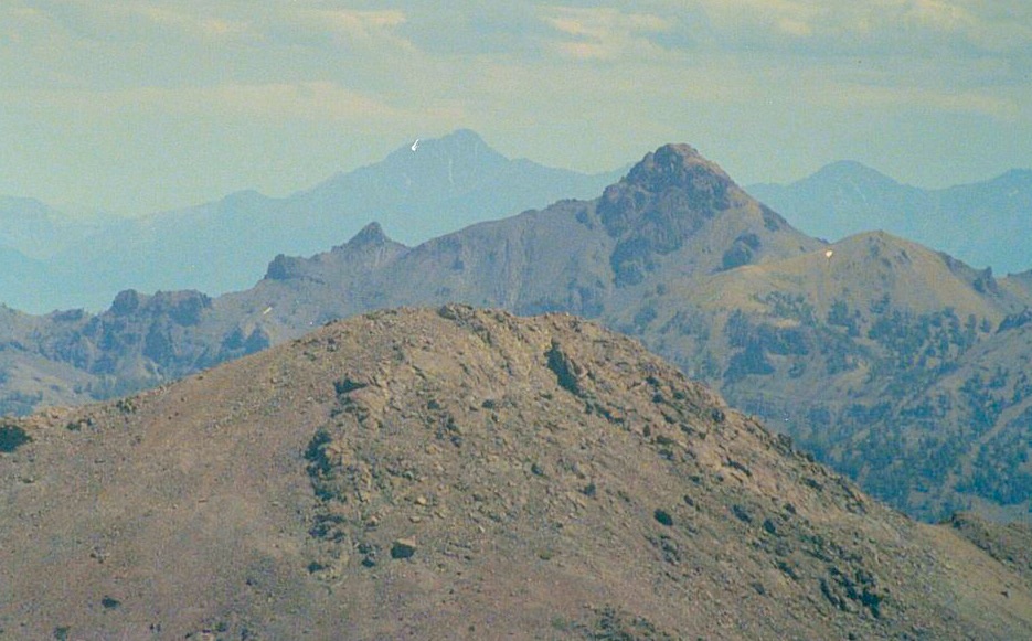
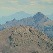
Summit view from atop Mystery Peak, looking southwest. Point 10500 is the gentle hump in mid-ground (dead center). Livingston Douglas Photo
Southwest Ridge/East Face, Class 3
The Climb
Once on the ridge saddle at 10,260 feet (which sits below, and northeast of, Point 10500), scramble northeast up the narrow southwest ridge in a mix of embedded rock, ridge outcrops, and loose gravel. Skirt the right/east side of the ridge cliffs on loose, angled gravel at their base. Continue east until you reach the gentle east ridge in a flattish area (Baugher calls this the southeast ridge). Scramble up the east face from here. It is a much easier starting point than earlier points on the south (or east) face of this rugged peak.
Scramble west up an easy chute to reach the steeper face rock. Work your way up ledges and chutes to reach the summit (Class 3). The summit is on a narrow ridge crest. I built the summit cairn on the high point and stuck a 7-foot triangulation post in it. There is another large cairn about 20-30 feet to the north of the high point and about 10 feet lower in elevation. The true high point has more triangulation wood and wiring just below it to the east than the [lower] northern point.
I attempted to descend the northwest gully all the way back to Miller Canyon Road (the Baugher route) but it got very narrow, steep, and rocky with pines and deadfall to boot. An ugly mess. I exited the gully and returned diagonally northwest back up onto the open sagebrush slopes then down through the pine forest to the terminus of Miller Canyon Road, retracing my ascent route.
2012 Group Climb
Mystery Peak probably does not see many climbers most years. Dan Robbins led a group of 11 (including me) climbers to the summit in 2012.
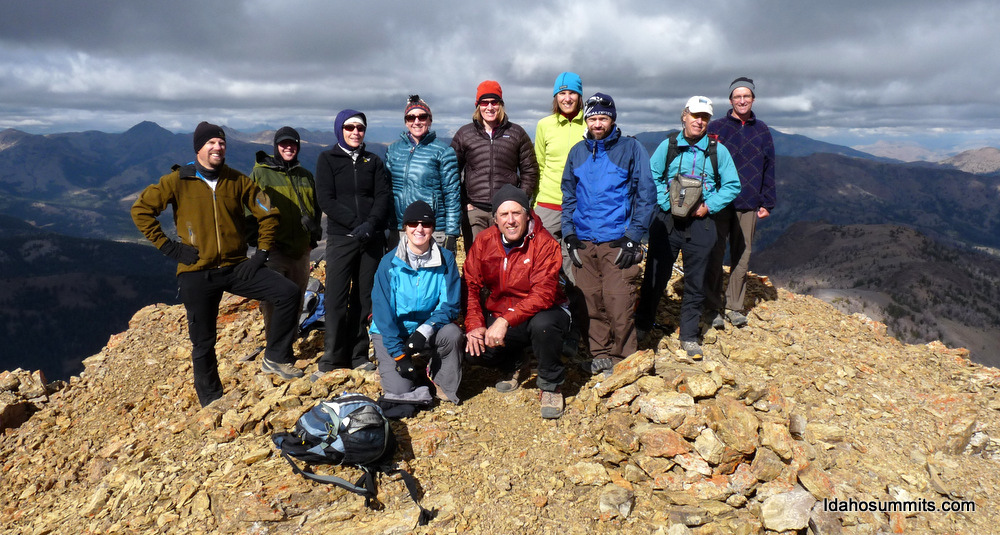
This photo is from the IdahoSummits Fall Outing. Probably more people on the summit in one day than in the last five years. Dan Robbins Photo
Additional Resources
