Elevation: 7,058 ft
Prominence: 1,678
This peak is not in the book. Updated December 2024
Nipple Benchmark is the high point on a long ridgeline that extends from the mouth of Dry Gulch northward to the south side of Hat Creek. The peak towers over the Salmon River to its east. Nipple Benchmark is a straightforward climb from Dry Gulch Road to its southwest via the south ridge. USGS Hat Creek
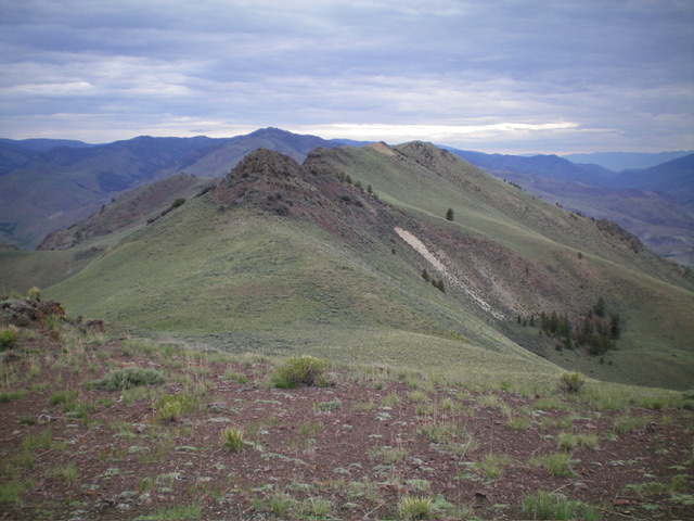
Nipple Benchmark and its bumpy south ridge as viewed from Point 6987. The summit is the final ridgeline hump just right of center. Livingston Douglas Photo
Access
From US-93 at Ellis, drive 0.8 miles north on US-93 to a signed junction for Deer Creek. Turn left/west off US-93 and drive across the bridge over the Salmon River to a “T” junction. Go right/north here onto [unsigned] Hat Creek Road and stay left at an immediate junction (a BLM campground road goes to the right). Follow this narrow, but maintained, BLM road northward as it follows the west side of the Salmon River.
Upon reaching Dry Gulch (in open terrain), the road bends left/west (then northwest) to head up Dry Gulch. Park in a pullout along Dry Gulch Road near an unsigned junction with a 2-track road that heads north toward Nipple Benchmark. This pullout is 2.6 miles up from the bridge crossing of the Salmon River. The road junction (near the pullout) is at 4,955 feet.
South Spur/South Ridge, Class 2-3
The Climb
From the roadside pullout, hike ¾ mile north then northeast up the [unsigned] 2-track road to a fork in the gully in an open area, before reaching the end of the road at an old, rusty cattle cistern (“WT” on the USGS topo map). Leave the road here (5,260 feet) at the toe of the south spur. Head northeast then north up the spur ridge. It weaves a bit but leads directly up to the south ridge just below a minor ridge hump. The terrain on the south spur is a mix of sagebrush and scree (high up). The spur steepens higher up and is a grind up some steep-ish scree/gravel with sagebrush mixed in.
Once on the south ridge, head left/northwest up the ridge. The ridge weaves a bit on its way northward to Nipple Benchmark. The south ridge is easy scrub and scree/gravel initially but soon has a somewhat tedious, narrow section of ridge boulders and sagebrush. The ridge bends right/north then right/northeast to climb a steep face of sagebrush and loose scree/gravel to reach gentle Point 6987, which has a torn-down cairn atop it. Descend 145 vertical feet in easy sagebrush to a sagebrush saddle.
From the saddle, head north to approach an ugly, rugged, narrow ridge section of rocky outcrops and boulders. Either climb up over these rocky outcrops in a mix of annoying sagebrush and exposed minor towers and boulders (very tedious Class 3 which I did on the ascent) or skirt its left/west side in sagebrush with a few patches of a boulder/sagebrush mix (Class 2 which I did on the descent). Once past this nasty ridge section, work through some additional narrow ridge rock and sagebrush (not too difficult) to reach an easy section of sagebrush and a final, gentle false summit hump.
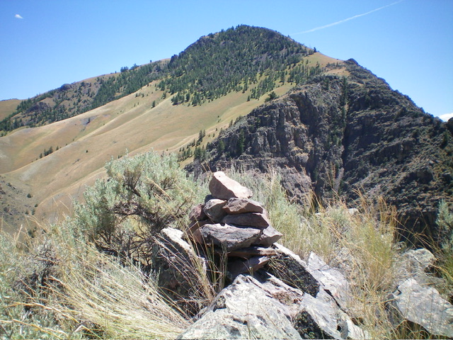
Descend 70 feet to a final saddle then scramble north up easy scrub to the bare summit of Nipple Benchmark. The summit has two USGS benchmarks and a triangulation post and wiring. There was no summit cairn so I built one.
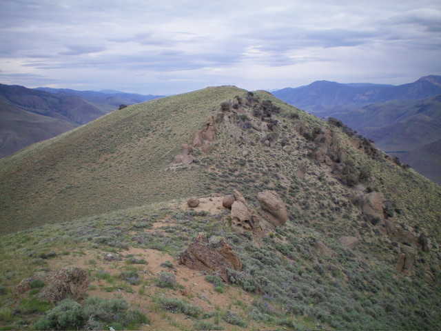
The summit hump of Nipple Benchmark as viewed from the final false summit to its south. Livingston Douglas Photo
Nipple Benchmark as viewed from Peak 5588 to its northwest. Livingston Douglas Photo
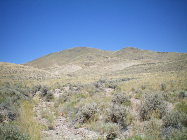
Nipple Benchmark as viewed from the southwest. Livingston Douglas Photo
Additional Resources
Regions: Eastern Salmon River Mountains->Salmon River Mountains->Southeast Corner Peaks->WESTERN IDAHO
Mountain Range: Eastern Salmon River Mountains
Longitude: -114.0311 Latitude: 44.7671