Elevation: 10,824 ft
Prominence: 364
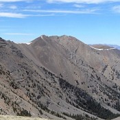
Climbing and access information for this peak is on Page 284 of the book. Use the Dave Pahlas link below to read about his and John Platt’s marathon peak climbing adventure that includes both Massacre peaks. Livingston Douglas added new photos. Updated November 2024
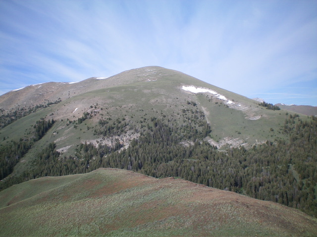
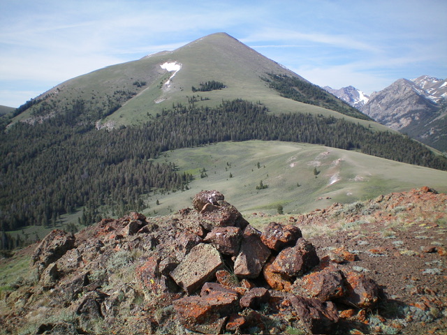
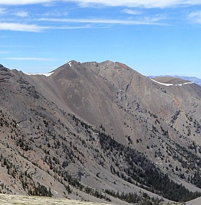
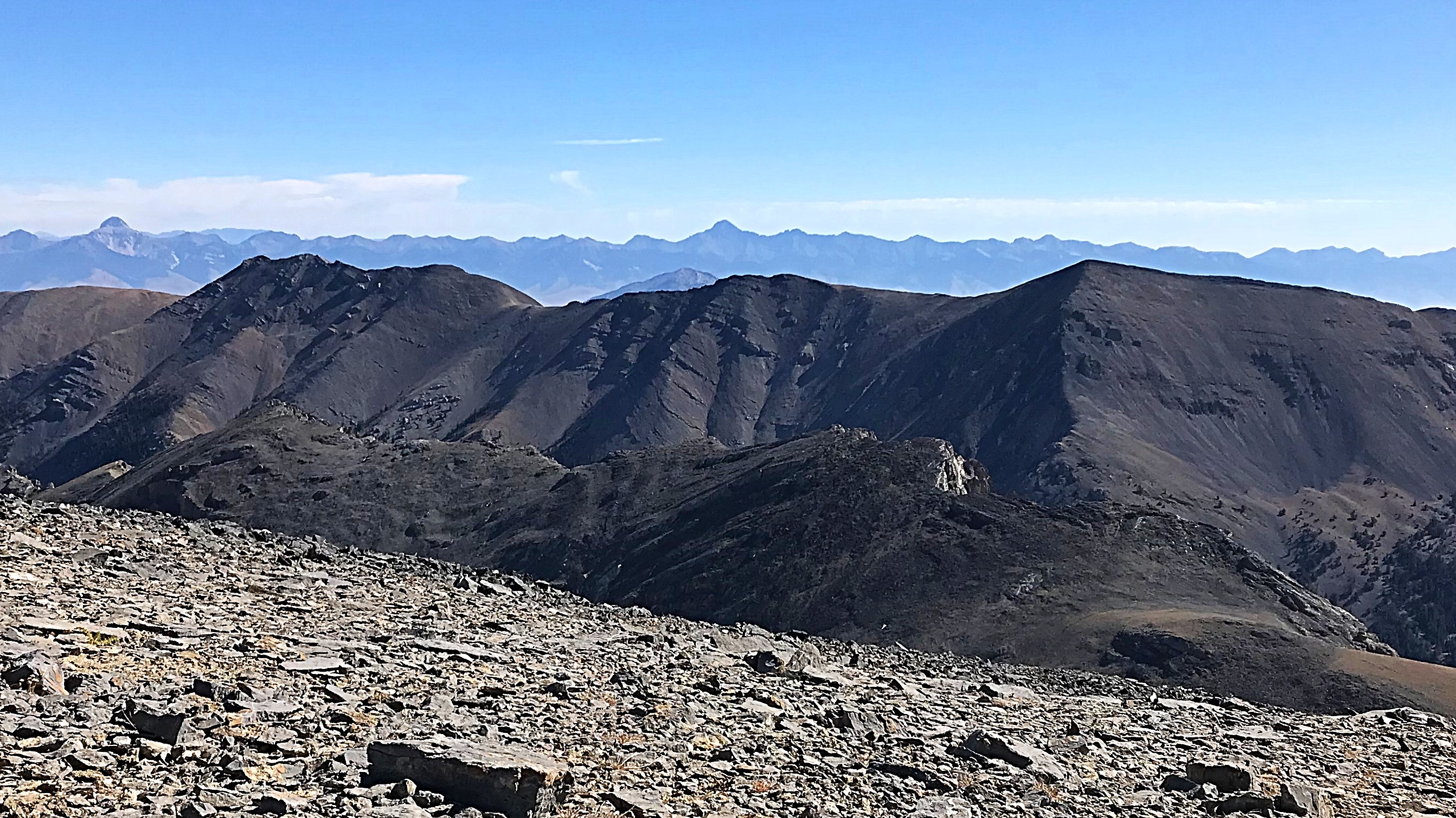
One of two peaks on a massive North-South ridgeline, North Massacre Peak is seldom climbed. I climbed this peak from Buck Springs in conjunction with a climb of Massacre Mountain. USGS Massacre Mountain
Access
The route in the book begins along the Long Lost Creek Road [(A)(6.1.1)(a) on Page 290]. This approach provides the shortest route to the summit. To climb both Massacre and North Massacre via a long, scenic ridge walk start at Buck Springs Road [(A)(6.2) on Pages 290-291]. Please note that Buck Springs Road is incorrectly identified in the book as Burnt Creek Road. The route from Buck Springs Road is a long Class 2 hike to the summit.
Additional Resources
Regions: EASTERN IDAHO->Lost River Range
Mountain Range: Lost River Range
Year Climbed: 1988
Longitude: -113.53721 Latitude: 44.07969
