Elevation: 7,100 ft
Prominence: 1,520
This peak is not in the book.
Packer John Mountain is located in the North Fork Range, east of ID-55. The peak has a long North-South summit ridge which was once the home of a fire lookout. The true summit is farther south and almost 50 feet higher. USGS Packer John Mountain
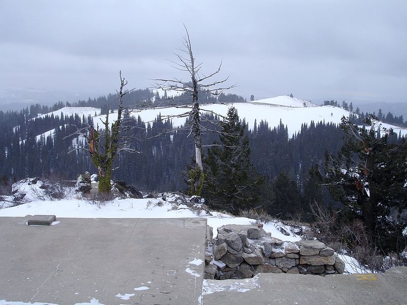
Looking toward the summit of Packer John Mountain from the location of the fire lookout site. Dave Pahlas Photo
Access and Routes (Class 2)
The North Fork Range has a tangle of roads. Offering driving directions that you could rely upon is beyond me at this point. Google Maps provides directions from the south that I believe use a recently-closed road. Google Maps directions from Smiths Ferry should work but I have not field checked them. John Platt and Dave Pahlas accessed the peak from Big Eddie Campground along ID-55. You can read about their long, brushy climb by using the links below. By using a road approach, you can get to within 150 vertical feet of the summit.
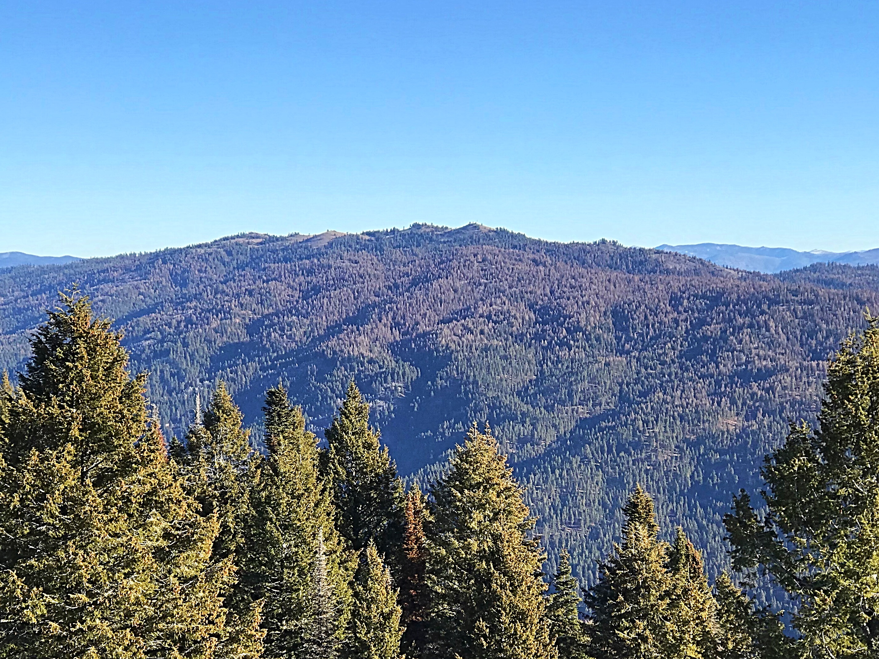
Packer John Mountain as viewed from Dry Buck Mountain.
Additional Resources
Mountain Range: Western Salmon River Mountains
Longitude: -116.067 Latitude: 44.20359