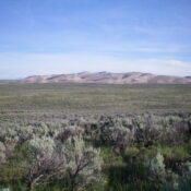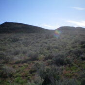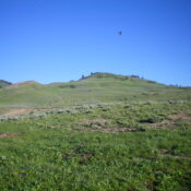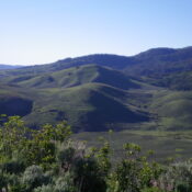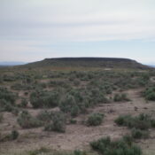
This peak is not in the book. Published November 2022 Fossil Butte is located along ID-78 near the Snake River. The butte is located just off ID-78 and is entirely on BLM land. There is a badly-rutted 2-track road that leads to the base of the summit block. USGS Oreana Access Fossil Butte Road (unsigned) is located 3.9 miles northwest … Continue reading
Book Updates
This peak is not in the book. Published November 2022 Canyon Benchmark is a minor peak in the Bennett Hills. It is located on the west side of Mount Bennett Road and sits above Little Canyon and Goodman Flat to its east. This area is a mix of private and public land, so be careful. This hike is entirely on … Continue reading
This peak is not in the book. Published November 2022 Sand Mountain is perhaps the most appropriately-named peak in the entire St. Anthony Sand Dunes Complex. While the USGS topo map makes this trek look complicated, it is not. It is a combination of a sagebrush bushwhack and a climb up undulating sand dunes. Sand Mountain is heavily used by … Continue reading
This peak is not in the book. Published November 2022 Quaking Aspen Butte is a multi-humped butte that is located on the east side of the Arco-Minidoka Road about 18 miles south of Arco, Idaho. It is most easily climbed via its west face. This climb is entirely on BLM land. USGS Quaking Aspen Butte Access The Arco-Minidoka (A-M) Road … Continue reading
This peak is not in the book. Published November 2022 Peak 7220 sits north of Wells Summit and separates Basalt Creek from Red Rock Creek in the Soldier Mountains. It is most easily climbed from Gooding Cow Camp on its east side. USGS Dollarhide Mountain Access From the signed junction of FSR-095/Wells Summit Road and FSR-015/Little Smoky Road, drive 0.7 … Continue reading
This peak is not in the book. Published November 2022 Peak 7222 is a rounded hump that separates White Rag Gulch from Liberal Creek. It is located northeast of Wells Summit and southeast of Ditto Flat. It is most easily climbed from FSR-018/Liberal Creek Road. USGS Dollarhide Mountain Access From the signed junction of FSR-015/Little Smoky Road and FSR-018/Liberal Creek … Continue reading