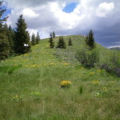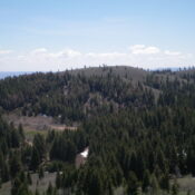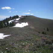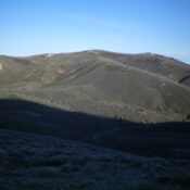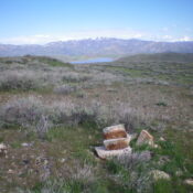
This peak is not in the book. Published November 2022 Peak 5661 is an overlooked summit that towers over US-20 due west of Cat Creek Summit. This area is a mix of private and public land, so be careful. This climb is entirely on BLM land. The north side of the peak offers the only public access. The north ridge … Continue reading
Book Updates
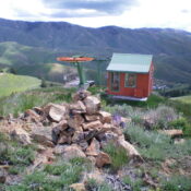
This peak is not in the book. Published November 2022 Soldier Peak is the high point of the Soldier Mountain Ski Area north of Fairfield. It can be reached by a service road or can be hiked via a 2-track road/trail (closed to motorized vehicles) from the Pioneer Campground on FSR-093, 0.3 miles up from the main ski parking area. … Continue reading
This peak is not in the book. Published November 2022 Pioneer Peak is located in the Soldier Mountain Ski Area north of Fairfield. It can be reached by a service road from Soldier Peak or can be hiked via a 2-track road (closed to motorized vehicles) from the Pioneer Campground on FSR-093, 0.3 miles up from the main ski parking … Continue reading
This peak is not in the book. Published November 2022 Peak 6783 is a seldom-climbed peak that is located on the south side of FSR-007 in the Soldier Mountains. It sits just west of Chimney Creek and is most easily climbed from FSR-007. It can be climbed in combination with nearby Peak 6885. USGS Deer Mountain Access From its well-signed … Continue reading
This peak is not in the book. Published November 2022 Wells Mountain is a ridge hump (with a USGS benchmark) that is located on the long south ridge of Elk Ridge (8,551 feet) in the Soldier Mountains. It sits above Wells Summit and is an easy scramble from the roadside pullout there. It is typically climbed in combination with Elk … Continue reading
This peak is not in the book. Published November 2022 Camas Benchmark is a seldom-climbed peak that is located at the head of the Negro Creek drainage in the Soldier Mountains. This area is a mix of public and private land, so be careful. This hike is entirely on BLM land and is probably the only publicly-accessible route to the … Continue reading