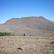
Peak 9338 by Livingston Douglas

This peak is not in the book. Published November 2021 Peak 9338 sits above, and southeast of, Buster Lake. The easiest ascent route is from Buster Lake and the northwest face and west ridge. Peak 9338 has very rugged north and east aspects. USGS Bayhorse Lake Access From the junction of US-93 and Main Street in Challis, drive west on … Continue reading
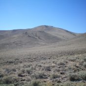
Keystone Mountain by Livingston Douglas

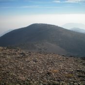
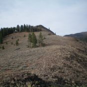
This peak is not in the book. Published November 2021 Keystone Mountain is an unranked hump on the northeast ridge of Ramshorn Mountain (9,895 feet). It sits above Merrimac Gulch and Keystone Gulch and has a road to the top coming up Keystone Gulch from Garden Creek. USGS Bayhorse Access From the junction of US-93 and Main Street in Challis, … Continue reading

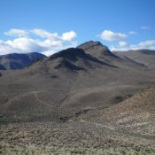
Peak 8660 by Livingston Douglas

This peak is not in the book. Published November 2021 Peak 8660 is a minor hump that is located due east of Keystone Mountain (9,518 feet). It is located at the head of both Keystone Gulch and Beardsley Gulch. Peak 8660 is most easily reached from FSR-052, which comes up Keystone Gulch from Garden Creek Road. The west face of … Continue reading

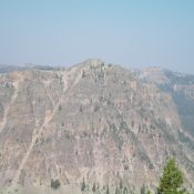
Peak 7253 by Livingston Douglas

This peak is not in the book. Published November 2021 Peak 7253 towers over Challis Creek to the north and Jeffs Flats to the south. It is most easily climbed from FSR-253 to its south via its southwest ridge. USGS Pats Creek Access From US-93 at the north end of Challis, turn left/west onto [signed] Clinic Avenue. Follow Clinic Avenue … Continue reading

Peak 7300 by Livingston Douglas

This peak is not in the book. Published November 2021 Peak 7300 is an impressive hill that towers over Jeffs Flats to its north and Mill Creek to its east. It is most easily climbed from Jeffs Flats Road. USGS Pats Creek Access From US-93 at the north end of Challis, turn left/west onto [signed] Clinic Avenue. Follow Clinic Avenue … Continue reading

Peak 6643 by Livingston Douglas

This peak is not in the book. Published November 2021 Peak 6643 is a rugged, rocky outcrop amongst a sea of sagebrush hills that separate Jeffs Creek from Mill Creek in the Eastern Salmon River Mountains. It is a short climb from Jeffs Flats Road/FSR-079. USGS Pats Creek Access Same as for Peak 6340. This is the third leg of a … Continue reading