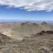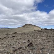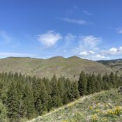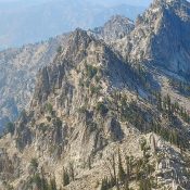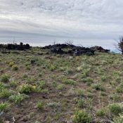
This peak is not in the book. Published May 2021 Peak 5555 is located southeast of Jordan Valley, Oregon. It has two summits of nearly equal height. The east summit is the high point. The west summit has a USGS benchmark dating from 1961. USGS Stonehouse Creek Access This peak is accessed from Flint Road, which is part of the … Continue reading
Book Updates
This peak is not in the book. Published May 2021 Phlox Hill is located west-northwest of South Mountain along the Idaho/Oregon border. The name reflects the extensive display of phlox which decorates the peak’s slopes. Although a short hike, like many peaks in this area, the view from the summit is delightful. USGS Parsnip Peak Access Take Yturri Boulevard east … Continue reading
This peak is not in the book. Published May 2021 Half Moon Peak is located northeast of Rough Mountain and just east of Half Moon Pass. This broad peak contains a number of summit points. The centermost point is the highest one. I suspect that most people who have visited its summit either did so after climbing Rough Mountain or … Continue reading
Climbing and access information for this peak is on Page 345 of the book. The information in the book is accurate. However, the road access discussed in the book has deteriorated significantly and driving to Half Moon Pass is no longer advisable. This page replaces the book entry. Published May 2020 Rough Mountain is the tallest peak located southeast of … Continue reading
This peak is not in the book. Published May 2021 Friday Butte is located north-northwest of Ola, Idaho and southwest of Tripod Peak. Although a low elevation peak, this summit harbors extensive views of this little-known but beautiful area. This peak has two nearly identical summits separated by a shallow saddle. The westernmost summit is the high point. There are … Continue reading
This peak is not in the book. Published April 2021 This impressive peak is located due west of Mount Regan. It rises steeply above both Trailer Lakes and Trail Creek Lakes. There are no reported ascents. USGS Stanley Lake … Continue reading