Peak 4820

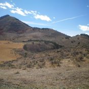
Peak 4820 viewed from the northwest.

This peak is not in the book. Published November 2020 This upside-down, cake-shaped peak is located south of Murphy, Idaho and northeast of Reynolds, Idaho. USGS Reynolds Access Access the ridge from the Reynolds Stage Coach Road/Rabbit Creek Road. Reach this paved and then good gravel road from ID-78 at the east end of Murphy, Idaho. Follow this road south … Continue reading
Homers Nipple

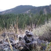
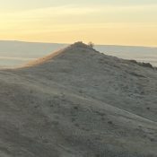
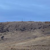
Homers Nipple viewed from the eastern edge of Table Rock.

This small peak is not in the book. Homers Nipple is located west of Table Rock. Although short in stature and prominence, it is a distinctive summit when viewed from the Boise valley to the east. Urban expansion is closing in on this peak. Part of the expansion includes a new trail which, when built, will improve access to this … Continue reading

Table Rock

This peak is not in the book. Published November 2020 Table Rock stands over the northeast corner of Boise. It has a large lighted cross on its summit. Table Rock is very popular with Boisiens. A few notes for those not familiar with it. The high point on the map no longer exists as the quarry on the east side … Continue reading

Peak 7020 by Livingston Douglas

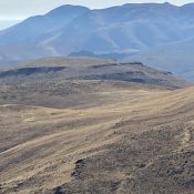
Peak 7020 and its long, magnificent north ridge (upper left to lower right). Livingston Douglas Photo

This peak is not in the book. Published November 2020 Peak 7020 is a stunning ridgeline summit located southeast of Malad City, ID. The mountain is situated between Twomile Canyon to the north and Fourmile Canyon to the south. Its north ridge is a magnificent ridge scramble from Twomile Canyon Road/FSR-052. However, the summit ridge crest is a bit of … Continue reading

Peak 6945 by Livingston Douglas

The summit of antenna-clad Peak 6945 (left of center) as viewed from high on the north ridge. Livingston Douglas Photo

This peak is not in the book. Published November 2020 Peak 6945 is on a ridgeline mountain that separates Garden Creek from Rattlesnake Creek. It is overshadowed by its much bigger neighbor to the east, Old Tom Mountain (8,733 feet). Due to private property, Peak 6945 is best climbed in combination with Peak 6544 to its north from a 6,222-foot … Continue reading

Peak 6544 by Livingston Douglas

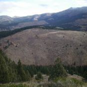
Peak 6544 (mid-ground) as viewed from the southwest. The summit is left of center, next to the forest line. Livingston Douglas Photo

This peak is not in the book. Published November 2020 Peak 6544 is a minor, forested hump that sits above Garden Creek in the Bannock Range. It is overshadowed by its neighbor to the east, Old Tom Mountain (8,733 feet). Peak 6544 can be combined with a climb of nearby Peak 6945 for a more worthwhile endeavor. Please be advised … Continue reading