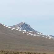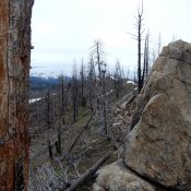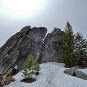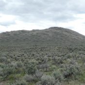
This peak is not in the book. Livingston Douglas added a new descent route and photos. Updated November 2024 This peak is the lowest of the three ranked summits in the the Red Hills subrange of the Lost River Range. It is located southeast of Taylor Mountain, the highest peak in this small subrange. USGS Red Hills Access Primary access is … Continue reading
Book Updates
This peak is not in the book. Livingston Douglas added a new access point, a new route, and photos. Updated November 2024 Red Hill is the second highest peak in the Red Hills subrange of the Lost River Range. It is a treeless peak with one of the best 360-degree views in Idaho. USGS Red Hills Access Primary access is … Continue reading
This peak is not in the book. Livingston Douglas added a new access point, new route, and new photos. Finally, the North Ridge Route is discussed below. Unfortunately, private property now blocks this route. Updated November 2024 Donkey Benchmark is the highest point in the Donkey Hills. It is located at the northwest end of this Lost River Range subrange. … Continue reading
This peak is not in the book. Livingston Douglas added a new route and photos. Updated November 2024 This Taylor Mountain, one of four Idaho peaks with this name, is the highest point in the Red Hills. The Red Hills are a subrange of the Lost River Range located between the Lost River Range’s crest and the Little Lost River … Continue reading
This peak is not in the book. Published May 2020 Phoebe Peak is located southwest of Peak 6820 (Keyhole Mountain) on the massive Log Mountain/Deadwood Divide. USGS Teapot Mountain Access This peak is accessed via FST-090/Indian Ridge Trail [(C)(1.1)(b) on Page 139]. This well-maintained trail leaves the South Fork Salmon River Road at the Krassel Guard Station which is located … Continue reading
This peak is not in the book. Published May 2020 Keyhole Mountain is unofficially named after the keyhole in the peak’s summit block. Although one of the lower elevation summits on the Log Mountain -Deadwood Divide, it is a long haul to reach its summit from the deep South Fork Salmon River Canyon bottom. USGS Teapot Mountain Access This peak … Continue reading